
| Distance / Altitude | Location | Report Date / Time | Live Weather | Wind | Gusts | Temp. | Visibility | Cloud |
|---|---|---|---|---|---|---|---|---|
| 3 km E / 375 m | Vága Floghavn/Sørvágur-Airport (Denmark) | 2025-12-25 20:20 local (2025/12/25 20:20 GMT) | - | light winds from the SSW (7 km/h at 210) | 7°C | 10.0 | ||
| 18 km WSW / 100 m | Mykines Fyr (Denmark) | 2025-12-25 19:00 local (2025/12/25 19:00 GMT) | no report | light winds from the SSW (15 km/h at 210) | 10°C | - | - - - | |
| 245 km SE / 3 m | K7 Buoy (Marine) | 2025-12-25 21:00 local (2025/12/25 21:00 GMT) | light winds from the S (9 km/h at 170) | 10°C | - | |||
| 246 km SE / - m | SHIP882 (ocean) | 2025-12-25 21:00 local (2025/12/25 21:00 GMT) | - | light winds from the S (9 km/h at 170) | 10°C | - | no observation | |
| 295 km ESE / 3 m | Clair (Marine) | 2025-12-25 21:00 local (2025/12/25 21:00 GMT) | - (- km/h at -) | — | - | |||
| 295 km ESE / 3 m | Clair (Marine) | 2025-12-25 21:00 local (2025/12/25 21:00 GMT) | - (- km/h at -) | — | - | |||
| 306 km ESE / - m | SHIP880 (ocean) | 2025-12-25 21:01 local (2025/12/25 21:01 GMT) | Clear skies | calm (2 km/h at 150) | — | - | no observation | |
| 376 km ESE / 15 m | BaltasoundNO2 (United Kingdom) | 2025-12-25 21:00 local (2025/12/25 21:00 GMT) | Snow | light winds from the SSW (11 km/h at 210) | 7°C | 50 km | - overcast - | |
| 395 km ESE / 82 m | Lerwick (United Kingdom) | 2025-12-25 21:00 local (2025/12/25 21:00 GMT) | Snow | light winds from the SSW (6 km/h at 210) | 7°C | 29 km | - overcast - | |
| 399 km SSE / 15 m | SHIP7318 (Marine) | 2025-12-25 20:00 local (2025/12/25 20:00 GMT) | fresh winds from the NNE (37.080000000000005 km/h at 20) | — | 8.1 km |
| Contours: | Roads & Rivers: | Select a
tide station / surf break / city |
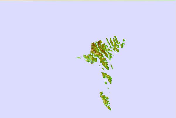
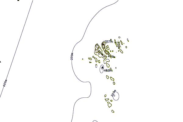
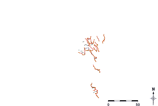
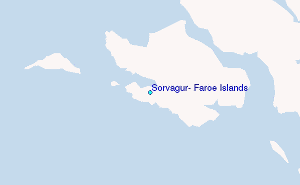
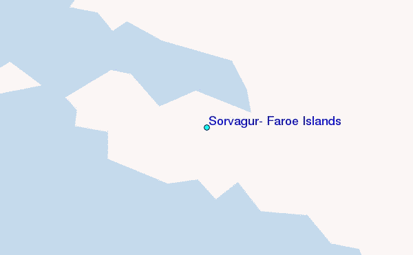
Use this relief map to navigate to tide stations, surf breaks and cities that are in the area of Sørvágur, Faroe Islands.
Other Nearby Locations' tide tables and tide charts to Sorvagur, Faroe Islands:
click location name for more details
 Surf breaks close to Sorvagur, Faroe Islands:
|
||
|---|---|---|
| Closest surf break | Tjornuvik Bay (Streymoy) | 17 mi |
| Second closest surf break | Húsavik Shorey (Sandoy) | 28 mi |
| Third closest surf break | Fámjin Left | 40 mi |
| Fourth closest surf break | Fámjin Right | 40 mi |
| Fifth closest surf break | Birsay Bay | 245 mi |


 Nearest
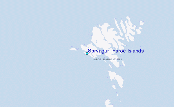