
| Distance / Altitude | Location | Report Date / Time | Live Weather | Wind | Gusts | Temp. | Visibility | Cloud |
|---|---|---|---|---|---|---|---|---|
| 11 km N / 218 m | Bangor Airport (Maine) | 2025-12-25 17:53 local (2025/12/25 22:53 GMT) | - | moderate winds from the NW (24 km/h at 320) | -7°C | 16 | few few broken | |
| 14 km NNE / 63 m | Bangor (Maine) | 2025-12-25 19:19 local (2025/12/26 00:19 GMT) | - | light winds from the NW (18 km/h at 320) | -8°C | - | - - 0 | |
| 14 km NW / 43 m | Hermon wx (United States) | 2025-12-25 17:19 local (2025/12/25 22:19 GMT) | - | calm (5 km/h at 299) | -7°C | - | - - 0 | |
| 18 km NNE / 46 m | Veazie wx (United States) | 2025-12-25 18:24 local (2025/12/25 23:24 GMT) | - | calm (2 km/h at 26) | -8°C | - | - - 0 | |
| 24 km WSW / 109 m | Dixmont (Maine) | 2025-12-25 19:16 local (2025/12/26 00:16 GMT) | - | wind obs. (6 kph from 275 degs) was rejected (- km/h at -) | -7°C | - | - - 0 | |
| 25 km NNE / 115 m | Orono (Maine) | 2025-12-25 19:09 local (2025/12/26 00:09 GMT) | - | calm (0 km/h at 0) | — | - | - - 0 | |
| 26 km ENE / 91 m | Otis (Massachusetts) | 2025-12-25 18:02 local (2025/12/25 23:02 GMT) | - | calm (0 km/h at 61) | -7°C | - | - - 0 | |
| 29 km S / 34 m | Searsport wx (United States) | 2025-12-25 19:15 local (2025/12/26 00:15 GMT) | - | light winds from the N (16 km/h at 349) | -8°C | - | - - 0 | |
| 33 km ESE / 33 m | Ellsworth Falls (Maine) | 2025-12-25 18:28 local (2025/12/25 23:28 GMT) | dry | wind obs. (6 kph from 98 degs) was rejected (- km/h at -) | 7°C | - | - - 0 | |
| 34 km S / 5 m | Belfast (Maine) | 2025-12-25 18:46 local (2025/12/25 23:46 GMT) | - | wind obs. (16 kph from 232 degs) was rejected (- km/h at -) | -6°C | - | - - 0 |
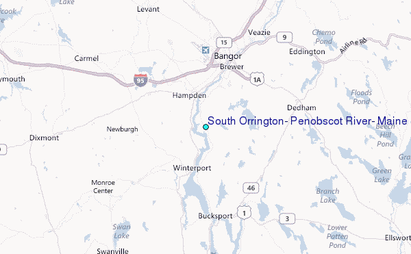
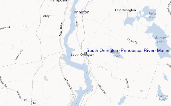
Choose South Orrington, Penobscot River, Maine Location Map Zoom:
| Contours: | Roads & Rivers: | Select a
tide station / surf break / city |
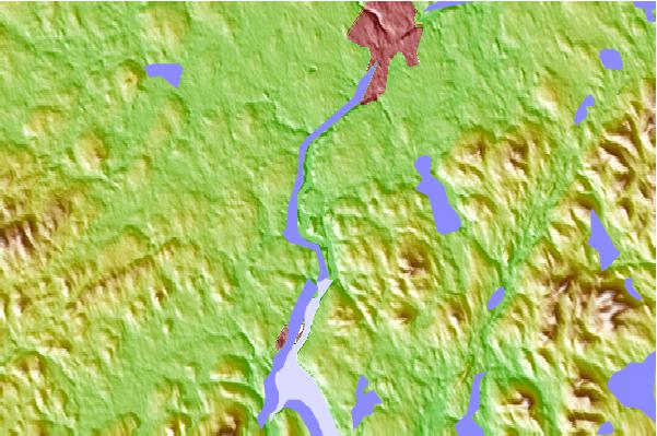
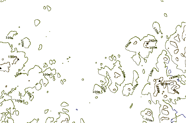
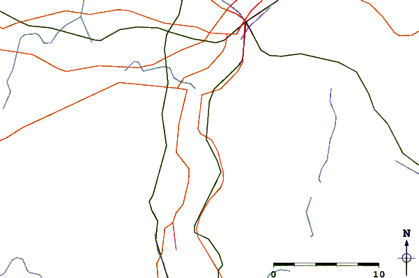
Use this relief map to navigate to tide stations, surf breaks and cities that are in the area of South Orrington, Penobscot River, Maine.
Other Nearby Locations' tide tables and tide charts to South Orrington, Penobscot River, Maine:
click location name for more details
 Surf breaks close to South Orrington, Penobscot River, Maine:
|
||
|---|---|---|
| Closest surf break | Popham Read | 83 mi |
| Second closest surf break | Trayhan's | 88 mi |
| Third closest surf break | Two Lights | 104 mi |
| Fourth closest surf break | Doc Browns | 105 mi |
| Fifth closest surf break | Higgins Beach | 107 mi |


 Nearest
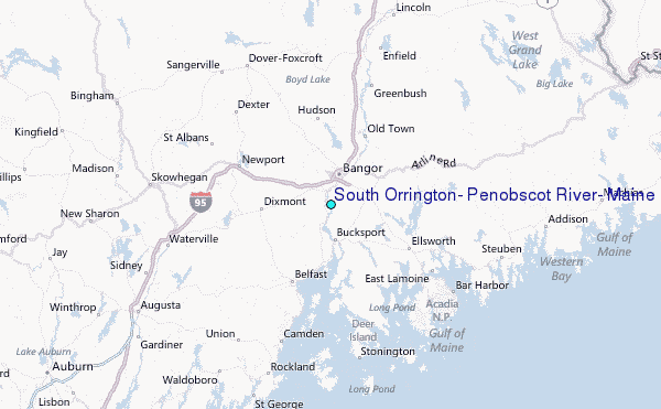