
| Distance / Altitude | Location | Report Date / Time | Live Weather | Wind | Gusts | Temp. | Visibility | Cloud |
|---|---|---|---|---|---|---|---|---|
| 15 km ENE / 3 m | San Francisco Buoy (Marine) | 2025-12-25 05:50 local (2025/12/25 13:50 GMT) | fresh winds from the SSW (36 km/h at 210) | — | - | |||
| 21 km ENE / - m | SHIP699 (ocean) | 2025-12-25 05:00 local (2025/12/25 13:00 GMT) | - | strong winds from the SSW (40 km/h at 210) | — | - | no observation | |
| 33 km N / 3 m | BUOY-PRYC1 (Marine) | 2025-12-25 05:48 local (2025/12/25 13:48 GMT) | - (- km/h at -) | — | - | |||
| 34 km ENE / 3 m | San Francisco Bar (Marine) | 2025-12-25 05:30 local (2025/12/25 13:30 GMT) | - (- km/h at -) | 14°C | - | |||
| 44 km E / 10 m | San Francisco (California) | 2025-12-25 06:00 local (2025/12/25 14:00 GMT) | dry | calm (0 km/h at 203) | 14°C | - | - - 0 | |
| 21 km ENE / - m | SHIP710 (ocean) | 2025-12-25 05:00 local (2025/12/25 13:00 GMT) | - | strong winds from the SW (43 km/h at 220) | — | - | no observation | |
| 21 km ENE / - m | SHIP1185 (ocean) | 2025-12-25 06:00 local (2025/12/25 14:00 GMT) | - | fresh winds from the SSW (36 km/h at 210) | — | - | no observation | |
| 21 km ENE / - m | SHIP91 (ocean) | 2025-12-25 05:00 local (2025/12/25 13:00 GMT) | - | strong winds from the SSW (40 km/h at 200) | — | - | no observation | |
| 21 km ENE / - m | SHIP1100 (ocean) | 2025-12-25 06:00 local (2025/12/25 14:00 GMT) | - | strong winds from the SSW (40 km/h at 210) | — | - | no observation | |
| 21 km ENE / - m | SHIP157 (ocean) | 2025-12-25 05:00 local (2025/12/25 13:00 GMT) | - | strong winds from the SSW (40 km/h at 200) | — | - | no observation |
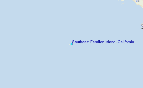
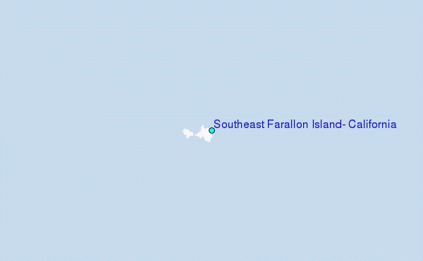
Choose Southeast Farallon Island, California Location Map Zoom:
| Contours: | Roads & Rivers: | Select a
tide station / surf break / city |
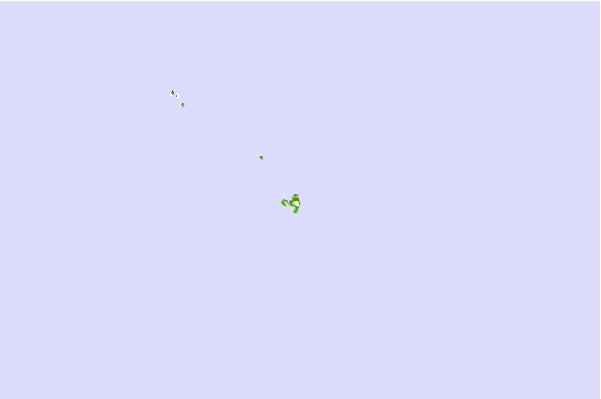
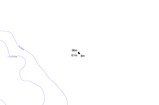
Use this relief map to navigate to tide stations, surf breaks and cities that are in the area of Southeast Farallon Island, California.
Other Nearby Locations' tide tables and tide charts to Southeast Farallon Island, California:
click location name for more details
 Surf breaks close to Southeast Farallon Island, California:
|
||
|---|---|---|
| Closest surf break | Double Point | 21 mi |
| Second closest surf break | Bolinas Jetty | 21 mi |
| Third closest surf break | The Patch | 21 mi |
| Fourth closest surf break | Drakes Bay | 23 mi |
| Fifth closest surf break | Drakes Estero | 23 mi |


 Nearest
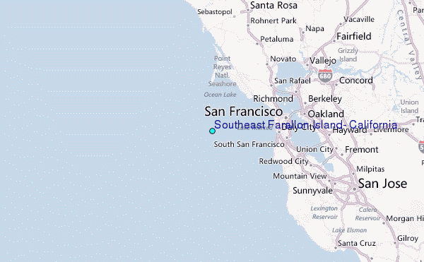