
| Distance / Altitude | Location | Report Date / Time | Live Weather | Wind | Gusts | Temp. | Visibility | Cloud |
|---|---|---|---|---|---|---|---|---|
| 15 km E / 3 m | BUOY-ACYN4 (Marine) | 2026-04-04 22:48 local (2026/04/05 02:48 GMT) | - (- km/h at -) | — | - | |||
| 15 km N / 217 m | Atlantic City Airport (New Jersey) | 2026-04-04 21:54 local (2026/04/05 01:54 GMT) | Mist - | light winds from the E (19 km/h at 90) | 9°C | 1 | overcast | |
| 26 km NNE / 3 m | BUOY-JCRN4 (Marine) | 2026-04-04 22:30 local (2026/04/05 02:30 GMT) | moderate winds from the NE (26 km/h at 40) | 9°C | - | |||
| 42 km WSW / 218 m | Millville Airport (New Jersey) | 2026-04-04 21:54 local (2026/04/05 01:54 GMT) | Mist - | moderate winds from the E (22 km/h at 80) | 11°C | 8 | overcast | |
| 45 km SSW / 396 m | Wildwood Airport (New Jersey) | 2026-04-04 21:56 local (2026/04/05 01:56 GMT) | Clear | light winds from the ENE (13 km/h at 60) | 12°C | 13 | ||
| 49 km S / - m | SHIP1200 (ocean) | 2026-04-04 23:00 local (2026/04/05 03:00 GMT) | No report | fresh winds from the S (30 km/h at 170) | 13°C | - | no observation | |
| 49 km S / 3 m | SHIP8965 (Marine) | 2026-04-04 23:00 local (2026/04/05 03:00 GMT) | fresh winds from the S (30 km/h at 170) | 13°C | - | |||
| 49 km S / - m | SHIP848 (ocean) | 2026-04-04 23:00 local (2026/04/05 03:00 GMT) | No report | moderate winds from the S (28 km/h at 180) | 13°C | - | no observation | |
| 49 km S / - m | SHIP743 (ocean) | 2026-04-04 23:00 local (2026/04/05 03:00 GMT) | No report | moderate winds from the S (28 km/h at 180) | 13°C | - | no observation | |
| 49 km S / 15 m | SHIP10039 (Marine) | 2026-04-04 23:00 local (2026/04/05 03:00 GMT) | fresh winds from the S (29.52 km/h at 170) | 8°C | - km |
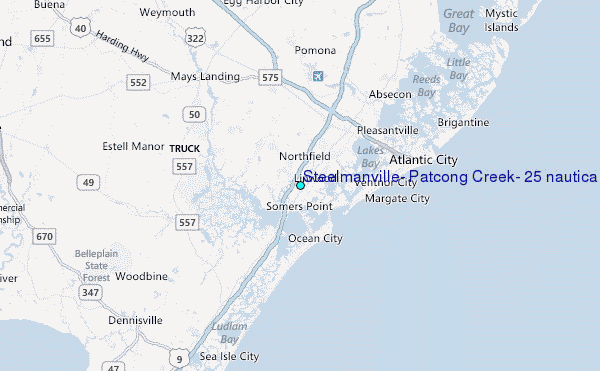
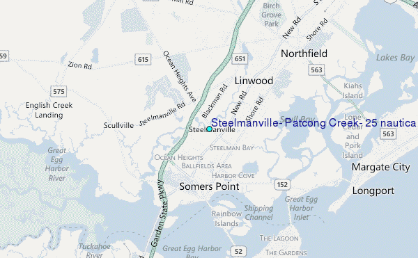
Choose Steelmanville, Patcong Creek, 2.5 nautical miles above entrance, New Jersey Location Map Zoom:
| Contours: | Roads & Rivers: | Select a
tide station / surf break / city |
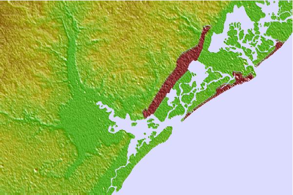
Use this relief map to navigate to tide stations, surf breaks and cities that are in the area of Steelmanville, Patcong Creek, 2.5 nautical miles above entrance, New Jersey.
Other Nearby Locations' tide tables and tide charts to Steelmanville, Patcong Creek, 2.5 nautical miles above entrance, New Jersey:
click location name for more details
 Surf breaks close to Steelmanville, Patcong Creek, 2.5 nautical miles above entrance, New Jersey:
|
||
|---|---|---|
| Closest surf break | Great Egg Harbor Inlet Longport | 4 mi |
| Second closest surf break | Waverly | 4 mi |
| Third closest surf break | 5th Street | 4 mi |
| Fourth closest surf break | Margate Pier | 4 mi |
| Fifth closest surf break | North Street | 4 mi |


 Nearest
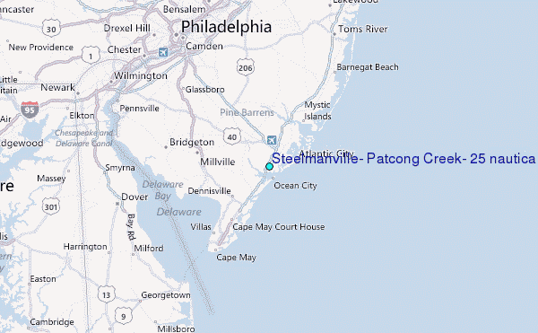