
| Distance / Altitude | Location | Report Date / Time | Live Weather | Wind | Gusts | Temp. | Visibility | Cloud |
|---|---|---|---|---|---|---|---|---|
| 11 km S / 215 m | Wrangell Airport (Alaska) | 2024-04-19 05:56 local (2024/04/19 13:56 GMT) | Clear | calm (0 km/h at 0) | 4°C | 16 | ||
| 13 km S / 3 m | BUOY-WGXA2 (Marine) | 2024-04-19 07:33 local (2024/04/19 15:33 GMT) | calm (4 km/h at 150) | 6°C | - | |||
| 37 km W / 46 m | Scow Bay wx (United States) | 2024-04-19 07:10 local (2024/04/19 15:10 GMT) | - | calm (0 km/h at 0) | — | - | - - 0 | |
| 45 km WNW / 216 m | Petersburg Airport (Alaska) | 2024-04-19 05:56 local (2024/04/19 13:56 GMT) | Clear | calm (0 km/h at 0) | -1°C | 16 | ||
| 46 km W / - m | SHIP4285 (ocean) | 2024-04-19 05:00 local (2024/04/19 13:00 GMT) | - | calm (4 km/h at 210) | 1°C | - | no observation |
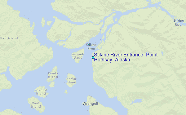
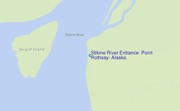
Choose Stikine River Entrance, Point Rothsay, Alaska Location Map Zoom:
| Contours: | Roads & Rivers: | Select a
tide station / surf break / city |
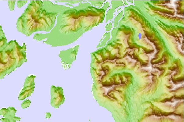
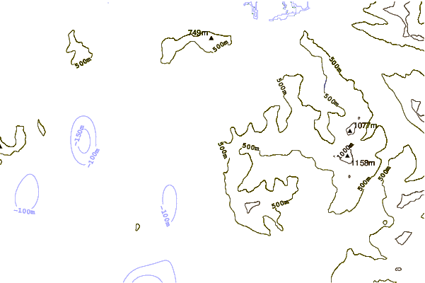
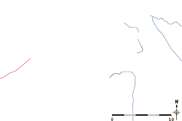
Use this relief map to navigate to tide stations, surf breaks and cities that are in the area of Stikine River Entrance, Point Rothsay, Alaska.
Other Nearby Locations' tide tables and tide charts to Stikine River Entrance, Point Rothsay, Alaska:
click location name for more details
 Surf breaks close to Stikine River Entrance, Point Rothsay, Alaska:
|
||
|---|---|---|
| Closest surf break | Lepus Beach (Haida-Gwaii) | 169 mi |
| Second closest surf break | Tow Hill Beach | 175 mi |
| Third closest surf break | Cannon Beach | 337 mi |
| Fourth closest surf break | Graveyards | 341 mi |
| Fifth closest surf break | Ocean Cape | 342 mi |

 Nearest
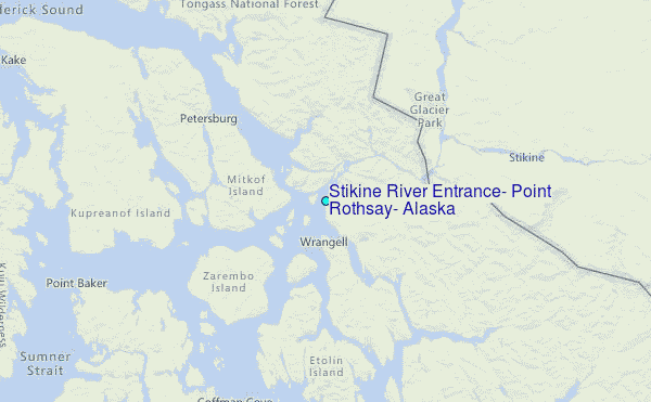