
| Distance / Altitude | Location | Report Date / Time | Live Weather | Wind | Gusts | Temp. | Visibility | Cloud |
|---|---|---|---|---|---|---|---|---|
| 4 km S / 200 m | Bridgeport Airport (Connecticut) | 2026-06-23 23:52 local (2026/06/24 03:52 GMT) | Clear | calm (0 km/h at 0) | 18°C | 16 | ||
| 7 km SW / 3 m | BUOY-BRHC3 (Marine) | 2026-06-24 01:00 local (2026/06/24 05:00 GMT) | calm (5 km/h at 360) | 19°C | - | |||
| 19 km ENE / 3 m | BUOY-NWHC3 (Marine) | 2026-06-24 01:00 local (2026/06/24 05:00 GMT) | calm (5 km/h at 20) | 19°C | - | |||
| 22 km ENE / 218 m | New Haven/Tweed Airport (Connecticut) | 2026-06-23 23:53 local (2026/06/24 03:53 GMT) | Mist - | calm (0 km/h at 0) | 17°C | 10 | ||
| 29 km N / 684 m | Oxford/Waterbury Airport (Connecticut) | 2026-06-23 23:56 local (2026/06/24 03:56 GMT) | Clear | light winds from the NW (7 km/h at 320) | 17°C | 16 | ||
| 36 km W / 218 m | Danbury Airport (Connecticut) | 2026-06-23 23:53 local (2026/06/24 03:53 GMT) | Clear | light winds from the WSW (7 km/h at 240) | 17°C | 16 | ||
| 42 km NNE / 218 m | Meriden Airport (Connecticut) | 2026-06-24 00:44 local (2026/06/24 04:44 GMT) | - | calm (0 km/h at 0) | 17°C | 0.0 | broken | |
| 45 km S / 218 m | Islip Airport (New York) | 2026-06-23 23:56 local (2026/06/24 03:56 GMT) | Dry and partly cloudy | light winds from the NW (7 km/h at 320) | 18°C | 16 | few broken | |
| 48 km S / 41 m | Dix Hills (New York) | 2026-06-24 01:26 local (2026/06/24 05:26 GMT) | dry | calm (2 km/h at 265) | 17°C | - | - - 0 | |
| 48 km S / 283 m | Brookhaven Lab Airport (New York) | 2026-06-24 00:35 local (2026/06/24 04:35 GMT) | Dry and cloudy | calm (0 km/h at 0) | 23°C | 16 | overcast |
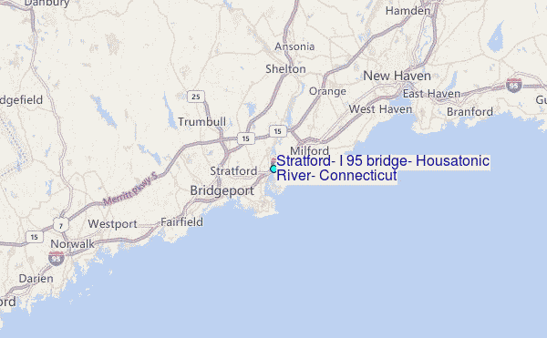
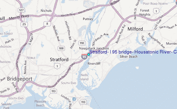
Choose Stratford, I 95 bridge, Housatonic River, Connecticut Location Map Zoom:
| Contours: | Roads & Rivers: | Select a
tide station / surf break / city |
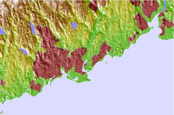
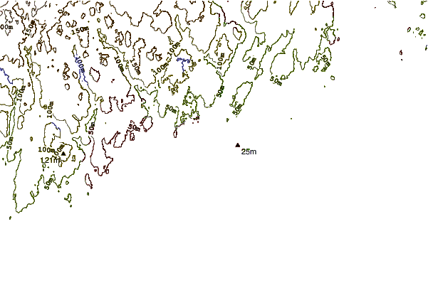
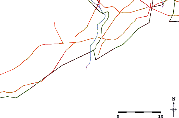
Use this relief map to navigate to tide stations, surf breaks and cities that are in the area of Stratford, I 95 bridge, Housatonic River, Connecticut.
Other Nearby Locations' tide tables and tide charts to Stratford, I 95 bridge, Housatonic River, Connecticut:
click location name for more details
 Surf breaks close to Stratford, I 95 bridge, Housatonic River, Connecticut:
|
||
|---|---|---|
| Closest surf break | Fire Island | 35 mi |
| Second closest surf break | Cupsogue | 37 mi |
| Third closest surf break | Jetty | 37 mi |
| Fourth closest surf break | Point o Woods | 39 mi |
| Fifth closest surf break | Road K | 40 mi |


 Nearest
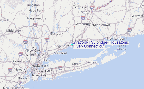