
| Distance / Altitude | Location | Report Date / Time | Live Weather | Wind | Gusts | Temp. | Visibility | Cloud |
|---|---|---|---|---|---|---|---|---|
| 155 km NNE / 3 m | ManokwariRendani (Indonesia) | 2025-12-26 08:00 local (2025/12/25 23:00 GMT) | - | wind obs. (6 kph from 240 degs) was rejected (- km/h at -) | 27°C | 30 km | - overcast - | |
| 298 km ENE / 11 m | BiakFransKaisiepo (Indonesia) | 2025-12-26 08:00 local (2025/12/25 23:00 GMT) | Continuous light rain | light winds from the SSW (13 km/h at 200) | 25°C | 5.0 km | overcast | |
| 299 km ENE / 150 m | Biak/Frans Kaisiepo Airport (Indonesia) | 2025-12-26 08:30 local (2025/12/25 23:30 GMT) | Light rain | light winds from the WSW (11 km/h at 240) | 26°C | 5.0 | few scattered overcast | |
| 302 km W / 3 m | DeoSorong (Indonesia) | 2025-12-26 08:00 local (2025/12/25 23:00 GMT) | - | wind obs. (6 kph from 60 degs) was rejected (- km/h at -) | 26°C | 27 km | - scattered - | |
| 393 km S / 12 m | TualDumatubun (Indonesia) | 2025-12-26 08:00 local (2025/12/25 23:00 GMT) | - | wind obs. (7 kph from 260 degs) was rejected (- km/h at -) | 27°C | 30 km | mostly cloudy | |
| 441 km SE / 3 m | Timika (Indonesia) | 2025-12-26 08:00 local (2025/12/25 23:00 GMT) | - | calm (4 km/h at 310) | 25°C | 30 km | overcast | |
| 620 km SW / 1 m | Leahari wx (Indonesia) | 2025-12-26 08:41 local (2025/12/25 23:41 GMT) | - | - (- km/h at ) | 30°C | - | - - 0 | |
| 627 km SW / 99 m | Kebon Cengkeh wx (Indonesia) | 2025-12-26 09:01 local (2025/12/26 00:01 GMT) | - | calm (0 km/h at 0) | — | - | - - 0 | |
| 640 km SW / 12 m | AmbonPattimura (Indonesia) | 2025-12-26 08:00 local (2025/12/25 23:00 GMT) | - | calm (2 km/h at 320) | 26°C | 30 km | mostly cloudy | |
| 641 km SW / 12 m | Ambon-Pattimura (Indonesia) | 2025-12-26 08:30 local (2025/12/25 23:30 GMT) | Dry and partly cloudy | light winds from the ENE (6 km/h at 70) | 28°C | 10.0 | scattered |
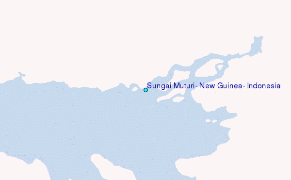
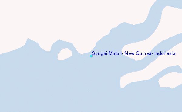
Choose Sungai Muturi, New Guinea, Indonesia Location Map Zoom:
| Contours: | Roads & Rivers: | Select a
tide station / surf break / city |
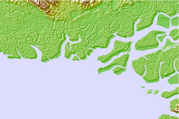
Use this relief map to navigate to tide stations, surf breaks and cities that are in the area of Sungai Muturi, New Guinea, Indonesia.
Other Nearby Locations' tide tables and tide charts to Sungai Muturi, New Guinea, Indonesia:
click location name for more details
 Surf breaks close to Sungai Muturi, New Guinea, Indonesia:
|
||
|---|---|---|
| Closest surf break | Wutung Village Reef | 509 mi |
| Second closest surf break | Lidos Left | 524 mi |
| Third closest surf break | Lidos Right | 524 mi |
| Fourth closest surf break | Logs | 529 mi |
| Fifth closest surf break | Vanimo Reef | 530 mi |


 Nearest
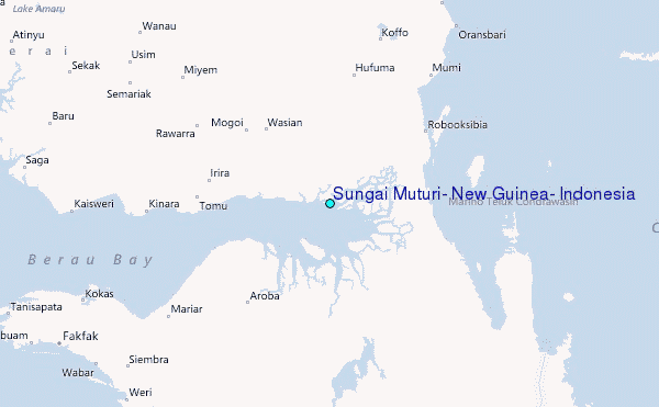