
| Distance / Altitude | Location | Report Date / Time | Live Weather | Wind | Gusts | Temp. | Visibility | Cloud |
|---|---|---|---|---|---|---|---|---|
| 35 km S / 27 m | Kuching (Malaysia) | 2025-12-24 05:00 local (2025/12/23 21:00 GMT) | Mist | calm (4 km/h at 110) | 25°C | 3.0 km | mostly cloudy | |
| 37 km S / 218 m | Kuching Airport (Malaysia) | 2025-12-24 06:30 local (2025/12/23 22:30 GMT) | - | calm (0 km/h at 0) | 24°C | 8.0 | few | |
| 41 km S / 34 m | Kampong Kangka wx (Malaysia) | 2025-12-24 06:34 local (2025/12/23 22:34 GMT) | - | - (- km/h at ) | 27°C | - | - - 0 | |
| 52 km NW / 0 m | lightning 72km N of Kuching (Malaysia) | 2025-12-24 05:02 local (2025/12/23 21:02 GMT) | Thunderstorm | (- km/h at -) | — | |||
| 118 km ESE / 214 m | Simanggang Airport (Malaysia) | 2025-12-24 06:00 local (2025/12/23 22:00 GMT) | - | calm (0 km/h at 0) | 24°C | |||
| 159 km ENE / 215 m | Sibu Airport (Malaysia) | 2025-12-24 06:00 local (2025/12/23 22:00 GMT) | Light rain | wind obs. (6 kph from 110 degs) was rejected (- km/h at -) | 25°C | 10.0 | few scattered | |
| 243 km S / 77 m | Pontianak/Supadio Airport (Indonesia) | 2025-12-24 06:30 local (2025/12/23 22:30 GMT) | Dry and partly cloudy | calm (0 km/h at 0) | 25°C | 6.0 | scattered | |
| 275 km NE / 0 m | lightning 105km WNW of Bintulu (Malaysia) | 2025-12-24 04:36 local (2025/12/23 20:36 GMT) | Thunderstorm | (- km/h at -) | — | |||
| 323 km ENE / 215 m | Bintulu Airport (Malaysia) | 2025-12-24 06:00 local (2025/12/23 22:00 GMT) | Dry and partly cloudy | wind obs. (6 kph from 120 degs) was rejected (- km/h at -) | 24°C | 10.0 | scattered | |
| 335 km WNW / 2 m | Ranai (Indonesia) | 2025-12-24 05:00 local (2025/12/23 21:00 GMT) | - | calm (4 km/h at 350) | 25°C | 28 km | mostly cloudy |
| Contours: | Roads & Rivers: | Select a
tide station / surf break / city |
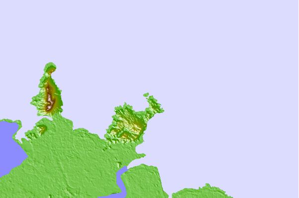
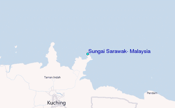
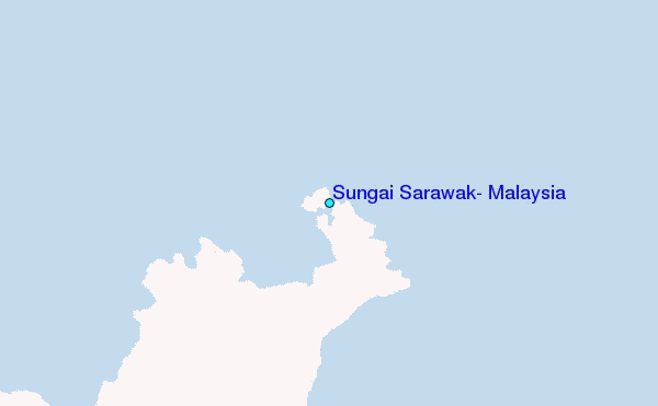
Use this relief map to navigate to tide stations, surf breaks and cities that are in the area of Sungai Sarawak, Malaysia.
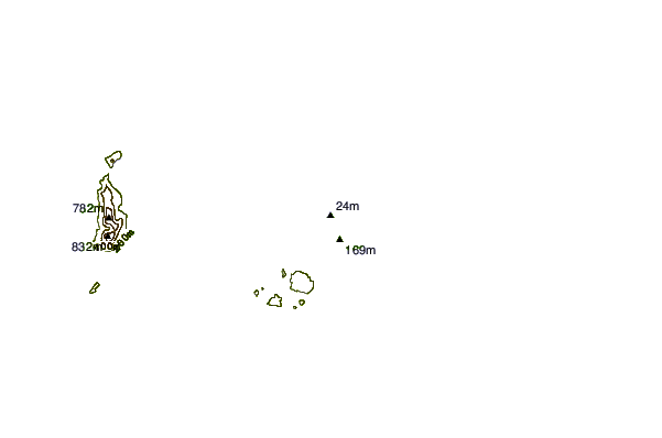
Other Nearby Locations' tide tables and tide charts to Sungai Sarawak, Malaysia:
click location name for more details
 Surf breaks close to Sungai Sarawak, Malaysia:
|
||
|---|---|---|
| Closest surf break | Tungku Beach or KM26 | 375 mi |
| Second closest surf break | Berakas Beach | 378 mi |
| Third closest surf break | Tanjung Batu | 388 mi |
| Fourth closest surf break | Tioman Island | 440 mi |
| Fifth closest surf break | Pulau Manukan | 479 mi |


 Nearest
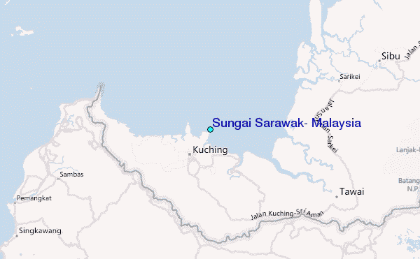