
| Distance / Altitude | Location | Report Date / Time | Live Weather | Wind | Gusts | Temp. | Visibility | Cloud |
|---|---|---|---|---|---|---|---|---|
| 85 km SE / 15 m | SHIP7121 (Marine) | 2026-04-26 22:00 local (2026/04/26 13:00 GMT) | calm (3.6 km/h at 210) | 10°C | - km | |||
| 85 km SE / 3 m | West of Deokjeokdo Island- South Korea (Marine) | 2026-04-26 23:00 local (2026/04/26 14:00 GMT) | calm (4 km/h at 170) | 11°C | - | |||
| 127 km E / 21 m | Munsan Rws Airport (South Korea) | 2026-04-26 22:40 local (2026/04/26 13:40 GMT) | Clear | calm (4 km/h at 150) | 12°C | 10.0 | ||
| 130 km E / 217 m | Seoul/Kimpo International Airport (Korea) | 2026-04-26 22:00 local (2026/04/26 13:00 GMT) | - | calm (2 km/h at 350) | — | 0.0 | ||
| 145 km E / 95 m | Gwangjeok Airport (South Korea) | 2026-04-26 22:40 local (2026/04/26 13:40 GMT) | Clear | calm (2 km/h at 360) | 14°C | 10.0 | ||
| 130 km E / 217 m | Seoul/Kimpo International Airport (Korea) | 2026-04-26 22:00 local (2026/04/26 13:00 GMT) | - | calm (2 km/h at 350) | — | 0.0 | ||
| 146 km E / 95 m | Gwangjeok Airport (South Korea) | 2026-04-26 22:40 local (2026/04/26 13:40 GMT) | Clear | calm (2 km/h at 360) | 14°C | 10.0 | ||
| 160 km E / 218 m | Chajang Airport (Korea) | 2026-04-26 22:30 local (2026/04/26 13:30 GMT) | - | light winds from the NW.(Wind varies from 290 to 350 degs) (9 km/h at 320) | — | 0.0 | ||
| 162 km ESE / 247 m | Seoul East Airport (Korea) | 2026-04-26 22:00 local (2026/04/26 13:00 GMT) | Dry and partly cloudy | calm (2 km/h at 350) | 14°C | 10.0 | scattered | |
| 167 km ESE / 217 m | Osan Airport (Korea) | 2026-04-26 21:55 local (2026/04/26 12:55 GMT) | Clear | light winds from the W (6 km/h at 260) | 14°C | 16 |
| Contours: | Roads & Rivers: | Select a
tide station / surf break / city |
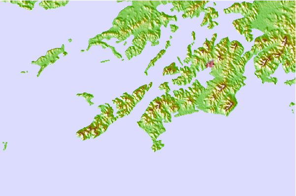
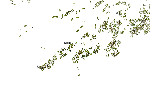
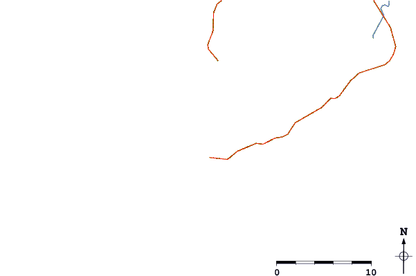
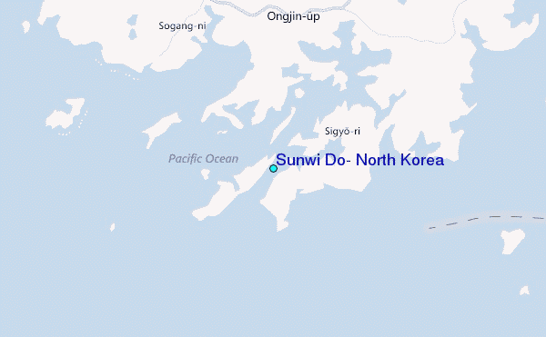
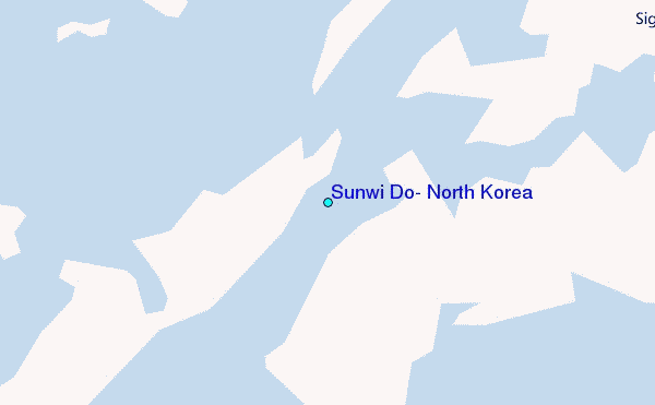
Use this relief map to navigate to tide stations, surf breaks and cities that are in the area of Sunwi Do, North Korea.
Other Nearby Locations' tide tables and tide charts to Sunwi Do, North Korea:
click location name for more details
 Surf breaks close to Sunwi Do, North Korea:
|
||
|---|---|---|
| Closest surf break | Songdojin ni | 175 mi |
| Second closest surf break | 38 Line | 186 mi |
| Third closest surf break | Ingu Beach | 187 mi |
| Fourth closest surf break | Jumunjin | 191 mi |
| Fifth closest surf break | Gyongpo Beach | 195 mi |


 Nearest
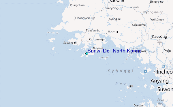