
| Distance / Altitude | Location | Report Date / Time | Live Weather | Wind | Gusts | Temp. | Visibility | Cloud |
|---|---|---|---|---|---|---|---|---|
| 150 km SSE / 34 m | Lima Jorge Chávez International Airport (Peru) | 2025-12-17 05:00 local (2025/12/17 10:00 GMT) | - | light winds from the W (6 km/h at 260) | — | 0.0 | ||
| 163 km N / 3079 m | Huaraz Anta/Comandante FAP Germán Arias Graziani Airport (Peru) | 2025-12-17 06:00 local (2025/12/17 11:00 GMT) | - | calm (4 km/h at 250) | — | 10.0 | scattered broken - | |
| 268 km ESE / 3812 m | Jauja Airport (Peru) | 2025-12-17 05:00 local (2025/12/17 10:00 GMT) | Dry and partly cloudy | wind obs. (6 kph from 300 degs) was rejected (- km/h at -) | 9°C | 10.0 | few broken | |
| 333 km NW / 215 m | Trujillo Airport (Peru) | 2025-12-17 05:00 local (2025/12/17 10:00 GMT) | Mist - | wind obs. (9 kph from 140 degs) was rejected (- km/h at -) | 18°C | 5.0 | scattered | |
| 337 km NW / 30 m | Trujillo(84501-0) (Peru) | 2025-12-17 04:00 local (2025/12/17 09:00 GMT) | Mist | wind obs. (9 kph from 140 degs) was rejected (- km/h at -) | 19°C | 5.0 km | few | |
| 363 km SSE / 7 m | Pisco (Peru) | 2025-12-17 05:00 local (2025/12/17 10:00 GMT) | State of sky unchanged | light winds from the S (7 km/h at 170) | — | 0.0 | - clear - | |
| 416 km NW / 2934 m | Cajamarca/Major General FAP Armando Revoredo Iglesias Airport (Peru) | 2025-12-17 05:00 local (2025/12/17 10:00 GMT) | - | calm (4 km/h at 110) | — | 6.0 | scattered broken - | |
| 434 km NE / 22 m | Pucallpa Airport (Peru) | 2025-12-17 05:00 local (2025/12/17 10:00 GMT) | Fog patches - | calm (4 km/h at 1) | 24°C | 9.0 | broken broken | |
| 439 km NE / 149 m | Pucallpa (Peru) | 2025-12-17 04:00 local (2025/12/17 09:00 GMT) | Patches of shallow fog | calm (2 km/h at 990) | 24°C | 30 km | overcast | |
| 460 km SE / 2747 m | Ayacucho/Coronel FAP Alfredo Mendívil Duarte Airport (Peru) | 2025-12-17 05:00 local (2025/12/17 10:00 GMT) | Light rain | calm (2 km/h at 210) | 15°C | 10.0 | overcast |
| Contours: | Roads & Rivers: | Select a
tide station / surf break / city |
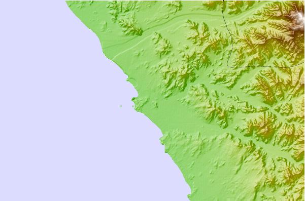
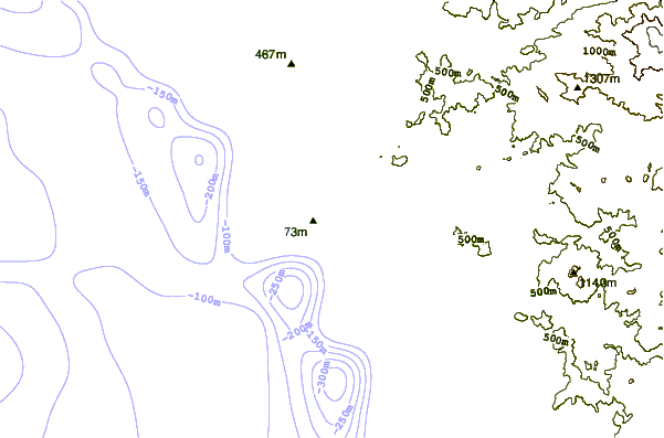
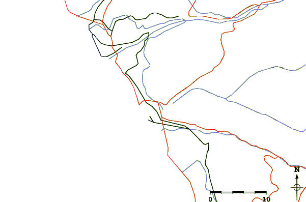
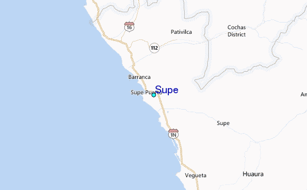
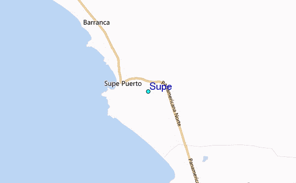
Use this relief map to navigate to tide stations, surf breaks and cities that are in the area of Supe.
Other Nearby Locations' tide tables and tide charts to Supe:
click location name for more details
 Surf breaks close to Supe:
|
||
|---|---|---|
| Closest surf break | Bermejo | 21 mi |
| Second closest surf break | Paraiso | 29 mi |
| Third closest surf break | Polvorin | 29 mi |
| Fourth closest surf break | Punta Gaviotas | 34 mi |
| Fifth closest surf break | Salinas | 34 mi |


 Nearest
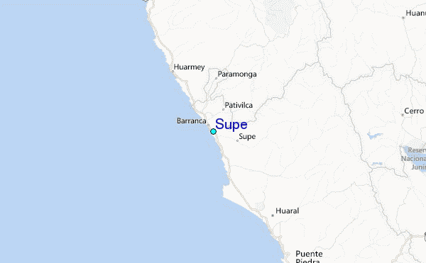