
| Distance / Altitude | Location | Report Date / Time | Live Weather | Wind | Gusts | Temp. | Visibility | Cloud |
|---|---|---|---|---|---|---|---|---|
| 21 km SSE / 10 m | Paramaribo Airport (Suriname) | 2024-04-26 19:00 local (2024/04/26 22:00 GMT) | Haze | calm (4 km/h at 20) | 28°C | 30 km | scattered mostly cloudy - | |
| 61 km S / 15 m | Zanderij (Suriname) | 2024-04-26 18:00 local (2024/04/26 21:00 GMT) | Haze | light winds from the E (11 km/h at 100) | 28°C | 30 km | scattered | |
| 61 km S / 469 m | Johan A. Pengel Airport (Suriname) | 2024-04-26 19:00 local (2024/04/26 22:00 GMT) | Dry and partly cloudy | light winds from the ENE (7 km/h at 60) | 27°C | 10.0 | few scattered | |
| 145 km ESE / 5 m | Saint -Laurent (France) | 2024-04-26 19:00 local (2024/04/26 22:00 GMT) | no report | calm (4 km/h at 50) | 26°C | - | - | |
| 199 km WSW / 66 m | Nickerie (Surinam) | 2024-04-26 18:00 local (2024/04/26 21:00 GMT) | - | light winds from the ENE (15 km/h at 60) | 29°C | 40 km | scattered |
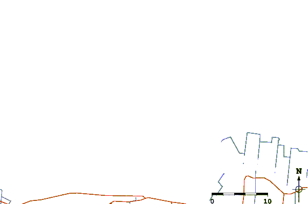
| Contours: | Roads & Rivers: | Select a
tide station / surf break / city |
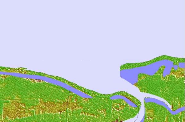

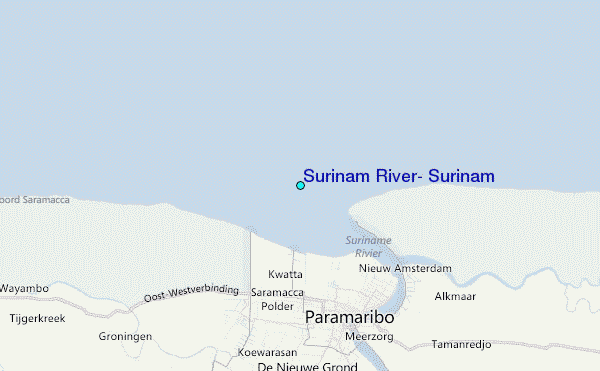
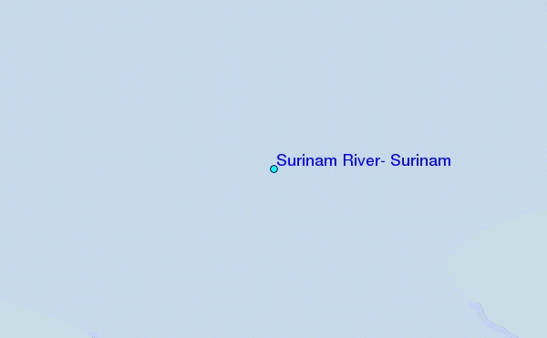
Use this relief map to navigate to tide stations, surf breaks and cities that are in the area of Surinam River, Surinam.
Other Nearby Locations' tide tables and tide charts to Surinam River, Surinam:
click location name for more details
 Surf breaks close to Surinam River, Surinam:
|
||
|---|---|---|
| Closest surf break | Saint Joseph (Iles du Salut) | 189 mi |
| Second closest surf break | Ilet du Novotel | 214 mi |
| Third closest surf break | Anse de Rémire (L'apcat) | 219 mi |
| Fourth closest surf break | Mahury | 219 mi |
| Fifth closest surf break | La Mère | 224 mi |

 Nearest
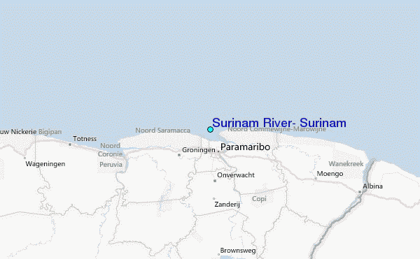