
| Distance / Altitude | Location | Report Date / Time | Live Weather | Wind | Gusts | Temp. | Visibility | Cloud |
|---|---|---|---|---|---|---|---|---|
| 6 km SE / 3 m | BUOY-RIXA2 (Marine) | 2025-12-24 11:32 local (2025/12/24 20:32 GMT) | severe gales from the N (84 km/h at 360) | -4°C | - | |||
| 12 km ENE / 3 m | BUOY-NKXA2 (Marine) | 2025-12-24 11:32 local (2025/12/24 20:32 GMT) | strong winds from the NE (42 km/h at 40) | -5°C | - | |||
| 23 km SSW / 213 m | Hoonah Airport (Alaska) | 2025-12-24 09:56 local (2025/12/24 18:56 GMT) | Clear | calm (0 km/h at 0) | -11°C | 16 | ||
| 24 km NNE / 3 m | BUOY-PRTA2 (Marine) | 2025-12-24 11:10 local (2025/12/24 20:10 GMT) | strong winds from the N (42 km/h at 350) | -6°C | - | |||
| 27 km ENE / 3 m | BUOY-PTLA2 (Marine) | 2025-12-24 11:32 local (2025/12/24 20:32 GMT) | light winds from the N (15 km/h at 360) | -4°C | - | |||
| 28 km E / 3 m | BUOY-SCXA2 (Marine) | 2025-12-24 11:32 local (2025/12/24 20:32 GMT) | light winds from the NNE (9 km/h at 30) | -4°C | - | |||
| 31 km E / 15 m | SHIP3550 (Marine) | 2025-12-24 09:00 local (2025/12/24 18:00 GMT) | light winds from the ENE (7.5600000000000005 km/h at 60) | — | - km | |||
| 33 km NE / 28 m | Auke Bay wx (United States) | 2025-12-24 11:26 local (2025/12/24 20:26 GMT) | - | calm (0 km/h at 0) | -11°C | - | - - 0 | |
| 34 km ENE / 3 m | BUOY-ABYA2 (Marine) | 2025-12-24 10:52 local (2025/12/24 19:52 GMT) | calm (4 km/h at 50) | -14°C | - | |||
| 34 km ENE / 3 m | BUOY-SRXA2 (Marine) | 2025-12-24 11:32 local (2025/12/24 20:32 GMT) | light winds from the N (13 km/h at 360) | -10°C | - |
| Contours: | Roads & Rivers: | Select a
tide station / surf break / city |
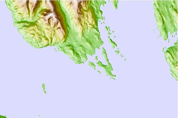
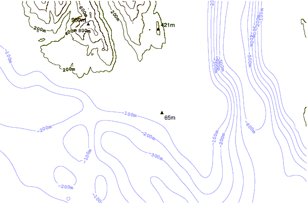
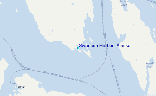
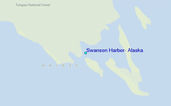
Use this relief map to navigate to tide stations, surf breaks and cities that are in the area of Swanson Harbor, Alaska.
Other Nearby Locations' tide tables and tide charts to Swanson Harbor, Alaska:
click location name for more details
 Surf breaks close to Swanson Harbor, Alaska:
|
||
|---|---|---|
| Closest surf break | Cannon Beach | 188 mi |
| Second closest surf break | Graveyards | 191 mi |
| Third closest surf break | Ocean Cape | 192 mi |
| Fourth closest surf break | Lepus Beach (Haida-Gwaii) | 291 mi |
| Fifth closest surf break | Tow Hill Beach | 314 mi |


 Nearest
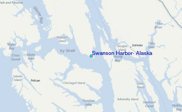