
| Distance / Altitude | Location | Report Date / Time | Live Weather | Wind | Gusts | Temp. | Visibility | Cloud |
|---|---|---|---|---|---|---|---|---|
| 18 km ESE / 3 m | BUOY-JCRN4 (Marine) | 2026-03-20 19:30 local (2026/03/20 23:30 GMT) | moderate winds from the SSE (28 km/h at 160) | 9°C | - | |||
| 18 km SSE / 217 m | Atlantic City Airport (New Jersey) | 2026-03-20 19:54 local (2026/03/20 23:54 GMT) | Dry and cloudy | moderate winds from the S (24 km/h at 190) | 10°C | 16 | broken overcast | |
| 35 km SSE / 3 m | BUOY-ACYN4 (Marine) | 2026-03-20 20:48 local (2026/03/21 00:48 GMT) | - (- km/h at -) | — | - | |||
| 44 km N / 218 m | Wrightst/Mcguire Airport (New Jersey) | 2026-03-20 19:55 local (2026/03/20 23:55 GMT) | Dry and partly cloudy | light winds from the SSW (15 km/h at 200) | 12°C | 16 | broken | |
| 47 km WNW / 12 m | Haddon Township (New Jersey) | 2026-03-20 20:40 local (2026/03/21 00:40 GMT) | dry | calm (0 km/h at 162) | 12°C | - | - - 0 | |
| 48 km W / 14 m | Woodbury Heights wx (United States) | 2026-03-20 20:19 local (2026/03/21 00:19 GMT) | dry | calm (0 km/h at 19) | 14°C | - | - - 0 | |
| 49 km WNW / 20 m | Cinnaminson (New Jersey) | 2026-03-20 21:15 local (2026/03/21 01:15 GMT) | dry | calm (0 km/h at 121) | 11°C | - | - - 0 | |
| 51 km WNW / 27 m | Parry wx (United States) | 2026-03-20 20:28 local (2026/03/21 00:28 GMT) | dry | calm (0 km/h at 0) | 13°C | - | - - 0 | |
| 52 km W / 15 m | SHIP3218 (Marine) | 2026-03-20 19:00 local (2026/03/20 23:00 GMT) | - (- km/h at -) | — | - km | |||
| 52 km W / 15 m | SHIP6269 (Marine) | 2026-03-20 20:00 local (2026/03/21 00:00 GMT) | - (- km/h at -) | — | - km |
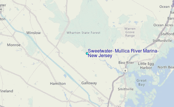
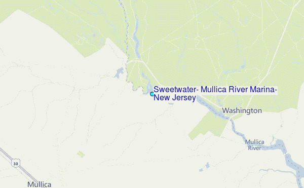
Choose Sweetwater, Mullica River Marina, New Jersey Location Map Zoom:
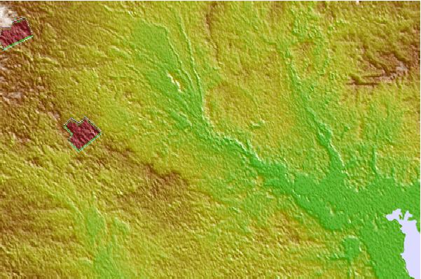
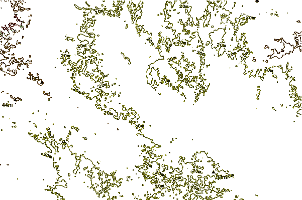
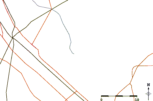
| Contours: | Roads & Rivers: | Select a
tide station / surf break / city |
Use this relief map to navigate to tide stations, surf breaks and cities that are in the area of Sweetwater, Mullica River Marina, New Jersey.
Other Nearby Locations' tide tables and tide charts to Sweetwater, Mullica River Marina, New Jersey:
click location name for more details
 Surf breaks close to Sweetwater, Mullica River Marina, New Jersey:
|
||
|---|---|---|
| Closest surf break | Castles | 21 mi |
| Second closest surf break | Hollyoake | 21 mi |
| Third closest surf break | Kirbys Point | 21 mi |
| Fourth closest surf break | The Castle | 21 mi |
| Fifth closest surf break | The South Jetty | 21 mi |


 Nearest
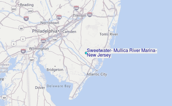