
| Distance / Altitude | Location | Report Date / Time | Live Weather | Wind | Gusts | Temp. | Visibility | Cloud |
|---|---|---|---|---|---|---|---|---|
| 4 km NNE / 15 m | SHIP8158 (Marine) | 2026-03-01 16:00 local (2026/03/02 00:00 GMT) | - (- km/h at -) | — | - km | |||
| 4 km ESE / 3 m | BUOY-PBFW1 (Marine) | 2026-03-01 16:30 local (2026/03/02 00:30 GMT) | light winds from the NNW (15 km/h at 340) | 9°C | - | |||
| 7 km E / 219 m | Skagit Burlington/Mt Vernon Airport (Washington) | 2026-03-01 16:35 local (2026/03/02 00:35 GMT) | Clear | light winds from the NW (19 km/h at 320) | 9°C | 16 | ||
| 4 km NNE / 15 m | SHIP3111 (Marine) | 2026-03-01 15:00 local (2026/03/01 23:00 GMT) | - (- km/h at -) | — | - km | |||
| 4 km NNE / 3 m | SHIP7378 (Marine) | 2026-03-01 15:00 local (2026/03/01 23:00 GMT) | - (- km/h at -) | 23°C | - | |||
| 4 km NNE / 3 m | SHIP4001 (Marine) | 2026-03-01 15:00 local (2026/03/01 23:00 GMT) | - (- km/h at -) | 21°C | - | |||
| 4 km NNE / 15 m | SHIP4342 (Marine) | 2026-03-01 15:00 local (2026/03/01 23:00 GMT) | - (- km/h at -) | — | - km | |||
| 4 km NNE / 15 m | SHIP8688 (Marine) | 2026-03-01 15:00 local (2026/03/01 23:00 GMT) | - (- km/h at -) | — | - km | |||
| 4 km NNE / 3 m | SHIP8327 (Marine) | 2026-03-01 15:00 local (2026/03/01 23:00 GMT) | - (- km/h at -) | 21°C | - | |||
| 4 km NNE / 3 m | SHIP4569 (Marine) | 2026-03-01 15:00 local (2026/03/01 23:00 GMT) | - (- km/h at -) | 23°C | - |
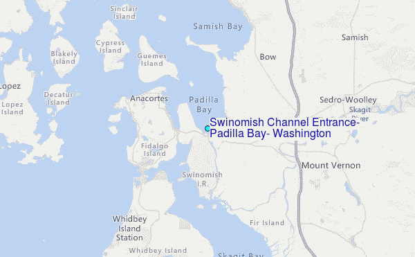
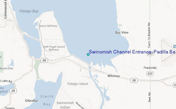
Choose Swinomish Channel Entrance, Padilla Bay, Washington Location Map Zoom:
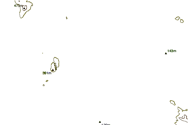
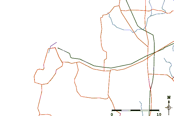
| Contours: | Roads & Rivers: | Select a
tide station / surf break / city |
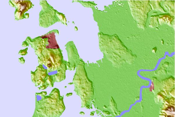
Use this relief map to navigate to tide stations, surf breaks and cities that are in the area of Swinomish Channel Entrance, Padilla Bay, Washington.
Other Nearby Locations' tide tables and tide charts to Swinomish Channel Entrance, Padilla Bay, Washington:
click location name for more details
 Surf breaks close to Swinomish Channel Entrance, Padilla Bay, Washington:
|
||
|---|---|---|
| Closest surf break | Fort. Ebey | 21 mi |
| Second closest surf break | Super green | 43 mi |
| Third closest surf break | Elwha | 53 mi |
| Fourth closest surf break | Crescent | 59 mi |
| Fifth closest surf break | Whiskey Creek | 62 mi |


 Nearest
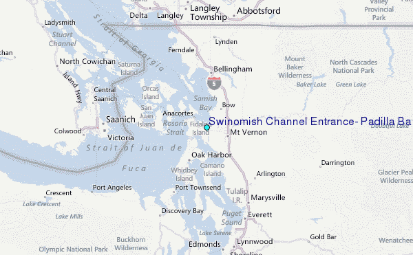