
| Distance / Altitude | Location | Report Date / Time | Live Weather | Wind | Gusts | Temp. | Visibility | Cloud |
|---|---|---|---|---|---|---|---|---|
| 63 km ENE / 215 m | Mekoryuk Airport (Alaska) | 2026-06-19 17:30 local (2026/06/20 01:30 GMT) | Light rain | light winds from the WNW (13 km/h at 290) | 8°C | 5 | overcast | |
| 128 km ENE / 18 m | Toksook Bay Airport (Alaska) | 2026-06-19 17:37 local (2026/06/20 01:37 GMT) | Light rain | light winds from the N (13 km/h at 350) | 12°C | 14 | few scattered overcast | |
| 174 km NNE / 400 m | Hooper Bay Airport (Alaska) | 2026-06-19 16:56 local (2026/06/20 00:56 GMT) | Dry and cloudy | light winds from the W (7 km/h at 270) | — | 16 | overcast | |
| 180 km E / 213 m | Kipnuk Airport (AK) (United States) | 2026-06-19 16:56 local (2026/06/20 00:56 GMT) | Dry and cloudy | light winds from the W (17 km/h at 280) | 13°C | 16 | few overcast | |
| 186 km NNE / 23 m | Chevak Airport (Alaska) | 2026-06-19 16:56 local (2026/06/20 00:56 GMT) | Dry and cloudy | light winds from the E (7 km/h at 100) | 14°C | 16 | few overcast | |
| 202 km NNE / 581 m | Cape Romanzof Airport (Alaska) | 2026-06-19 16:55 local (2026/06/20 00:55 GMT) | Dry and partly cloudy | calm (0 km/h at 0) | 11°C | 16 | broken broken | |
| 218 km NNE / 4 m | Scammon Bay Airport (Alaska) | 2026-06-19 16:56 local (2026/06/20 00:56 GMT) | Dry and cloudy | wind obs. (7 kph from 310 degs) was rejected (- km/h at -) | 13°C | 16 | scattered broken overcast | |
| 297 km NE / 103 m | Mountain Village Airport (Alaska) | 2026-06-19 16:56 local (2026/06/20 00:56 GMT) | Dry and cloudy | light winds from the N (9 km/h at 1) | 15°C | 16 | few overcast | |
| 303 km E / 13 m | Quinhagak (AK) (Alaska) | 2026-06-19 16:56 local (2026/06/20 00:56 GMT) | - | light winds from the WSW (19 km/h at 240) | 15°C | 16 | few | |
| 308 km NE / 217 m | Saint Marys Airport (Alaska) | 2026-06-19 16:56 local (2026/06/20 00:56 GMT) | Dry and cloudy | light winds from the N (7 km/h at 1) | 17°C | 16 | broken overcast |
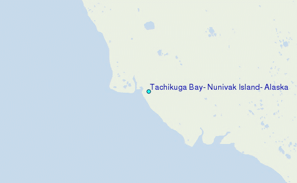
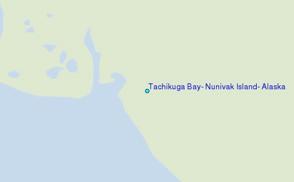
Choose Tachikuga Bay, Nunivak Island, Alaska Location Map Zoom:
| Contours: | Roads & Rivers: | Select a
tide station / surf break / city |
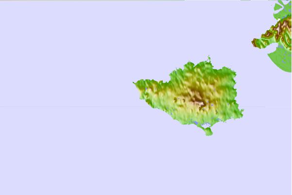
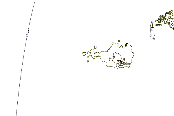
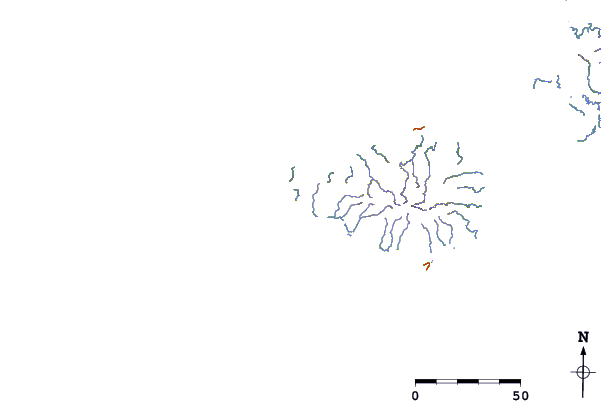
Use this relief map to navigate to tide stations, surf breaks and cities that are in the area of Tachikuga Bay, Nunivak Island, Alaska.
Other Nearby Locations' tide tables and tide charts to Tachikuga Bay, Nunivak Island, Alaska:
click location name for more details
 Surf breaks close to Tachikuga Bay, Nunivak Island, Alaska:
|
||
|---|---|---|
| Closest surf break | Bird Point (Tidal Bore) | 542 mi |
| Second closest surf break | Monashka Bay | 549 mi |
| Third closest surf break | Termination Point | 549 mi |
| Fourth closest surf break | Mill Bay | 551 mi |
| Fifth closest surf break | Fossil Beach Kodiak | 562 mi |


 Nearest
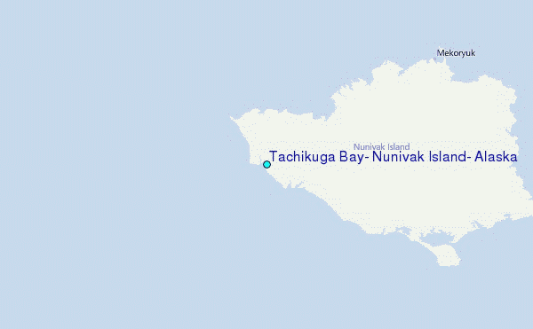