
| Distance / Altitude | Location | Report Date / Time | Live Weather | Wind | Gusts | Temp. | Visibility | Cloud |
|---|---|---|---|---|---|---|---|---|
| 4 km ESE / 27 m | Parry wx (United States) | 2025-12-25 03:16 local (2025/12/25 08:16 GMT) | - | calm (0 km/h at 0) | 2°C | - | - - 0 | |
| 4 km NNE / 19 m | Philadelphia (Pennsylvania) | 2025-12-25 01:42 local (2025/12/25 06:42 GMT) | dry | calm (0 km/h at 186) | 3°C | - | - - 0 | |
| 5 km SSW / 3 m | BUOY-BDSP1 (Marine) | 2025-12-25 02:48 local (2025/12/25 07:48 GMT) | - (- km/h at -) | — | - | |||
| 6 km SE / 20 m | Cinnaminson (New Jersey) | 2025-12-25 02:45 local (2025/12/25 07:45 GMT) | - | calm (0 km/h at 235) | 2°C | - | - - 0 | |
| 8 km NNE / 217 m | Philadelphia/ne Airport (Pennsylvania) | 2025-12-25 01:54 local (2025/12/25 06:54 GMT) | Dry and cloudy | calm (0 km/h at 0) | 2°C | 16 | overcast | |
| 11 km S / 12 m | Haddon Township (New Jersey) | 2025-12-25 02:21 local (2025/12/25 07:21 GMT) | dry | calm (0 km/h at 163) | 3°C | - | - - 0 | |
| 12 km SSW / 3 m | BUOY-PHBP1 (Marine) | 2025-12-25 02:48 local (2025/12/25 07:48 GMT) | - (- km/h at -) | — | - | |||
| 12 km SSW / 5 m | Philadelphia (Pennsylvania) | 2025-12-25 02:36 local (2025/12/25 07:36 GMT) | dry | calm (2 km/h at 130) | 3°C | - | - - 0 | |
| 15 km WNW / 94.8 m | Glenside (Pennsylvania) | 2025-12-25 02:22 local (2025/12/25 07:22 GMT) | - | calm (0 km/h at 248) | 2°C | - | - - 0 | |
| 15 km NW / 77 m | Willow Grove wx (United States) | 2025-12-25 02:46 local (2025/12/25 07:46 GMT) | - | wind obs. (6 kph from 115 degs) was rejected (- km/h at -) | 2°C | - | - - 0 |
| Contours: | Roads & Rivers: | Select a
tide station / surf break / city |
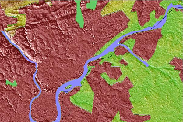
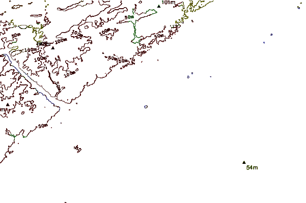
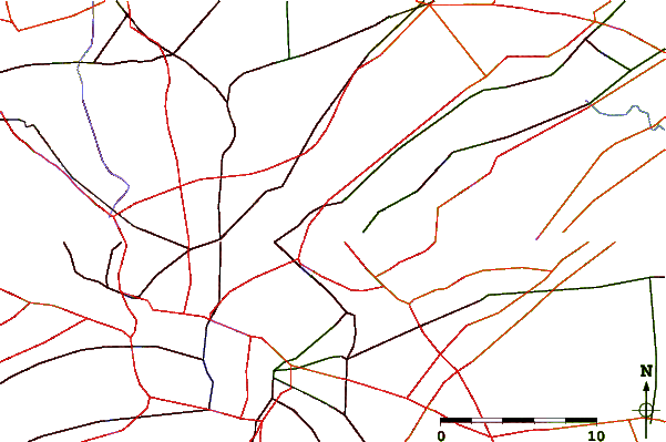
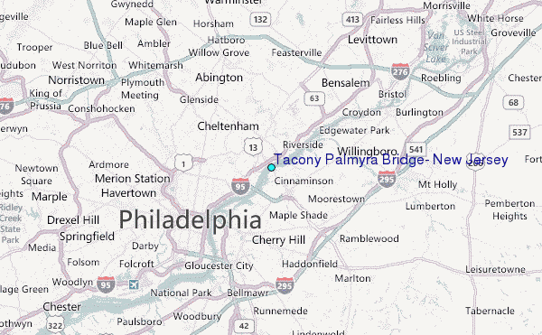
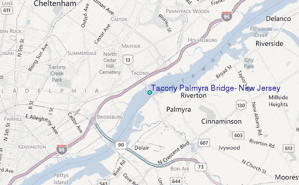
Use this relief map to navigate to tide stations, surf breaks and cities that are in the area of Tacony Palmyra Bridge, New Jersey.
Other Nearby Locations' tide tables and tide charts to Tacony Palmyra Bridge, New Jersey:
click location name for more details
 Surf breaks close to Tacony Palmyra Bridge, New Jersey:
|
||
|---|---|---|
| Closest surf break | Lavallette | 52 mi |
| Second closest surf break | Meters | 52 mi |
| Third closest surf break | Seaside Heights/Casino Pier | 52 mi |
| Fourth closest surf break | Seaside Park | 52 mi |
| Fifth closest surf break | Brick Beach | 52 mi |


 Nearest
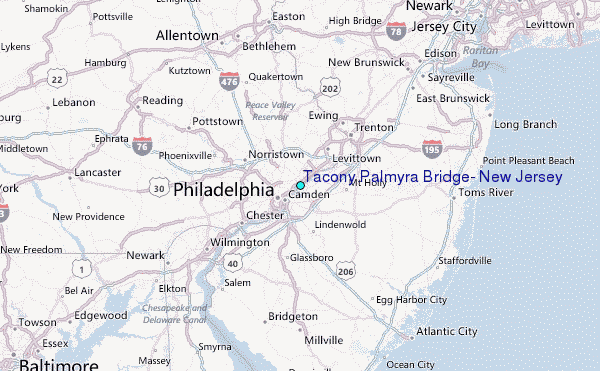