
| Distance / Altitude | Location | Report Date / Time | Live Weather | Wind | Gusts | Temp. | Visibility | Cloud |
|---|---|---|---|---|---|---|---|---|
| 152 km SE / 53 m | Hiva-OA (French Polynesia) | 2024-04-25 17:30 local (2024/04/26 03:00 GMT) | no report | light winds from the NNE (7 km/h at 30) | 29°C | 20 | - no observation - | |
| 815 km SSW / 3 m | Takaroa (French Polynesia) | 2024-04-25 16:30 local (2024/04/26 02:00 GMT) | no report | - (- km/h at -) | 29°C | - | - | |
| 1020 km S / 5 m | Hao (French Polynesia) | 2024-04-25 17:30 local (2024/04/26 03:00 GMT) | no report | light winds from the ENE (14 km/h at 70) | 28°C | 11 | - no observation - | |
| 1105 km S / 0 m | Anaa (French Polynesia) | 2024-04-25 16:30 local (2024/04/26 02:00 GMT) | no report | light winds from the ESE (18 km/h at 110) | 29°C | - | - | |
| 1263 km SW / - m | SHIP12023 (ocean) | 2024-04-25 15:30 local (2024/04/26 01:00 GMT) | No report | fresh winds from the E (31 km/h at 80) | 28°C | >50 km | scattered |
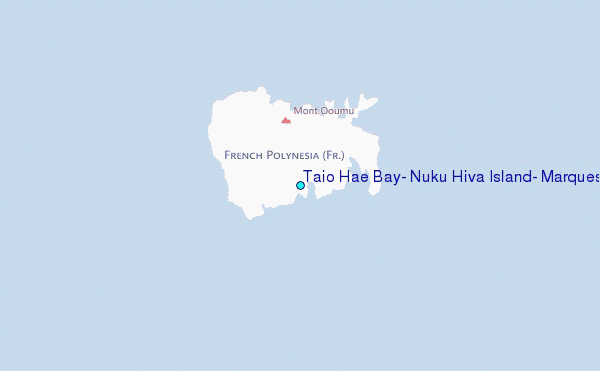
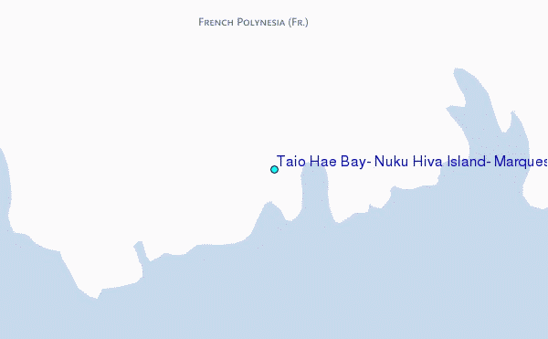
Choose Taio Hae Bay, Nuku Hiva Island, Marquesas Location Map Zoom:
| Contours: | Roads & Rivers: | Select a
tide station / surf break / city |
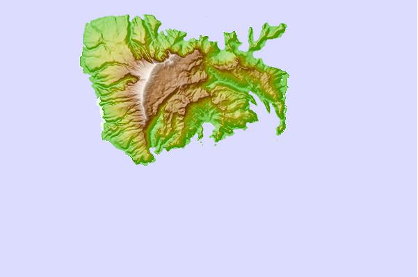
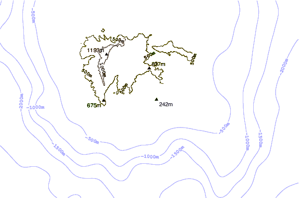
Use this relief map to navigate to tide stations, surf breaks and cities that are in the area of Taio Hae Bay, Nuku Hiva Island, Marquesas.
Other Nearby Locations' tide tables and tide charts to Taio Hae Bay, Nuku Hiva Island, Marquesas:
click location name for more details
 Surf breaks close to Taio Hae Bay, Nuku Hiva Island, Marquesas:
|
||
|---|---|---|
| Closest surf break | Ins and Outs | 860 mi |
| Second closest surf break | Papenoo Rivermouth (L'Embouchure) | 861 mi |
| Third closest surf break | Papenoo Beach (Chinaman's Bay) | 862 mi |
| Fourth closest surf break | Rocky Point | 863 mi |
| Fifth closest surf break | Orofara Beach | 863 mi |

 Nearest
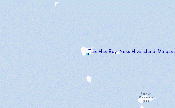