
| Distance / Altitude | Location | Report Date / Time | Live Weather | Wind | Gusts | Temp. | Visibility | Cloud |
|---|---|---|---|---|---|---|---|---|
| 154 km NNE / 10 m | Opol (PI) | 2026-05-07 22:29 local (2026/05/07 14:29 GMT) | dry | calm (2 km/h at 90) | 27°C | - | - - 0 | |
| 158 km E / 293 m | Davao/Francisco Bangoy International Airport (Philippines) | 2026-05-07 22:00 local (2026/05/07 14:00 GMT) | Shower light rain shower | wind obs. (7 kph from 220 degs) was rejected (- km/h at -) | 27°C | 9.0 | few overcast | |
| 158 km E / 293 m | Davao/Francisco Bangoy International Airport (Philippines) | 2026-05-07 21:00 local (2026/05/07 13:00 GMT) | Dry and partly cloudy | light winds from the S (7 km/h at 180) | 29°C | 10.0 | few broken | |
| 178 km WNW / 41 m | thunderstorm affecting Seres (Philippines) | 2026-05-07 22:45 local (2026/05/07 14:45 GMT) | Thunderstorm | (- km/h at -) | — | |||
| 209 km S / 15 m | ASCATC124E5N (Marine) | 2026-05-07 20:37 local (2026/05/07 12:37 GMT) | calm (5 km/h at 141) | — | - km | |||
| 231 km S / 15 m | ASCATC125E5N (Marine) | 2026-05-07 20:37 local (2026/05/07 12:37 GMT) | calm (4 km/h at 346) | — | - km | |||
| 240 km WSW / 417 m | Zamboanga Airport (Philippines) | 2026-05-07 23:00 local (2026/05/07 15:00 GMT) | Dry and partly cloudy | light winds from the ENE.(Wind varies from 020 to 090 degs) (6 km/h at 60) | 27°C | 10.0 | few scattered | |
| 259 km NW / 8 m | Dumaguete (Philippines) | 2026-05-07 22:00 local (2026/05/07 14:00 GMT) | Dry and partly cloudy | light winds from the N (11 km/h at 360) | 29°C | 10.0 | few broken | |
| 259 km NW / 8 m | Dumaguete–Sibulan Airport (Philippines) | 2026-05-07 22:00 local (2026/05/07 14:00 GMT) | Dry and partly cloudy | light winds from the N (11 km/h at 360) | 29°C | 10.0 | few broken | |
| 265 km NE / 36 m | Del Pilar wx (Philippines) | 2026-05-07 23:05 local (2026/05/07 15:05 GMT) | dry | calm (0 km/h at 178) | 24°C | - | - - 0 |
| Contours: | Roads & Rivers: | Select a
tide station / surf break / city |
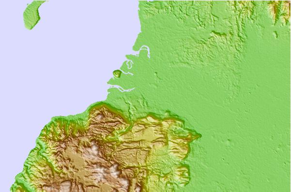
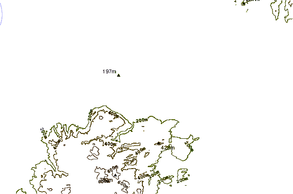
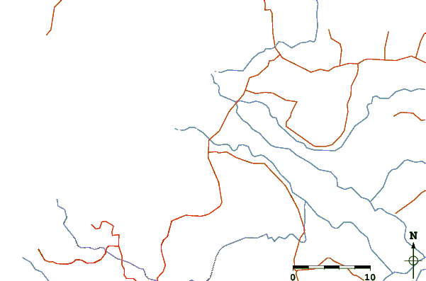
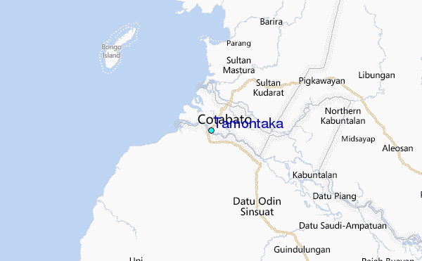
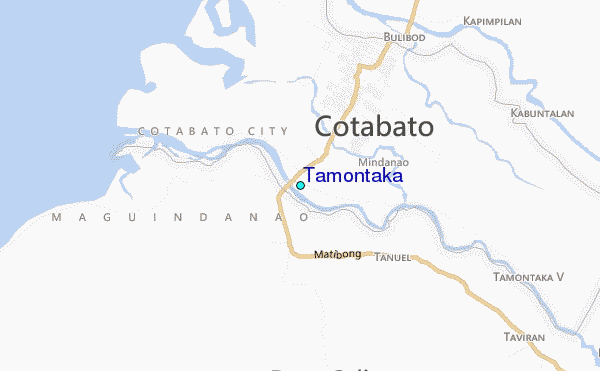
Use this relief map to navigate to tide stations, surf breaks and cities that are in the area of Tamontaka.
Other Nearby Locations' tide tables and tide charts to Tamontaka:
click location name for more details
 Surf breaks close to Tamontaka:
|
||
|---|---|---|
| Closest surf break | Marami Beach | 188 mi |
| Second closest surf break | Tago River | 188 mi |
| Third closest surf break | Lanuza Rivermouth | 190 mi |
| Fourth closest surf break | Random Beach Break | 190 mi |
| Fifth closest surf break | Big Star | 193 mi |


 Nearest
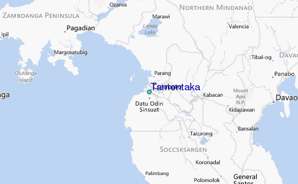