
| Distance / Altitude | Location | Report Date / Time | Live Weather | Wind | Gusts | Temp. | Visibility | Cloud |
|---|---|---|---|---|---|---|---|---|
| 125 km S / 372 m | Zanzibar/Kisauni Airport (Tanzania) | 2025-12-25 13:00 local (2025/12/25 10:00 GMT) | Dry and partly cloudy | light winds from the N (13 km/h at 350) | 31°C | 10.0 | broken | |
| 132 km NNE / 179 m | Mombasa-Moi International Airport (Kenya) | 2025-12-25 14:30 local (2025/12/25 11:30 GMT) | Dry and partly cloudy | moderate winds from the ENE (24 km/h at 70) | 33°C | 10.0 | few scattered broken | |
| 188 km WNW / 844 m | Same Airport (Tanzania) | 2025-12-25 13:00 local (2025/12/25 10:00 GMT) | - | wind obs. (37 kph from 340 degs) was rejected (- km/h at -) | 22°C | 10.0 | few few broken | |
| 197 km S / 376 m | Dar Es Salaam Airport (Tanzania) | 2025-12-25 13:00 local (2025/12/25 10:00 GMT) | Dry and partly cloudy | moderate winds from the NNE (22 km/h at 30) | 33°C | 10.0 | few scattered - | |
| 235 km NNE / 1 m | Malindi Airport (Kenya) | 2025-12-25 14:00 local (2025/12/25 11:00 GMT) | - | moderate winds from the E (24 km/h at 80) | 31°C | 10.0 | few | |
| 251 km SSW / 365 m | Morogoro (Tanzania) | 2025-12-25 13:00 local (2025/12/25 10:00 GMT) | Dry and partly cloudy | light winds from the NE (11 km/h at 50) | 32°C | 10.0 | scattered - - | |
| 292 km WNW / 410 m | Kilimanjaro Airport (Tanzania) | 2025-12-25 13:00 local (2025/12/25 10:00 GMT) | - | light winds from the ENE.(Wind varies from 010 to 170 degs) (13 km/h at 70) | 33°C | 10.0 | few | |
| 338 km WNW / 1480 m | Arusha Airport (Tanzania) | 2025-12-25 13:00 local (2025/12/25 10:00 GMT) | - | wind obs. (11 kph from 140 degs) was rejected (- km/h at -) | 28°C | 10.0 | few | |
| 366 km NNE / 6 m | Lamu Manda Island (Kenya) | 2025-12-25 13:00 local (2025/12/25 10:00 GMT) | - | calm (0 km/h at 0) | 33°C | 10.0 | few | |
| 388 km SW / 1099 m | Dodoma (Tanzania) | 2025-12-25 13:00 local (2025/12/25 10:00 GMT) | Dry and partly cloudy | wind obs. (9 kph from 290 degs) was rejected (- km/h at -) | 29°C | 10.0 | scattered few |
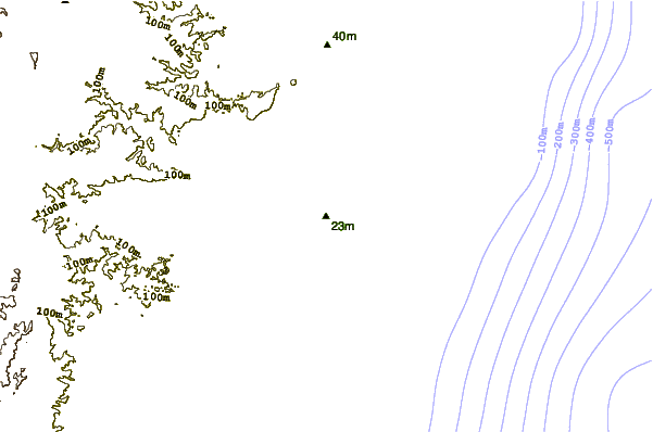
| Contours: | Roads & Rivers: | Select a
tide station / surf break / city |
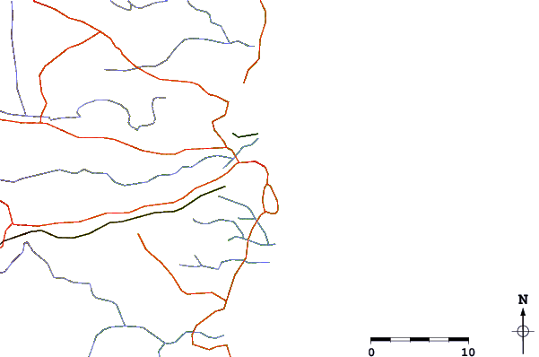
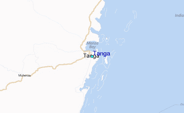
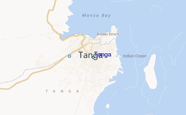
Use this relief map to navigate to tide stations, surf breaks and cities that are in the area of Tanga.
Other Nearby Locations' tide tables and tide charts to Tanga:
click location name for more details
 Surf breaks close to Tanga:
|
||
|---|---|---|
| Closest surf break | Nungwi Reefs | 45 mi |
| Second closest surf break | Mombasa Channel | 80 mi |
| Third closest surf break | Jam's Right | 112 mi |
| Fourth closest surf break | Sea Cliff | 115 mi |
| Fifth closest surf break | Oyster Bay Beach - Coco Beach | 117 mi |


 Nearest
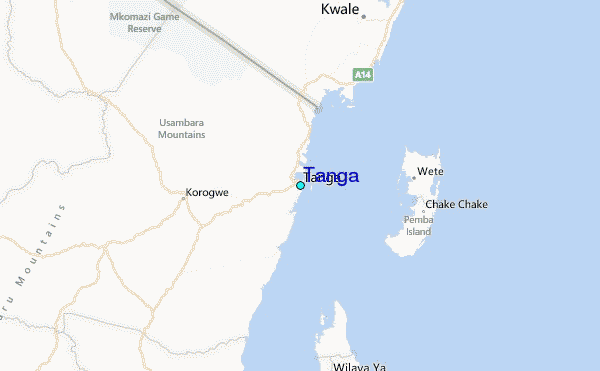