
| Distance / Altitude | Location | Report Date / Time | Live Weather | Wind | Gusts | Temp. | Visibility | Cloud |
|---|---|---|---|---|---|---|---|---|
| 579 km NW / 194 m | Wake Island Airfield Airport (Wake Island) | 2026-06-03 06:55 local (2026/06/02 18:55 GMT) | Clear | calm (0 km/h at 0) | 26°C | 16 | ||
| 581 km NW / 3 m | BUOY-WAKP8 (Marine) | 2026-06-03 08:00 local (2026/06/02 20:00 GMT) | calm (5 km/h at 360) | 26°C | - | |||
| 662 km S / 215 m | Kwajalein/buchol Airport (Marshall Islands) | 2026-06-03 07:40 local (2026/06/02 19:40 GMT) | Clear | light winds from the NNE (6 km/h at 20) | 27°C | 16 | scattered scattered scattered | |
| 663 km S / 3 m | BUOY-KWJP8 (Marine) | 2026-06-03 08:00 local (2026/06/02 20:00 GMT) | - (- km/h at -) | — | - | |||
| 666 km S / 3 m | SHIP7718 (Marine) | 2026-06-03 06:00 local (2026/06/02 18:00 GMT) | - (- km/h at -) | — | - | |||
| 663 km S / 15 m | SHIP4315 (Marine) | 2026-06-03 06:00 local (2026/06/02 18:00 GMT) | - (- km/h at -) | — | - km | |||
| 663 km S / 15 m | SHIP2964 (Marine) | 2026-06-03 08:00 local (2026/06/02 20:00 GMT) | - (- km/h at -) | — | - km | |||
| 663 km S / 3 m | SHIP8644 (Marine) | 2026-06-03 07:00 local (2026/06/02 19:00 GMT) | - (- km/h at -) | — | - | |||
| 663 km S / 15 m | SHIP8297 (Marine) | 2026-06-03 07:00 local (2026/06/02 19:00 GMT) | - (- km/h at -) | — | - km | |||
| 663 km S / 15 m | SHIP5290 (Marine) | 2026-06-03 06:00 local (2026/06/02 18:00 GMT) | - (- km/h at -) | — | - km |
| Contours: | Roads & Rivers: | Select a
tide station / surf break / city |
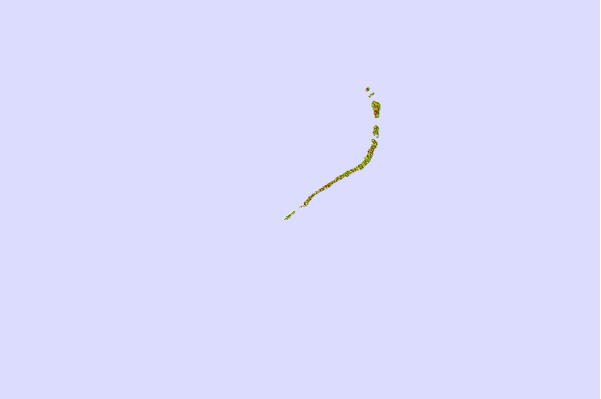
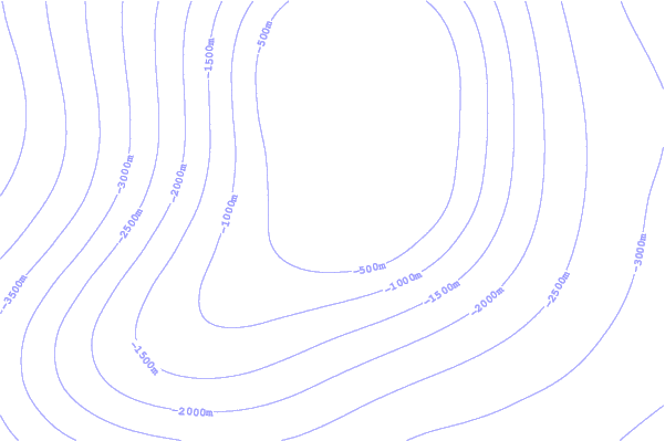
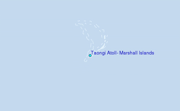
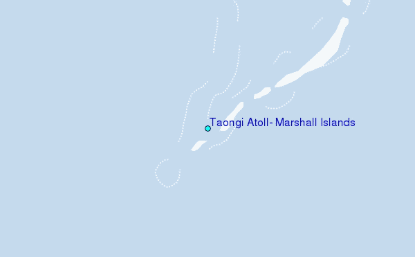
Use this relief map to navigate to tide stations, surf breaks and cities that are in the area of Taongi Atoll, Marshall Islands.
Other Nearby Locations' tide tables and tide charts to Taongi Atoll, Marshall Islands:
click location name for more details
 Surf breaks close to Taongi Atoll, Marshall Islands:
|
||
|---|---|---|
| Closest surf break | Sidedish | 758 mi |
| Second closest surf break | Walung | 759 mi |
| Third closest surf break | Naa | 935 mi |
| Fourth closest surf break | Bird Island | 1544 mi |
| Fifth closest surf break | Tank Beach | 1548 mi |


 Nearest