
| Distance / Altitude | Location | Report Date / Time | Live Weather | Wind | Gusts | Temp. | Visibility | Cloud |
|---|---|---|---|---|---|---|---|---|
| 86 km S / 3 m | BUOY-CSXA2 (Marine) | 2026-03-10 03:02 local (2026/03/10 11:02 GMT) | fresh winds from the E (37 km/h at 100) | — | - | |||
| 86 km S / 3 m | BUOY-CSPA2 (Marine) | 2026-03-10 02:10 local (2026/03/10 10:10 GMT) | - (0 km/h at -) | -2°C | - | |||
| 87 km ENE / 3 m | BUOY-HAXA2 (Marine) | 2026-03-10 03:02 local (2026/03/10 11:02 GMT) | light winds from the W (8 km/h at 270) | -8°C | - | |||
| 88 km ENE / 212 m | Haines Airport (Alaska) | 2026-03-10 01:54 local (2026/03/10 09:54 GMT) | Dry and cloudy | moderate winds from the NNW (20 km/h at 330) | -8°C | 16 | overcast | |
| 89 km SSE / 3 m | BUOY-GEXA2 (Marine) | 2026-03-10 03:02 local (2026/03/10 11:02 GMT) | strong winds from the ENE (39 km/h at 60) | -2°C | - | |||
| 90 km SE / 216 m | Gustavus Airport (Alaska) | 2026-03-10 01:56 local (2026/03/10 09:56 GMT) | Dry and cloudy | light winds from the NNW (9 km/h at 330) | -6°C | 16 | overcast | |
| 90 km SE / 15 m | SHIP2833 (Marine) | 2026-03-10 01:00 local (2026/03/10 09:00 GMT) | near gales from the N (51.84 km/h at 10) | — | - km | |||
| 91 km SE / 3 m | BUOY-GUXA2 (Marine) | 2026-03-10 03:02 local (2026/03/10 11:02 GMT) | calm (4 km/h at 350) | -4°C | - | |||
| 92 km SSE / 3 m | BUOY-ELFA2 (Marine) | 2026-03-10 02:48 local (2026/03/10 10:48 GMT) | - (- km/h at -) | — | - | |||
| 93 km SE / 15 m | SHIP9484 (Marine) | 2026-03-10 01:00 local (2026/03/10 09:00 GMT) | strong winds from the N (48.24 km/h at 10) | — | - km |
| Contours: | Roads & Rivers: | Select a
tide station / surf break / city |
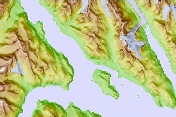
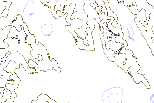
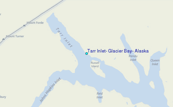
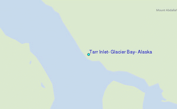
Use this relief map to navigate to tide stations, surf breaks and cities that are in the area of Tarr Inlet, Glacier Bay, Alaska.
Other Nearby Locations' tide tables and tide charts to Tarr Inlet, Glacier Bay, Alaska:
click location name for more details
 Surf breaks close to Tarr Inlet, Glacier Bay, Alaska:
|
||
|---|---|---|
| Closest surf break | Cannon Beach | 109 mi |
| Second closest surf break | Graveyards | 111 mi |
| Third closest surf break | Ocean Cape | 113 mi |
| Fourth closest surf break | Lepus Beach (Haida-Gwaii) | 362 mi |
| Fifth closest surf break | Tow Hill Beach | 389 mi |


 Nearest
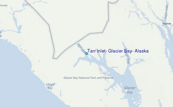