
| Distance / Altitude | Location | Report Date / Time | Live Weather | Wind | Gusts | Temp. | Visibility | Cloud |
|---|---|---|---|---|---|---|---|---|
| 167 km NNE / 82 m | Hatay Airport (Turkey) | 2026-02-25 03:00 local (2026/02/25 00:00 GMT) | - | fresh winds from the SSW (35 km/h at 210) | — | 20 | broken - - | |
| 173 km SSE / 709 m | Damascus Airport (Syria) | 2026-02-25 03:00 local (2026/02/25 00:00 GMT) | - | light winds from the SW (17 km/h at 220) | 7°C | 10.0 | few | |
| 185 km NE / 706 m | Aleppo Airport (Syria) | 2026-02-25 03:00 local (2026/02/25 00:00 GMT) | - | light winds from the W (11 km/h at 280) | 8°C | 8.0 | few | |
| 189 km N / 119 m | Iskenderun (Turkey) | 2026-02-25 03:00 local (2026/02/25 00:00 GMT) | no report | wind obs. (6 kph from 130 degs) was rejected (- km/h at -) | 14°C | 50 km | - no observation - | |
| 209 km WSW / 218 m | Larnaca International Airport (Cyprus) | 2026-02-25 03:30 local (2026/02/25 00:30 GMT) | Dry and partly cloudy | calm (0 km/h at 0) | — | 0.0 | few scattered - | |
| 209 km WSW / 12 m | Larnaca Airport (Cyprus) | 2026-02-25 03:00 local (2026/02/25 00:00 GMT) | - | wind obs. (22 kph from 190 degs) was rejected (- km/h at -) | — | 8 | - clear - | |
| 217 km S / 934 m | Har -Knaan (Zefat) (Israel) | 2026-02-25 03:00 local (2026/02/25 00:00 GMT) | - | - (- km/h at -) | — | - | - | |
| 220 km WSW / 219 m | Ercan Airport (Cyprus) | 2026-02-25 03:20 local (2026/02/25 00:20 GMT) | - | light winds from the WSW (9 km/h at 240) | 4°C | 10.0 | few | |
| 227 km S / 0 m | SEA OF GALILEE (Israel) | 2026-02-25 04:00 local (2026/02/25 01:00 GMT) | - | light winds from the W (7 km/h at 263) | 14°C | - | - - 0 | |
| 230 km WSW / 162 m | Athalassa (Cyprus) | 2026-02-25 02:00 local (2026/02/24 23:00 GMT) | - | wind obs. (6 kph from 30 degs) was rejected (- km/h at -) | — | 20 | - few - |
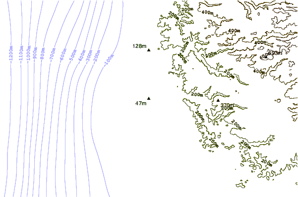
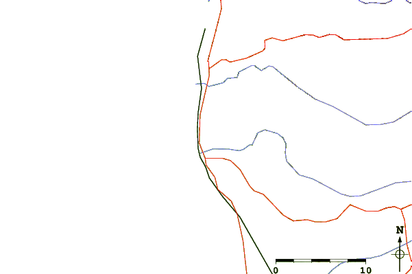
| Contours: | Roads & Rivers: | Select a
tide station / surf break / city |
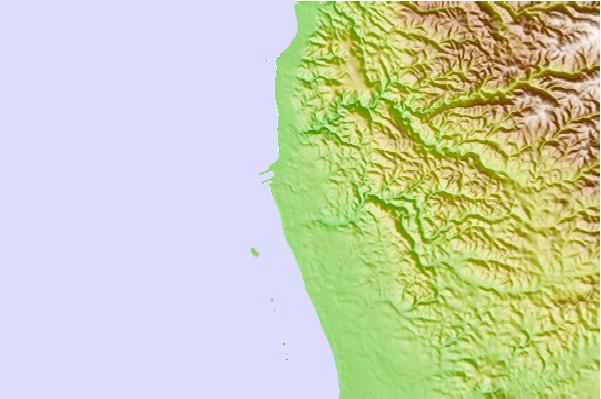
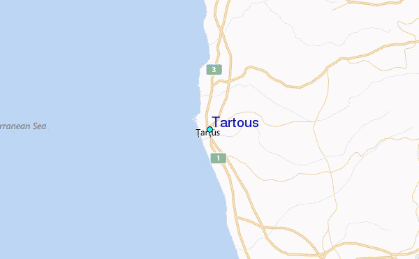
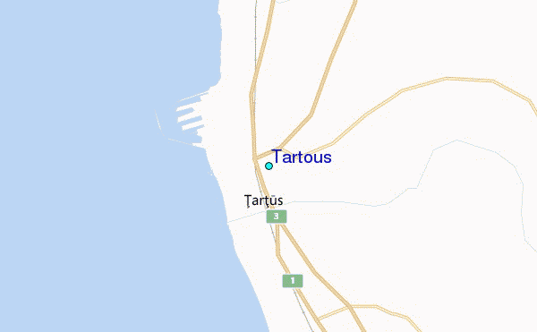
Use this relief map to navigate to tide stations, surf breaks and cities that are in the area of Tartous.
Other Nearby Locations' tide tables and tide charts to Tartous:
click location name for more details
 Surf breaks close to Tartous:
|
||
|---|---|---|
| Closest surf break | Sandy Beach - Chekka | 42 mi |
| Second closest surf break | Batroun or Colonel | 47 mi |
| Third closest surf break | Tam Tam | 55 mi |
| Fourth closest surf break | Nahr Brahim | 59 mi |
| Fifth closest surf break | Phil and Did (Akif's reef) | 89 mi |


 Nearest
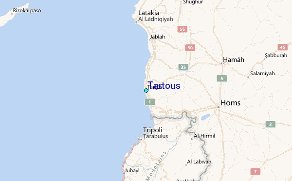