
| Distance / Altitude | Location | Report Date / Time | Live Weather | Wind | Gusts | Temp. | Visibility | Cloud |
|---|---|---|---|---|---|---|---|---|
| 7 km S / 193 m | Tela Airport (Honduras) | 2026-02-18 18:00 local (2026/02/19 00:00 GMT) | - | calm (4 km/h at 1) | 27°C | 10.0 | few | |
| 62 km SSW / 384 m | La Mesa-Pedro Sula (Honduras) | 2026-02-18 18:00 local (2026/02/19 00:00 GMT) | Haze | light winds from the NE (19 km/h at 40) | 27°C | 30 km | few few - | |
| 64 km E / 26 m | LACeiba(Airport) (Honduras) | 2026-02-18 18:00 local (2026/02/19 00:00 GMT) | Haze | calm (4 km/h at 990) | 29°C | 30 km | - few - | |
| 66 km E / 378 m | La Ceiba/Goloson International Airport (Honduras) | 2026-02-18 18:00 local (2026/02/19 00:00 GMT) | - | calm (4 km/h at 1) | 29°C | 10.0 | few | |
| 78 km SSE / 695 m | Yoro Airport (Honduras) | 2026-02-18 18:00 local (2026/02/19 00:00 GMT) | Haze | light winds from the E (11 km/h at 90) | 26°C | 30 km | scattered | |
| 104 km ENE / 3 m | SHIP5791 (Marine) | 2026-02-18 18:00 local (2026/02/19 00:00 GMT) | - (- km/h at -) | 27°C | - | |||
| 104 km ENE / 3 m | SHIP8976 (Marine) | 2026-02-18 18:00 local (2026/02/19 00:00 GMT) | - (- km/h at -) | 27°C | - | |||
| 104 km ENE / 3 m | SHIP2660 (Marine) | 2026-02-18 18:00 local (2026/02/19 00:00 GMT) | - (- km/h at -) | 27°C | - | |||
| 104 km ENE / 3 m | SHIP8279 (Marine) | 2026-02-18 18:00 local (2026/02/19 00:00 GMT) | moderate winds from the E (21 km/h at 100) | 27°C | 20.4 | |||
| 104 km ENE / 3 m | SHIP5767 (Marine) | 2026-02-18 18:00 local (2026/02/19 00:00 GMT) | moderate winds from the E (21 km/h at 100) | 27°C | 20.4 |
| Contours: | Roads & Rivers: | Select a
tide station / surf break / city |
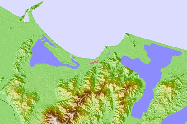
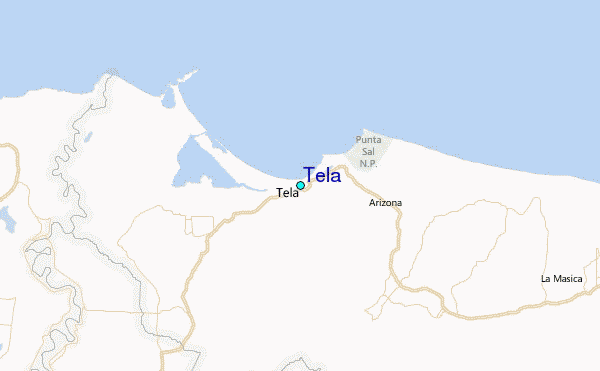
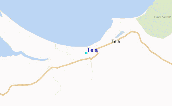
Use this relief map to navigate to tide stations, surf breaks and cities that are in the area of Tela.
Other Nearby Locations' tide tables and tide charts to Tela:
click location name for more details
 Surf breaks close to Tela:
|
||
|---|---|---|
| Closest surf break | Palma Real | 63 mi |
| Second closest surf break | East Point Long Cay | 132 mi |
| Third closest surf break | San Pedro South Reef Pass | 150 mi |
| Fourth closest surf break | San Pedro North Reef Pass | 152 mi |
| Fifth closest surf break | Rocky Point | 164 mi |


 Nearest
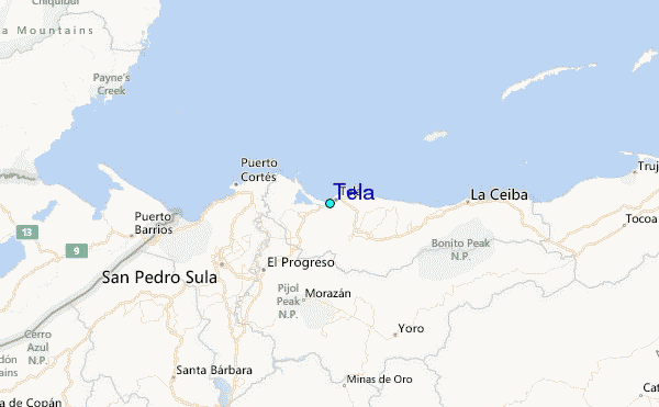