
| Distance / Altitude | Location | Report Date / Time | Live Weather | Wind | Gusts | Temp. | Visibility | Cloud |
|---|---|---|---|---|---|---|---|---|
| 15 km SW / 4 m | lightning 11km WNW of Palm Beach Gardens (United States) | 2026-04-02 13:18 local (2026/04/02 17:18 GMT) | Thunderstorm | (- km/h at -) | — | |||
| 18 km WSW / 3 m | lightning 15km W of Tequesta (United States) | 2026-04-02 13:46 local (2026/04/02 17:46 GMT) | Thunderstorm | (- km/h at -) | — | |||
| 28 km NW / 240 m | Stuart/Witham Field Airport (Florida) | 2026-04-02 12:48 local (2026/04/02 16:48 GMT) | Dry and partly cloudy | moderate winds from the ESE (24 km/h at 110) | 27°C | 16 | scattered broken | |
| 28 km WNW / 7 m | lightning 7km SW of Palm City (United States) | 2026-04-02 14:03 local (2026/04/02 18:03 GMT) | Thunderstorm | (- km/h at -) | — | |||
| 30 km S / 218 m | West Palm Beach Airport (Florida) | 2026-04-02 13:22 local (2026/04/02 17:22 GMT) | Thunderstorm - | fresh winds from the ESE (37 km/h at 110) | 26°C | 16 | scattered broken broken | |
| 35 km SW / 4 m | lightning 20km WNW of Royal Palm Beach (United States) | 2026-04-02 14:03 local (2026/04/02 18:03 GMT) | Thunderstorm | (- km/h at -) | — | |||
| 36 km WSW / 9 m | lightning 4km SE of Indiantown (United States) | 2026-04-02 14:05 local (2026/04/02 18:05 GMT) | Thunderstorm | (- km/h at -) | — | |||
| 38 km S / 3 m | BUOY-LKWF1 (Marine) | 2026-04-02 13:30 local (2026/04/02 17:30 GMT) | fresh winds from the SE (32 km/h at 130) | 25°C | - | |||
| 39 km S / 5 m | West Palm Beach (FL) (Florida) | 2026-04-02 13:35 local (2026/04/02 17:35 GMT) | Dry and partly cloudy | moderate winds from the ESE (28 km/h at 120) | — | 16 | scattered scattered broken | |
| 58 km WSW / 4 m | lightning 14km N of Pahokee (United States) | 2026-04-02 14:31 local (2026/04/02 18:31 GMT) | Thunderstorm | (- km/h at -) | — |
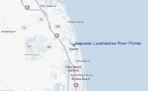
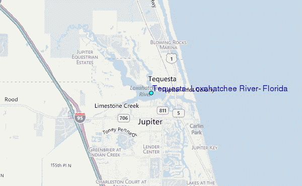
Choose Tequesta, Loxahatchee River, Florida Location Map Zoom:
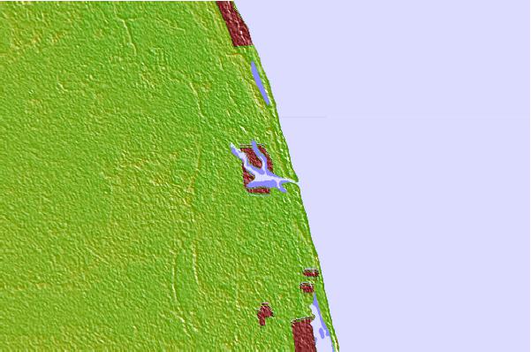
| Contours: | Roads & Rivers: | Select a
tide station / surf break / city |
Use this relief map to navigate to tide stations, surf breaks and cities that are in the area of Tequesta, Loxahatchee River, Florida.
Other Nearby Locations' tide tables and tide charts to Tequesta, Loxahatchee River, Florida:
click location name for more details
 Surf breaks close to Tequesta, Loxahatchee River, Florida:
|
||
|---|---|---|
| Closest surf break | Coral Cove | 2 mi |
| Second closest surf break | Jupiter Inlet North Jetty | 2 mi |
| Third closest surf break | Jupiter Inlet North South Side | 2 mi |
| Fourth closest surf break | Jupiter Inlet South Jetty | 2 mi |
| Fifth closest surf break | Juno Pier | 5 mi |


 Nearest
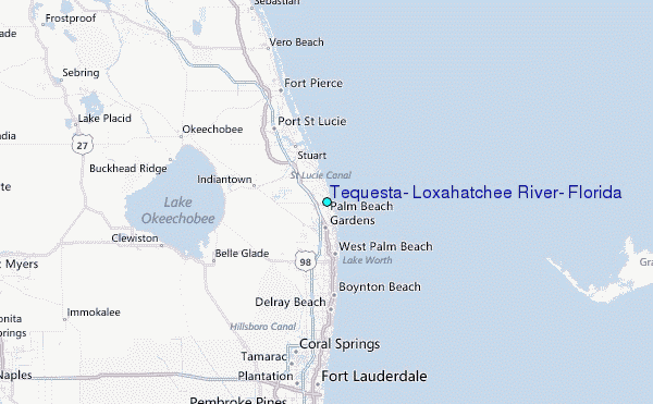