
| Distance / Altitude | Location | Report Date / Time | Live Weather | Wind | Gusts | Temp. | Visibility | Cloud |
|---|---|---|---|---|---|---|---|---|
| 3 km SSW / 16.2 m | Decatur Island (Washington) | 2026-04-02 06:35 local (2026/04/02 13:35 GMT) | dry | calm (0 km/h at 178) | — | - | - - 0 | |
| 5 km WSW / 36 m | Lopez Island (Washington) | 2026-04-02 07:00 local (2026/04/02 14:00 GMT) | dry | calm (2 km/h at 280) | 6°C | - | - - 0 | |
| 9 km WSW / 18 m | Lopez Island wx (United States) | 2026-04-02 07:10 local (2026/04/02 14:10 GMT) | dry | calm (0 km/h at 37) | 7°C | - | - - 0 | |
| 10 km ESE / 6 m | Alexander Beach wx (United States) | 2026-04-02 07:16 local (2026/04/02 14:16 GMT) | dry | calm (3 km/h at 276) | 6°C | - | - - 0 | |
| 12 km S / 30 m | Lopez Village (Washington) | 2026-04-02 06:25 local (2026/04/02 13:25 GMT) | dry | calm (0 km/h at 292) | 7°C | - | - - 0 | |
| 13 km ESE / 72 m | Anacortes (Washington) | 2026-04-02 07:19 local (2026/04/02 14:19 GMT) | dry | calm (0 km/h at 0) | 6°C | - | - - 0 | |
| 13 km ENE / 30 m | Anacortes (Washington) | 2026-04-02 07:15 local (2026/04/02 14:15 GMT) | dry | - (- km/h at ) | — | - | - - 0 | |
| 15 km WSW / 3 m | BUOY-FRDW1 (Marine) | 2026-04-02 06:36 local (2026/04/02 13:36 GMT) | - (- km/h at -) | 6°C | - | |||
| 16 km NW / 1 m | Rosario wx (United States) | 2026-04-02 06:25 local (2026/04/02 13:25 GMT) | dry | calm (0 km/h at 49) | 4°C | - | - - 0 | |
| 16 km E / 273 m | Anacortes (Washington) | 2026-04-02 06:19 local (2026/04/02 13:19 GMT) | dry | calm (0 km/h at 178) | 6°C | - | - - 0 |
| Contours: | Roads & Rivers: | Select a
tide station / surf break / city |
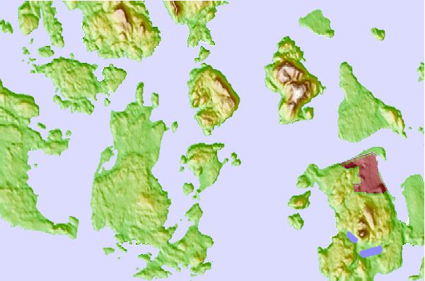
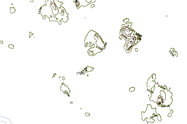
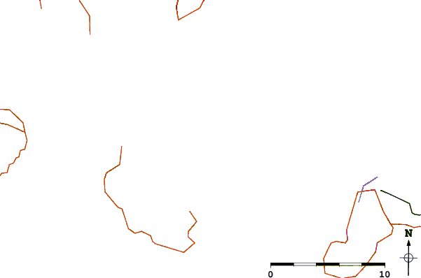
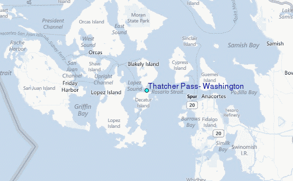
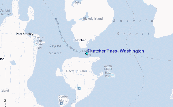
Use this relief map to navigate to tide stations, surf breaks and cities that are in the area of Thatcher Pass, Washington.
Other Nearby Locations' tide tables and tide charts to Thatcher Pass, Washington:
click location name for more details
 Surf breaks close to Thatcher Pass, Washington:
|
||
|---|---|---|
| Closest surf break | Fort. Ebey | 21 mi |
| Second closest surf break | Super green | 36 mi |
| Third closest surf break | Elwha | 44 mi |
| Fourth closest surf break | Crescent | 48 mi |
| Fifth closest surf break | Whiskey Creek | 52 mi |


 Nearest
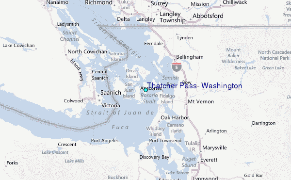