
| Distance / Altitude | Location | Report Date / Time | Live Weather | Wind | Gusts | Temp. | Visibility | Cloud |
|---|---|---|---|---|---|---|---|---|
| 34 km NW / 215 m | Kake Airport (Alaska) | 2025-12-24 00:56 local (2025/12/24 09:56 GMT) | Clear | calm (0 km/h at 0) | -10°C | 16 | ||
| 45 km WNW / 15 m | SHIP4715 (Marine) | 2025-12-24 00:00 local (2025/12/24 09:00 GMT) | light winds from the NNW (18.36 km/h at 340) | — | - km | |||
| 49 km E / 46 m | Scow Bay wx (United States) | 2025-12-24 02:10 local (2025/12/24 11:10 GMT) | - | calm (0 km/h at 202) | -14°C | - | - - 0 | |
| 49 km ENE / 216 m | Petersburg Airport (Alaska) | 2025-12-24 00:56 local (2025/12/24 09:56 GMT) | Clear | wind obs. (6 kph from 250 degs) was rejected (- km/h at -) | -16°C | 16 | ||
| 66 km N / 3 m | BUOY-FFIA2 (Marine) | 2025-12-24 02:00 local (2025/12/24 11:00 GMT) | near gales from the NNW (58 km/h at 340) | -6°C | - | |||
| 45 km WNW / 15 m | SHIP2984 (Marine) | 2025-12-24 00:00 local (2025/12/24 09:00 GMT) | fresh winds from the N (29.52 km/h at 10) | — | - km | |||
| 49 km E / 46 m | Scow Bay wx (United States) | 2025-12-24 02:10 local (2025/12/24 11:10 GMT) | - | calm (0 km/h at 202) | -14°C | - | - - 0 | |
| 49 km ENE / 216 m | Petersburg Airport (Alaska) | 2025-12-24 00:56 local (2025/12/24 09:56 GMT) | Clear | wind obs. (6 kph from 250 degs) was rejected (- km/h at -) | -16°C | 16 | ||
| 51 km NNE / 15 m | SHIP3291 (Marine) | 2025-12-24 02:00 local (2025/12/24 11:00 GMT) | light winds from the ESE (14.76 km/h at 110) | — | - km | |||
| 54 km WNW / 3 m | SHIP5835 (Marine) | 2025-12-24 01:00 local (2025/12/24 10:00 GMT) | moderate winds from the W (21 km/h at 280) | -5°C | - |
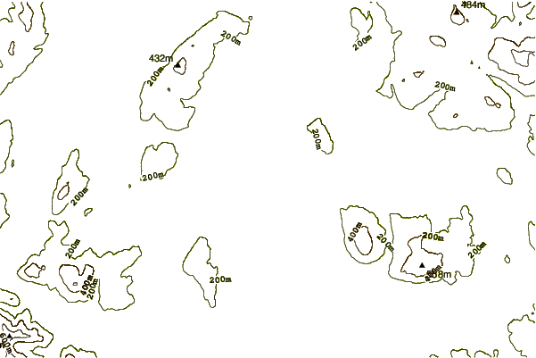
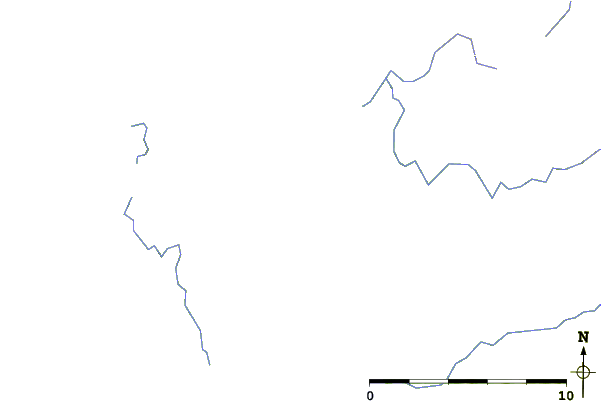
| Contours: | Roads & Rivers: | Select a
tide station / surf break / city |
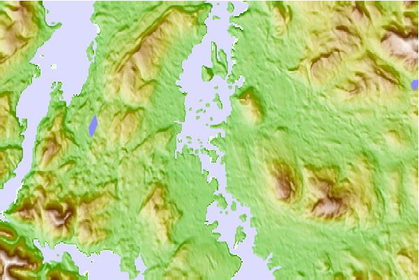
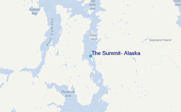
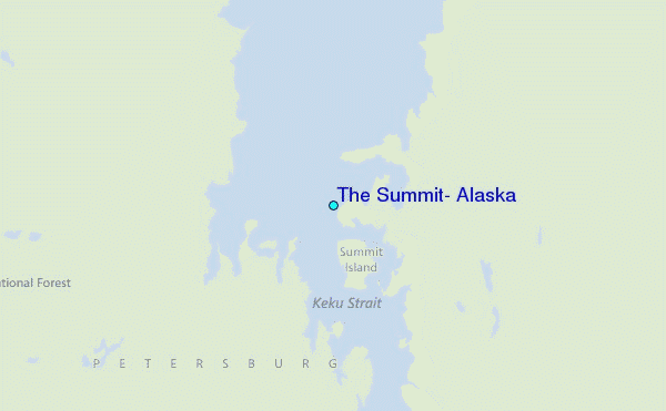
Use this relief map to navigate to tide stations, surf breaks and cities that are in the area of The Summit, Alaska.
Other Nearby Locations' tide tables and tide charts to The Summit, Alaska:
click location name for more details
 Surf breaks close to The Summit, Alaska:
|
||
|---|---|---|
| Closest surf break | Lepus Beach (Haida-Gwaii) | 176 mi |
| Second closest surf break | Tow Hill Beach | 196 mi |
| Third closest surf break | Cannon Beach | 294 mi |
| Fourth closest surf break | Graveyards | 298 mi |
| Fifth closest surf break | Ocean Cape | 298 mi |


 Nearest
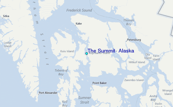