
| Distance / Altitude | Location | Report Date / Time | Live Weather | Wind | Gusts | Temp. | Visibility | Cloud |
|---|---|---|---|---|---|---|---|---|
| 44 km S / 218 m | La Tontouta International Airport, New Caledonia (Samoa/polynesia) | 2026-01-03 22:30 local (2026/01/03 11:30 GMT) | - | calm (4 km/h at 1) | — | 0.0 | ||
| 44 km S / 11 m | LA Tontouta (Nlle -Caledonie) (New Caledonia) | 2026-01-03 22:00 local (2026/01/03 11:00 GMT) | no report | calm (4 km/h at 80) | 17°C | 60 | - | |
| 65 km S / 200 m | Gadji (New Caledonia) | 2026-01-03 23:00 local (2026/01/03 12:00 GMT) | - | moderate winds from the ENE (24 km/h at 71) | 24°C | - | - - 0 | |
| 72 km SSE / 55 m | Rivière Salée wx (New Caledonia) | 2026-01-03 23:09 local (2026/01/03 12:09 GMT) | - | - (- km/h at ) | 27°C | - | - - 0 | |
| 74 km E / 15 m | ASCATC167E22S (Marine) | 2026-01-03 21:14 local (2026/01/03 10:14 GMT) | moderate winds from the SE (21 km/h at 138) | — | - km | |||
| 76 km SSE / 71 m | Noumea (Nlle -Caledonie) (New Caledonia) | 2026-01-03 22:00 local (2026/01/03 11:00 GMT) | no report | light winds from the ENE (11 km/h at 60) | 20°C | - | - | |
| 77 km SSE / 17 m | CNC (New Caledonia) | 2026-01-03 23:00 local (2026/01/03 12:00 GMT) | - | light winds from the ENE (15 km/h at 64) | 24°C | - | - - 0 | |
| 84 km SSE / 7 m | Mont Dore corniche (New Caledonia) | 2026-01-03 23:00 local (2026/01/03 12:00 GMT) | - | calm (2 km/h at 333) | — | - | - - 0 | |
| 85 km NE / 15 m | ASCATC167E21S (Marine) | 2026-01-03 21:14 local (2026/01/03 10:14 GMT) | moderate winds from the SE (26 km/h at 130) | — | - km | |||
| 93 km SSW / 15 m | ASCATC166E22S (Marine) | 2026-01-03 21:14 local (2026/01/03 10:14 GMT) | moderate winds from the SE (25 km/h at 127) | — | - km |
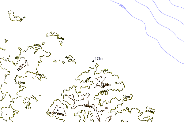
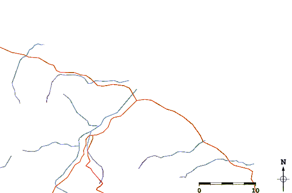
| Contours: | Roads & Rivers: | Select a
tide station / surf break / city |
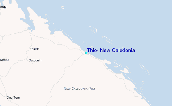
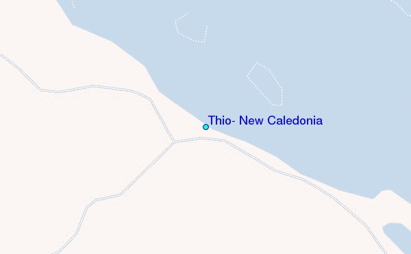
Use this relief map to navigate to tide stations, surf breaks and cities that are in the area of Thio, New Caledonia.
Other Nearby Locations' tide tables and tide charts to Thio, New Caledonia:
click location name for more details
 Surf breaks close to Thio, New Caledonia:
|
||
|---|---|---|
| Closest surf break | St Vincent Right | 33 mi |
| Second closest surf break | Maria Reef left | 34 mi |
| Third closest surf break | St Vincent Left | 34 mi |
| Fourth closest surf break | Tenia | 34 mi |
| Fifth closest surf break | Mushrooms | 37 mi |


 Nearest
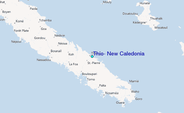