
| Distance / Altitude | Location | Report Date / Time | Live Weather | Wind | Gusts | Temp. | Visibility | Cloud |
|---|---|---|---|---|---|---|---|---|
| 167 km ENE / 4 m | Port Price wx (Australia) | 2026-06-21 02:45 local (2026/06/20 17:15 GMT) | dry | light winds from the WSW (6 km/h at 248) | 9°C | - | - - 0 | |
| 197 km E / 62 m | Halletts Cove wx (Australia) | 2026-06-21 02:32 local (2026/06/20 17:02 GMT) | dry | light winds from the E (11 km/h at 81) | 8°C | - | - - 0 | |
| 198 km E / 218 m | Adelaide International Airport (Australia) | 2026-06-21 02:00 local (2026/06/20 16:30 GMT) | Fog shallow - | light winds from the ENE (6 km/h at 70) | 5°C | 10.0 | few scattered | |
| 200 km E / 105 m | Hallett Cove (Australia) | 2026-06-21 01:06 local (2026/06/20 15:36 GMT) | dry | calm (2 km/h at 180) | 9°C | - | - - 0 | |
| 202 km E / 10 m | Waterloo Corner (Australia) | 2026-06-21 01:58 local (2026/06/20 16:28 GMT) | dry | - (- km/h at ) | — | - | - - 0 | |
| 205 km E / 48 m | Westbourne Park (Australia) | 2026-06-21 02:19 local (2026/06/20 16:49 GMT) | dry | calm (0 km/h at 263) | 7°C | - | - - 0 | |
| 209 km E / 80 m | Adelaide (Australia) | 2026-06-21 02:09 local (2026/06/20 16:39 GMT) | dry | calm (3 km/h at 94) | 7°C | - | - - 0 | |
| 209 km E / 74 m | Hillcrest wx (Australia) | 2026-06-21 02:31 local (2026/06/20 17:01 GMT) | dry | calm (0 km/h at ) | 6°C | - | - - 0 | |
| 211 km E / 22 m | Para Hills West (Australia) | 2026-06-21 02:42 local (2026/06/20 17:12 GMT) | dry | calm (0 km/h at 0) | 4°C | - | - - 0 | |
| 213 km E / 85 m | Salisbury Park wx (Australia) | 2026-06-21 02:33 local (2026/06/20 17:03 GMT) | dry | calm (0 km/h at 67) | 6°C | - | - - 0 |
| Contours: | Roads & Rivers: | Select a
tide station / surf break / city |
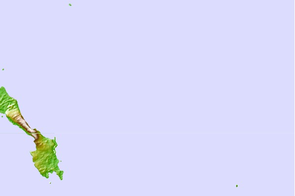
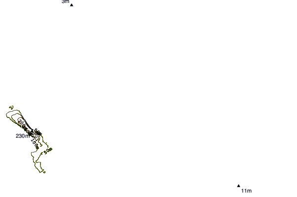
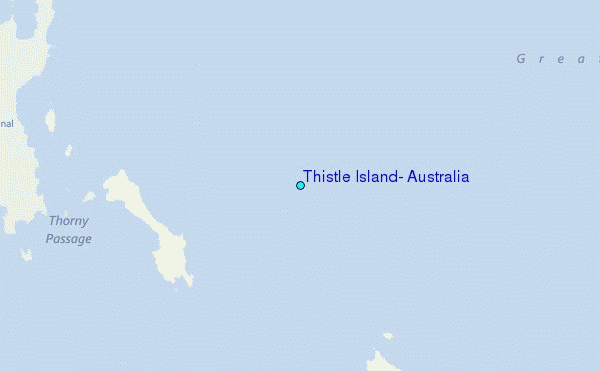
Use this relief map to navigate to tide stations, surf breaks and cities that are in the area of Thistle Island, Australia.
Other Nearby Locations' tide tables and tide charts to Thistle Island, Australia:
click location name for more details
 Surf breaks close to Thistle Island, Australia:
|
||
|---|---|---|
| Closest surf break | Thistle Island (False Creek) | 14 mi |
| Second closest surf break | Daly Heads | 34 mi |
| Third closest surf break | Salmon Hole | 34 mi |
| Fourth closest surf break | Pondalowie Bay | 34 mi |
| Fifth closest surf break | Sleaford Bay (Wreck Beach) | 34 mi |


 Nearest
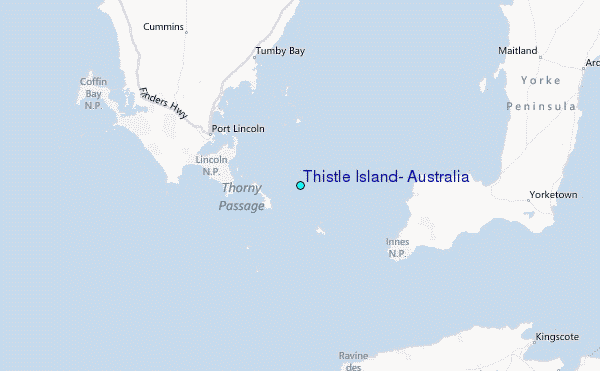