
| Distance / Altitude | Location | Report Date / Time | Live Weather | Wind | Gusts | Temp. | Visibility | Cloud |
|---|---|---|---|---|---|---|---|---|
| 23 km S / 216 m | Petersburg Airport (Alaska) | 2025-12-23 12:56 local (2025/12/23 21:56 GMT) | Dry and partly cloudy | wind obs. (6 kph from 200 degs) was rejected (- km/h at -) | -13°C | 16 | scattered broken | |
| 26 km S / 3 m | SHIP3366 (Marine) | 2025-12-23 12:00 local (2025/12/23 21:00 GMT) | calm (2 km/h at 60) | -10°C | - | |||
| 30 km S / 46 m | Scow Bay wx (United States) | 2025-12-23 14:21 local (2025/12/23 23:21 GMT) | - | calm (0 km/h at 202) | -12°C | - | - - 0 | |
| 59 km W / 3 m | BUOY-FFIA2 (Marine) | 2025-12-23 14:00 local (2025/12/23 23:00 GMT) | near gales from the N (58 km/h at 360) | -7°C | - | |||
| 63 km SSE / 215 m | Wrangell Airport (Alaska) | 2025-12-23 12:56 local (2025/12/23 21:56 GMT) | - | wind obs. (11 kph from 260 degs) was rejected (- km/h at -) | — | 16 | scattered broken - | |
| 26 km S / 3 m | SHIP3841 (Marine) | 2025-12-23 13:00 local (2025/12/23 22:00 GMT) | light winds from the SW (8 km/h at 220) | -11°C | - | |||
| 26 km S / - m | SHIP1214 (ocean) | 2025-12-23 14:00 local (2025/12/23 23:00 GMT) | - | calm (2 km/h at 70) | -10°C | - | no observation | |
| 26 km S / 15 m | SHIP3986 (Marine) | 2025-12-23 14:00 local (2025/12/23 23:00 GMT) | calm (1.8 km/h at 100) | — | - km | |||
| 26 km S / 15 m | SHIP7822 (Marine) | 2025-12-23 13:00 local (2025/12/23 22:00 GMT) | light winds from the SW (7.5600000000000005 km/h at 220) | — | - km | |||
| 26 km S / 15 m | SHIP4592 (Marine) | 2025-12-23 13:00 local (2025/12/23 22:00 GMT) | light winds from the SW (7.5600000000000005 km/h at 220) | — | - km |
| Contours: | Roads & Rivers: | Select a
tide station / surf break / city |
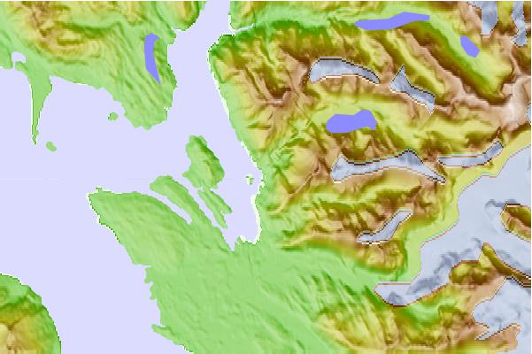
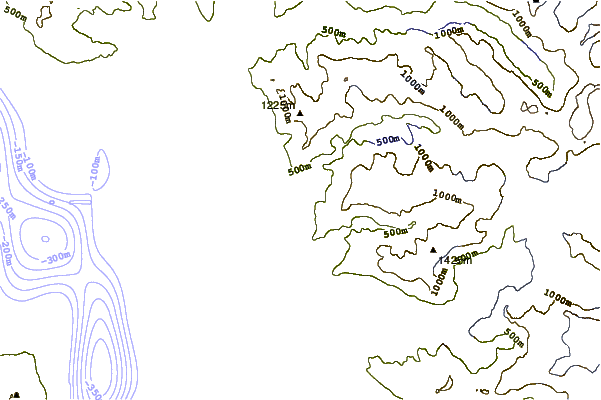
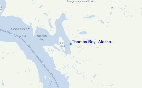
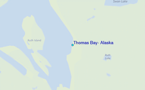
Use this relief map to navigate to tide stations, surf breaks and cities that are in the area of Thomas Bay, Alaska.
Other Nearby Locations' tide tables and tide charts to Thomas Bay, Alaska:
click location name for more details
 Surf breaks close to Thomas Bay, Alaska:
|
||
|---|---|---|
| Closest surf break | Lepus Beach (Haida-Gwaii) | 196 mi |
| Second closest surf break | Tow Hill Beach | 206 mi |
| Third closest surf break | Cannon Beach | 307 mi |
| Fourth closest surf break | Graveyards | 310 mi |
| Fifth closest surf break | Ocean Cape | 311 mi |


 Nearest
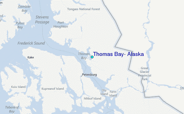