
| Distance / Altitude | Location | Report Date / Time | Live Weather | Wind | Gusts | Temp. | Visibility | Cloud |
|---|---|---|---|---|---|---|---|---|
| 115 km SSE / 484 m | Honiara/Henderson Airport (Solomon Islands) | 2025-12-25 19:00 local (2025/12/25 08:00 GMT) | - | wind obs. (11 kph from 250 degs) was rejected (- km/h at -) | — | 10.0 | few few scattered | |
| 120 km ESE / 11 m | Auki (Solomon Islands) | 2025-12-25 17:00 local (2025/12/25 06:00 GMT) | distant precipitation but not falling at station | calm (4 km/h at 90) | — | 10 | - | |
| 191 km SW / 2 m | Penrhyn Island (Samoa) | 2025-12-25 18:00 local (2025/12/25 07:00 GMT) | - | light winds from the N (9 km/h at 350) | 27°C | |||
| 203 km S / 0 m | lightning 108km SW of Honiara (Solomon Islands) | 2025-12-25 18:20 local (2025/12/25 07:20 GMT) | Thunderstorm | (- km/h at -) | — | |||
| 268 km WSW / 6 m | Munda-New Georgia (Solomon Islands) | 2025-12-25 17:00 local (2025/12/25 06:00 GMT) | distant precipitation but not falling at station | - (- km/h at -) | 25°C | 4000 | - - - | |
| 334 km WSW / 0 m | lightning 90km S of Gizo (Solomon Islands) | 2025-12-25 17:46 local (2025/12/25 06:46 GMT) | Thunderstorm | (- km/h at -) | — | |||
| 347 km S / 15 m | Tingoa (Solomon Islands) | 2025-12-25 17:00 local (2025/12/25 06:00 GMT) | Distant precipitation but not falling at station | calm (0 km/h at 0) | 30°C | 20 km | mostly cloudy | |
| 576 km WSW / 0 m | lightning 192km SW of Panguna (Papua New Guinea) | 2025-12-25 20:00 local (2025/12/25 09:00 GMT) | Thunderstorm | (- km/h at -) | — | |||
| 715 km ESE / 24 m | Santa Cruz Island (Solomon Islands) | 2025-12-25 17:00 local (2025/12/25 06:00 GMT) | light rain showers | wind obs. (11 kph from 90 degs) was rejected (- km/h at -) | 26°C | 20 | - scattered - | |
| 1045 km SE / 18 m | Sola (Vanua Lava Island) (Vanuatu) | 2025-12-25 17:00 local (2025/12/25 06:00 GMT) | Dry and cloudy | calm (0 km/h at 0) | 30°C | 10.0 | scattered overcast - |
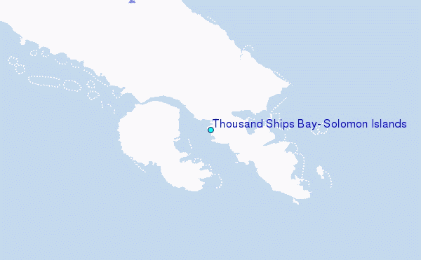
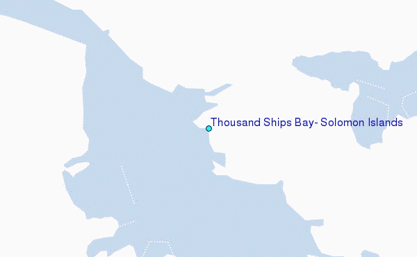
Choose Thousand Ships Bay, Solomon Islands Location Map Zoom:
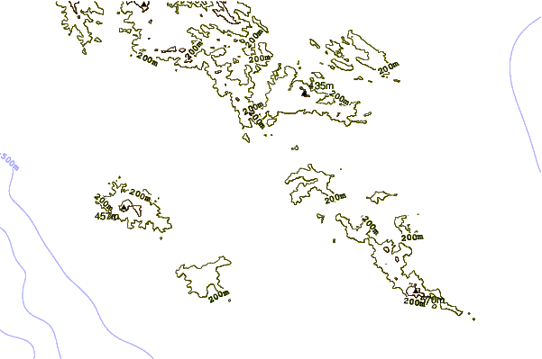
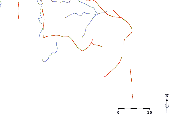
| Contours: | Roads & Rivers: | Select a
tide station / surf break / city |
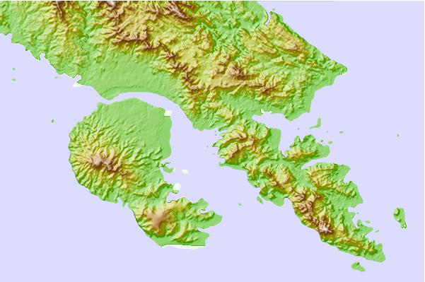
Use this relief map to navigate to tide stations, surf breaks and cities that are in the area of Thousand Ships Bay, Solomon Islands.
Other Nearby Locations' tide tables and tide charts to Thousand Ships Bay, Solomon Islands:
click location name for more details
 Surf breaks close to Thousand Ships Bay, Solomon Islands:
|
||
|---|---|---|
| Closest surf break | Coves | 168 mi |
| Second closest surf break | Kundu Kundu | 169 mi |
| Third closest surf break | Lavata | 170 mi |
| Fourth closest surf break | Mbirimbiri | 172 mi |
| Fifth closest surf break | Skull Island | 173 mi |


 Nearest
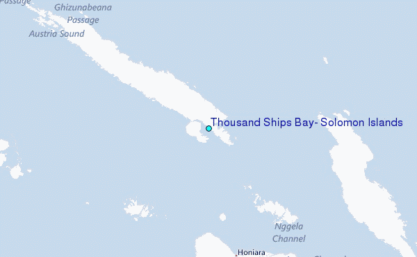