
| Distance / Altitude | Location | Report Date / Time | Live Weather | Wind | Gusts | Temp. | Visibility | Cloud |
|---|---|---|---|---|---|---|---|---|
| 5 km SSE / 11 m | Tillamook Municipal Airport (Oregon) | 2026-07-27 13:35 local (2026/07/27 20:35 GMT) | Clear | light winds from the W (17 km/h at 270) | 22°C | 16 | ||
| 16 km WNW / 3 m | BUOY-46278 (Marine) | 2026-07-27 14:30 local (2026/07/27 21:30 GMT) | - (- km/h at -) | 16°C | - | |||
| 63 km ESE / 207 m | Mcminnville Airport (Oregon) | 2026-07-27 12:53 local (2026/07/27 19:53 GMT) | Clear | light winds from the SSE (11 km/h at 150) | 24°C | 16 | ||
| 69 km E / 177 m | Springbrook wx (United States) | 2026-07-27 14:44 local (2026/07/27 21:44 GMT) | dry | calm (0 km/h at 257) | 34°C | - | - - 0 | |
| 71 km E / 218 m | Hillsboro/Portland Airport (Oregon) | 2026-07-27 12:53 local (2026/07/27 19:53 GMT) | Clear | light winds from the N (7 km/h at 1) | 24°C | 16 | ||
| 77 km N / 218 m | Astoria Airport (Oregon) | 2026-07-27 12:55 local (2026/07/27 19:55 GMT) | Clear | light winds from the SW (17 km/h at 230) | 19°C | 16 | ||
| 84 km ENE / 219 m | Scappoose Airport (Oregon) | 2026-07-27 13:53 local (2026/07/27 20:53 GMT) | Clear | wind obs. (13 kph from 80 degs) was rejected (- km/h at -) | 25°C | 16 | ||
| 84 km N / 3 m | BUOY-ASTO3 (Marine) | 2026-07-27 14:00 local (2026/07/27 21:00 GMT) | moderate winds from the NW (21 km/h at 320) | 18°C | - | |||
| 85 km E / 70 m | Tualatin (Oregon) | 2026-07-27 14:43 local (2026/07/27 21:43 GMT) | dry | wind obs. (10 kph from 349 degs) was rejected (- km/h at -) | 28°C | - | - - 0 | |
| 87 km NW / 3 m | Clatsop Spit- OR (Marine) | 2026-07-27 14:30 local (2026/07/27 21:30 GMT) | - (- km/h at -) | 16°C | - |
Choose Tillamook, Hoquarten Slough, Oregon Location Map Zoom:
| Contours: | Roads & Rivers: | Select a
tide station / surf break / city |
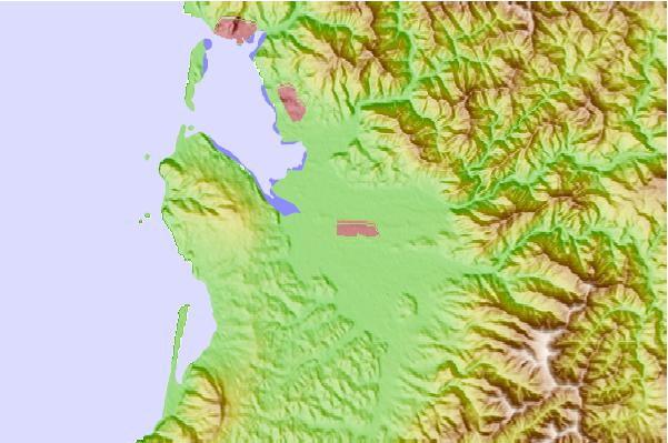
Use this relief map to navigate to tide stations, surf breaks and cities that are in the area of Tillamook, Hoquarten Slough, Oregon.
Other Nearby Locations' tide tables and tide charts to Tillamook, Hoquarten Slough, Oregon:
click location name for more details
 Surf breaks close to Tillamook, Hoquarten Slough, Oregon:
|
||
|---|---|---|
| Closest surf break | Barview Jetty | 6 mi |
| Second closest surf break | Cape Lookout | 11 mi |
| Third closest surf break | Rockaway | 12 mi |
| Fourth closest surf break | Manzanita | 17 mi |
| Fifth closest surf break | Pacific City/Cape Kiwanda | 19 mi |


 Nearest