
| Distance / Altitude | Location | Report Date / Time | Live Weather | Wind | Gusts | Temp. | Visibility | Cloud |
|---|---|---|---|---|---|---|---|---|
| 187 km E / 3 m | Timika (Indonesia) | 2026-02-20 17:00 local (2026/02/20 08:00 GMT) | Continuous light rain | light winds from the NW (9 km/h at 310) | 27°C | 5.0 km | mostly cloudy | |
| 190 km W / 3 m | KaimanaUtarom (Indonesia) | 2026-02-20 17:00 local (2026/02/20 08:00 GMT) | Rain | wind obs. (7 kph from 350 degs) was rejected (- km/h at -) | 28°C | 26 km | mostly cloudy | |
| 305 km SW / 12 m | TualDumatubun (Indonesia) | 2026-02-20 17:00 local (2026/02/20 08:00 GMT) | - | light winds from the NNW (7 km/h at 330) | 29°C | 29 km | mostly cloudy | |
| 376 km NNE / 11 m | BiakFransKaisiepo (Indonesia) | 2026-02-20 17:00 local (2026/02/20 08:00 GMT) | - | wind obs. (7 kph from 230 degs) was rejected (- km/h at -) | 28°C | 30 km | mostly cloudy | |
| 378 km NNE / 150 m | Biak/Frans Kaisiepo Airport (Indonesia) | 2026-02-20 17:30 local (2026/02/20 08:30 GMT) | Dry and partly cloudy | calm (4 km/h at 1) | 28°C | 10.0 | scattered | |
| 415 km NW / 3 m | ManokwariRendani (Indonesia) | 2026-02-20 17:00 local (2026/02/20 08:00 GMT) | - | wind obs. (6 kph from 260 degs) was rejected (- km/h at -) | 30°C | 28 km | - mostly cloudy - | |
| 471 km ENE / 42 m | lightning 165km WSW of Abepura (Indonesia) | 2026-02-20 18:03 local (2026/02/20 09:03 GMT) | Thunderstorm | (- km/h at -) | — | |||
| 582 km SSW / 24 m | SaumlakiOlilit (Indonesia) | 2026-02-20 17:00 local (2026/02/20 08:00 GMT) | - | light winds from the SW (7 km/h at 230) | 31°C | 27 km | - overcast - | |
| 588 km WNW / 3 m | DeoSorong (Indonesia) | 2026-02-20 17:00 local (2026/02/20 08:00 GMT) | Rain | wind obs. (7 kph from 80 degs) was rejected (- km/h at -) | 26°C | 28 km | - mostly cloudy - | |
| 593 km ESE / 125 m | Tanah Merah (Indonesia (maluku And Irian Jaya)) | 2026-02-20 17:00 local (2026/02/20 08:00 GMT) | - | calm (0 km/h at 0) | 28°C | 29 km | mostly cloudy |
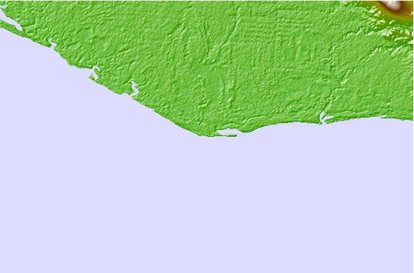
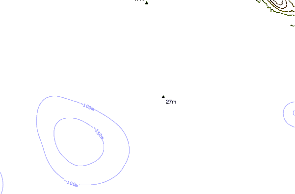
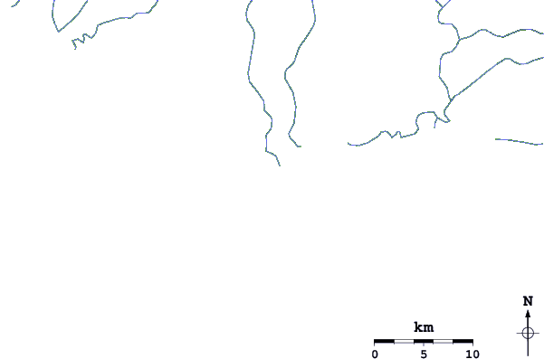
| Contours: | Roads & Rivers: | Select a
tide station / surf break / city |
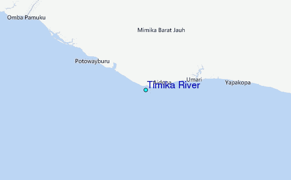
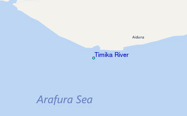
Use this relief map to navigate to tide stations, surf breaks and cities that are in the area of Timika River.
Other Nearby Locations' tide tables and tide charts to Timika River:
click location name for more details
 Surf breaks close to Timika River:
|
||
|---|---|---|
| Closest surf break | Wutung Village Reef | 421 mi |
| Second closest surf break | Lidos Right | 433 mi |
| Third closest surf break | Lidos Left | 434 mi |
| Fourth closest surf break | Logs | 438 mi |
| Fifth closest surf break | Jailbreak | 439 mi |


 Nearest
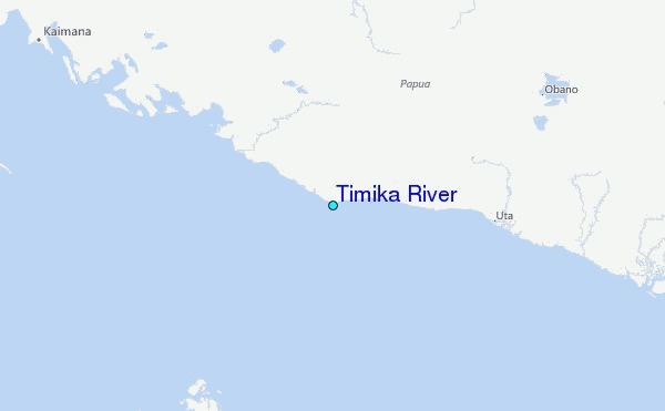