
| Distance / Altitude | Location | Report Date / Time | Live Weather | Wind | Gusts | Temp. | Visibility | Cloud |
|---|---|---|---|---|---|---|---|---|
| 83 km S / 89 m | Montería/Los Garzones Airport (Columbia) | 2026-02-25 18:00 local (2026/02/25 23:00 GMT) | - | calm (4 km/h at 1) | 31°C | 10.0 | few | |
| 100 km N / 201 m | Cartagena/Rafael Airport (Columbia) | 2026-02-25 18:00 local (2026/02/25 23:00 GMT) | - | light winds from the N.(Wind varies from 350 to 050 degs) (15 km/h at 10) | — | 0.0 | ||
| 102 km N / 6 m | Rafael Nuñez wx (Colombia) | 2026-02-25 19:39 local (2026/02/26 00:39 GMT) | - | wind obs. (24 kph from 262 degs) was rejected (- km/h at -) | 28°C | - | - - 0 | |
| 176 km NNE / 206 m | Barranquilla/Ernesto Cortissoz International Airport (Columbia) | 2026-02-25 18:00 local (2026/02/25 23:00 GMT) | - | moderate winds from the NNE (24 km/h at 30) | — | 0.0 | ||
| 223 km SW / 48 m | Puerto Obaldía wx (Panama) | 2026-02-25 19:33 local (2026/02/26 00:33 GMT) | dry | light winds from the NW (8 km/h at 325) | 26°C | - | - - 0 | |
| 229 km S / 78 m | Apartadó-Antonio Roldán Betancourt Airport (Columbia) | 2026-02-25 18:00 local (2026/02/25 23:00 GMT) | Shower - in the vicinity | moderate winds from the N (20 km/h at 350) | 28°C | 8.0 | scattered | |
| 231 km NE / 96 m | Santa Marta/Simón Bolívar International Airport (Columbia) | 2026-02-25 18:00 local (2026/02/25 23:00 GMT) | Dry and partly cloudy | moderate winds from the NNE (20 km/h at 20) | 30°C | 10.0 | scattered | |
| 236 km NE / 4 m | Gaira wx (Colombia) | 2026-02-25 19:10 local (2026/02/26 00:10 GMT) | dry | wind obs. (19 kph from 258 degs) was rejected (- km/h at -) | 29°C | - | - - 0 | |
| 243 km NE / 8 m | Barrio Cundi wx (Colombia) | 2026-02-25 19:35 local (2026/02/26 00:35 GMT) | dry | moderate winds from the ESE (27 km/h at 110) | 30°C | - | - - 0 | |
| 274 km ENE / 95 m | Valledupar/Aeropuerto Alfonso López Pumarejo Airport (Columbia) | 2026-02-25 18:00 local (2026/02/25 23:00 GMT) | Dry and partly cloudy | light winds from the ENE (19 km/h at 60) | 32°C | 10.0 | scattered |
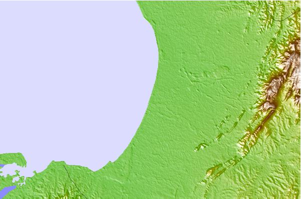
| Contours: | Roads & Rivers: | Select a
tide station / surf break / city |
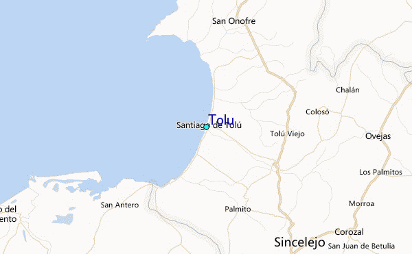
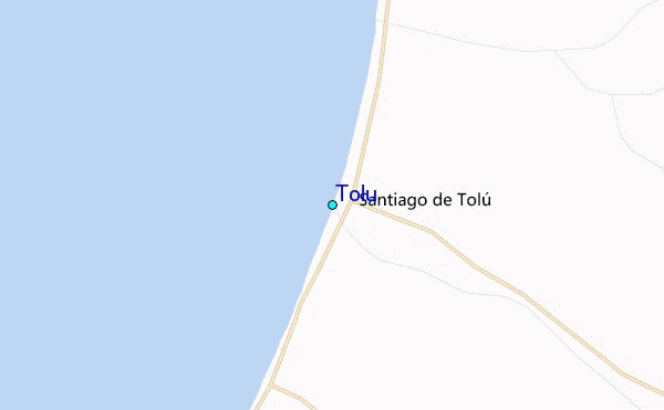
Use this relief map to navigate to tide stations, surf breaks and cities that are in the area of Tolu.
Other Nearby Locations' tide tables and tide charts to Tolu:
click location name for more details
 Surf breaks close to Tolu:
|
||
|---|---|---|
| Closest surf break | Miramar | 37 mi |
| Second closest surf break | Colpipe | 42 mi |
| Third closest surf break | Cartagena - Castillo Grande | 60 mi |
| Fourth closest surf break | Cartagena - Hilton | 60 mi |
| Fifth closest surf break | Cartagena - Jetty | 60 mi |


 Nearest