
| Distance / Altitude | Location | Report Date / Time | Live Weather | Wind | Gusts | Temp. | Visibility | Cloud |
|---|---|---|---|---|---|---|---|---|
| 12 km SSE / 15 m | SHIP6300 (Marine) | 2025-12-25 02:00 local (2025/12/25 09:00 GMT) | - (- km/h at -) | — | - km | |||
| 144 km NNE / 238 m | Choix- Sin. (Mexico) | 2025-12-25 02:00 local (2025/12/25 09:00 GMT) | - | - (- km/h at -) | — | 10 | - - - | |
| 218 km SSW / 25 m | La Paz (Mexico) | 2025-12-25 02:38 local (2025/12/25 09:38 GMT) | dry | - (- km/h at ) | — | - | - - 0 | |
| 282 km S / 246 m | Los Cabos International Airport/San José del Cabo (Mexico) | 2025-12-25 01:46 local (2025/12/25 08:46 GMT) | Dry and partly cloudy | wind obs. (11 kph from 260 degs) was rejected (- km/h at -) | 21°C | 16 | broken | |
| 285 km S / 20 m | San Jose Del Cabo (Mexico) | 2025-12-25 02:39 local (2025/12/25 09:39 GMT) | dry | wind obs. (13 kph from 321 degs) was rejected (- km/h at -) | 19°C | - | - - 0 | |
| 12 km SSE / 15 m | SHIP8962 (Marine) | 2025-12-25 01:00 local (2025/12/25 08:00 GMT) | - (- km/h at -) | — | - km | |||
| 132 km SSW / 15 m | SHIP8165 (Marine) | 2025-12-25 01:00 local (2025/12/25 08:00 GMT) | - (- km/h at -) | — | - km | |||
| 132 km SSW / 15 m | SHIP6893 (Marine) | 2025-12-25 01:00 local (2025/12/25 08:00 GMT) | - (- km/h at -) | — | - km | |||
| 132 km SSW / 15 m | SHIP3691 (Marine) | 2025-12-25 01:00 local (2025/12/25 08:00 GMT) | - (- km/h at -) | — | - km | |||
| 143 km NNE / 238 m | Choix- Sin. (Mexico) | 2025-12-25 02:00 local (2025/12/25 09:00 GMT) | - | - (- km/h at -) | — | 10 | - - - |
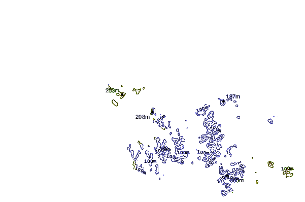
| Contours: | Roads & Rivers: | Select a
tide station / surf break / city |

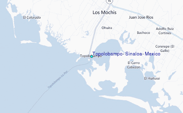
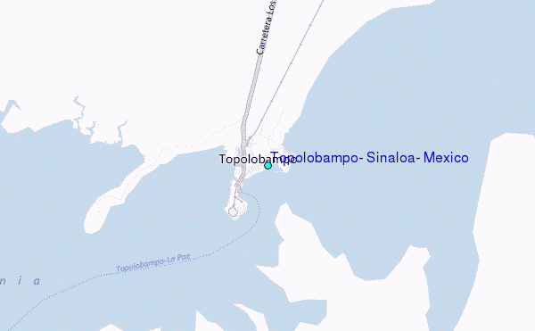
Use this relief map to navigate to tide stations, surf breaks and cities that are in the area of Topolobampo, Sinaloa, Mexico.
Other Nearby Locations' tide tables and tide charts to Topolobampo, Sinaloa, Mexico:
click location name for more details
 Surf breaks close to Topolobampo, Sinaloa, Mexico:
|
||
|---|---|---|
| Closest surf break | Punta Colorado | 142 mi |
| Second closest surf break | Punta Arenas | 144 mi |
| Third closest surf break | El Rincon | 149 mi |
| Fourth closest surf break | Cabo Pulmo | 150 mi |
| Fifth closest surf break | Los Frailes | 155 mi |


 Nearest
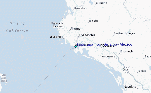