
| Distance / Altitude | Location | Report Date / Time | Live Weather | Wind | Gusts | Temp. | Visibility | Cloud |
|---|---|---|---|---|---|---|---|---|
| 30 km S / 224 m | Varanus Island (Australia) | 2026-05-04 21:00 local (2026/05/04 13:00 GMT) | no report | moderate winds from the E (20 km/h at 80) | 23°C | - | - no observation - | |
| 56 km S / 7 m | Barrow Island Airport (Australia) | 2026-05-04 20:00 local (2026/05/04 12:00 GMT) | no report | light winds from the NE (13 km/h at 50) | 22°C | - | - | |
| 56 km S / 7 m | Barrow Island Airport (Australia) | 2026-05-04 21:00 local (2026/05/04 13:00 GMT) | No report | light winds from the N (15 km/h at 360) | 23°C | - | - no observation - | |
| 79 km ENE / 15 m | hy2c116E20S (Marine) | 2026-05-04 19:13 local (2026/05/04 11:13 GMT) | moderate winds from the ENE (23 km/h at 72) | — | - km | |||
| 89 km W / 15 m | hy2c115E20S (Marine) | 2026-05-04 19:13 local (2026/05/04 11:13 GMT) | moderate winds from the ENE (28 km/h at 75) | — | - km | |||
| 98 km SSE / 240 m | Mardie (Australia) | 2026-05-04 20:00 local (2026/05/04 12:00 GMT) | no report | wind obs. (7 kph from 250 degs) was rejected (- km/h at -) | 24°C | - | - | |
| 110 km N / 15 m | hy2c115E19S (Marine) | 2026-05-04 19:12 local (2026/05/04 11:12 GMT) | fresh winds from the E (32 km/h at 85) | — | - km | |||
| 131 km SSW / 15 m | hy2c115E21S (Marine) | 2026-05-04 19:13 local (2026/05/04 11:13 GMT) | light winds from the NNE (18 km/h at 22) | — | - km | |||
| 131 km S / 6 m | ThevenardIsland (Australia) | 2026-05-04 21:00 local (2026/05/04 13:00 GMT) | no report | light winds from the N (13 km/h at 360) | 22°C | - | - no observation - | |
| 133 km ESE / 6 m | KarrathaAero (Australia) | 2026-05-04 21:00 local (2026/05/04 13:00 GMT) | no report | light winds from the E (17 km/h at 90) | 24°C | - | - no observation - |
| Contours: | Roads & Rivers: | Select a
tide station / surf break / city |
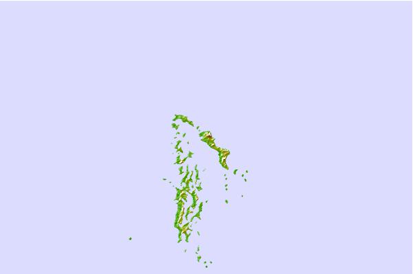
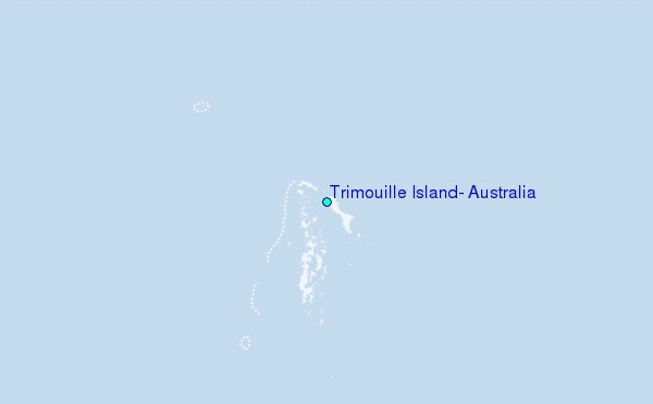
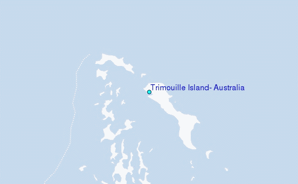
Use this relief map to navigate to tide stations, surf breaks and cities that are in the area of Trimouille Island, Australia.
Other Nearby Locations' tide tables and tide charts to Trimouille Island, Australia:
click location name for more details
 Surf breaks close to Trimouille Island, Australia:
|
||
|---|---|---|
| Closest surf break | Dunes | 134 mi |
| Second closest surf break | Lighthouse Bombie | 143 mi |
| Third closest surf break | Gnaraloo | 267 mi |
| Fourth closest surf break | Turtles | 282 mi |
| Fifth closest surf break | Red Bluff | 286 mi |


 Nearest
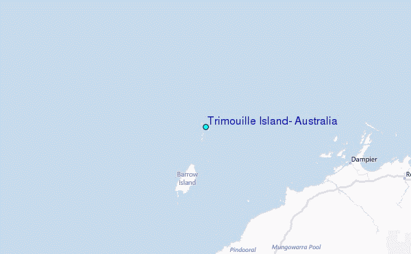