
| Distance / Altitude | Location | Report Date / Time | Live Weather | Wind | Gusts | Temp. | Visibility | Cloud |
|---|---|---|---|---|---|---|---|---|
| 5 km ENE / 3 m | BUOY-BFTN7 (Marine) | 2025-12-24 06:48 local (2025/12/24 11:48 GMT) | calm (2 km/h at 300) | — | - | |||
| 7 km ENE / 210 m | Beaufort Airport (North Carolina) | 2025-12-24 05:58 local (2025/12/24 10:58 GMT) | Clear | light winds from the W (9 km/h at 270) | 10°C | 16 | ||
| 20 km ESE / 3 m | BUOY-CLKN7 (Marine) | 2025-12-24 06:50 local (2025/12/24 11:50 GMT) | light winds from the W (13 km/h at 280) | 12°C | - | |||
| 25 km WNW / 213 m | Cherry Point Airport (North Carolina) | 2025-12-24 05:55 local (2025/12/24 10:55 GMT) | Clear | light winds from the W (6 km/h at 270) | 9°C | 16 | ||
| 28 km WSW / 204 m | Bogue/Swansboro Airport (North Carolina) | 2025-12-24 05:51 local (2025/12/24 10:51 GMT) | Clear | light winds from the WNW (7 km/h at 290) | 12°C | 13 | ||
| 51 km WNW / 218 m | New Bern Airport (North Carolina) | 2025-12-24 05:54 local (2025/12/24 10:54 GMT) | Clear | light winds from the W (9 km/h at 260) | 11°C | 16 | ||
| 58 km S / 3 m | BUOY-41064 (Marine) | 2025-12-24 06:08 local (2025/12/24 11:08 GMT) | fresh winds from the W (29 km/h at 280) | 16°C | - | |||
| 58 km S / 3 m | Onslow Bay Outer- NC (Marine) | 2025-12-24 06:56 local (2025/12/24 11:56 GMT) | - (- km/h at -) | — | - | |||
| 67 km WSW / 219 m | New River Marine Corps Air Station Airport (North Carolina) | 2025-12-24 05:56 local (2025/12/24 10:56 GMT) | - | light winds from the W (7 km/h at 280) | 9°C | 0.0 | ||
| 83 km WSW / 220 m | Jacksonville Airport (North Carolina) | 2025-12-24 06:38 local (2025/12/24 11:38 GMT) | - | light winds from the SW (7 km/h at 220) | 3°C | 0.0 |
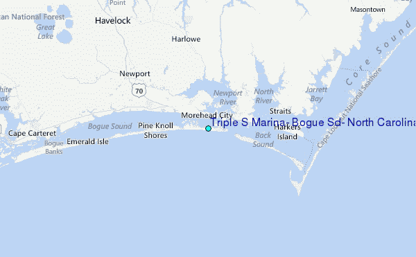
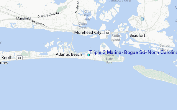
Choose Triple S Marina, Bogue Sd., North Carolina Location Map Zoom:
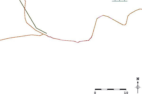
| Contours: | Roads & Rivers: | Select a
tide station / surf break / city |
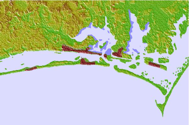

Use this relief map to navigate to tide stations, surf breaks and cities that are in the area of Triple S Marina, Bogue Sd., North Carolina.
Other Nearby Locations' tide tables and tide charts to Triple S Marina, Bogue Sd., North Carolina:
click location name for more details
 Surf breaks close to Triple S Marina, Bogue Sd., North Carolina:
|
||
|---|---|---|
| Closest surf break | Atlantic Beach | 1 mi |
| Second closest surf break | Triple S Pier | 1 mi |
| Third closest surf break | Shackleford Banks | 7 mi |
| Fourth closest surf break | Bogue Pier | 15 mi |
| Fifth closest surf break | The Point | 22 mi |


 Nearest
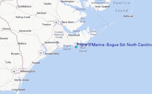