
| Distance / Altitude | Location | Report Date / Time | Live Weather | Wind | Gusts | Temp. | Visibility | Cloud |
|---|---|---|---|---|---|---|---|---|
| 424 km SSE / 54 m | Gough Island (South Africa) | 2026-04-01 03:00 local (2026/04/01 03:00 GMT) | rain | moderate winds from the SW (26 km/h at 230) | 12°C | 10 | - | |
| 1367 km E / 15 m | SHIP4890 (Marine) | 2026-04-01 03:00 local (2026/04/01 03:00 GMT) | moderate winds from the S (20.52 km/h at 170) | 17°C | - km | |||
| 1842 km ENE / 7 m | SAN MICHELLE (Italy) | 2026-04-01 04:00 local (2026/04/01 04:00 GMT) | - | wind obs. (4 kph from 353 degs) was rejected (- km/h at -) | — | - | - - 0 | |
| 1369 km E / 3 m | SHIP2132 (Marine) | 2026-04-01 03:00 local (2026/04/01 03:00 GMT) | moderate winds from the S (21 km/h at 170) | 17°C | - | |||
| 1369 km E / 3 m | SHIP3644 (Marine) | 2026-04-01 03:00 local (2026/04/01 03:00 GMT) | moderate winds from the S (21 km/h at 170) | 17°C | - | |||
| 1369 km E / 15 m | SHIP6366 (Marine) | 2026-04-01 03:00 local (2026/04/01 03:00 GMT) | moderate winds from the S (20.52 km/h at 170) | 17°C | - km | |||
| 1378 km E / 15 m | SHIP4657 (Marine) | 2026-04-01 04:00 local (2026/04/01 04:00 GMT) | light winds from the S (14.76 km/h at 170) | 17°C | - km | |||
| 1378 km E / 3 m | SHIP5434 (Marine) | 2026-04-01 04:00 local (2026/04/01 04:00 GMT) | light winds from the S (15 km/h at 170) | 17°C | - | |||
| 1378 km E / - m | SHIP1114 (ocean) | 2026-04-01 04:00 local (2026/04/01 04:00 GMT) | State of sky unchanged | light winds from the S (15 km/h at 170) | 17°C | - | overcast | |
| 1378 km E / - m | SHIP935 (ocean) | 2026-04-01 04:00 local (2026/04/01 04:00 GMT) | State of sky unchanged | light winds from the S (15 km/h at 170) | 17°C | - | overcast |
| Contours: | Roads & Rivers: | Select a
tide station / surf break / city |
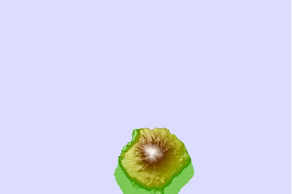
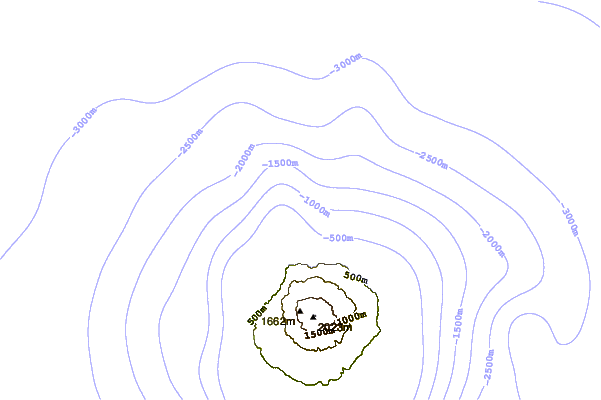
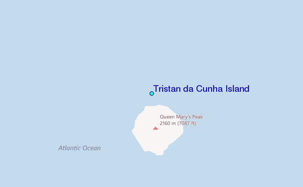
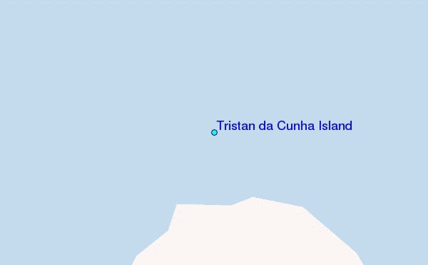
Use this relief map to navigate to tide stations, surf breaks and cities that are in the area of Tristan da Cunha Island.
Other Nearby Locations' tide tables and tide charts to Tristan da Cunha Island:
click location name for more details
 Surf breaks close to Tristan da Cunha Island:
|
||
|---|---|---|
| Closest surf break | Jacobs Bay | 1725 mi |
| Second closest surf break | Outer Kom | 1725 mi |
| Third closest surf break | The Boiler | 1725 mi |
| Fourth closest surf break | Boneyards | 1726 mi |
| Fifth closest surf break | I and Js | 1726 mi |


 Nearest
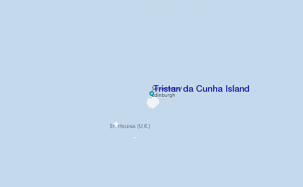