
| Distance / Altitude | Location | Report Date / Time | Live Weather | Wind | Gusts | Temp. | Visibility | Cloud |
|---|---|---|---|---|---|---|---|---|
| 1 km SSE / 6 m | Troy (New York) | 2026-01-19 01:02 local (2026/01/19 06:02 GMT) | - | calm (3 km/h at 90) | -4°C | - | - - 0 | |
| 5 km NE / 140 m | Sycaway wx (United States) | 2026-01-19 00:51 local (2026/01/19 05:51 GMT) | - | - (- km/h at ) | -4°C | - | - - 0 | |
| 6 km S / 69 m | Defreestville wx (United States) | 2026-01-18 23:37 local (2026/01/19 04:37 GMT) | - | calm (0 km/h at 0) | -4°C | - | - - 0 | |
| 7 km S / 128 m | Rensselaer (New York) | 2026-01-19 00:29 local (2026/01/19 05:29 GMT) | - | calm (0 km/h at 236) | -4°C | - | - - 0 | |
| 7 km NE / 165 m | Brunswick (New York) | 2026-01-19 01:15 local (2026/01/19 06:15 GMT) | - | calm (2 km/h at 227) | -5°C | - | - - 0 | |
| 8 km ESE / 154 m | Eagle Mills (New York) | 2026-01-19 01:02 local (2026/01/19 06:02 GMT) | - | calm (3 km/h at 295) | -5°C | - | - - 0 | |
| 8 km W / 218 m | Albany Airport (New York) | 2026-01-19 00:31 local (2026/01/19 05:31 GMT) | Light snow | light winds from the WNW (15 km/h at 290) | -4°C | 13 | scattered broken overcast | |
| 10 km SSW / 73 m | Albany (New York) | 2026-01-19 00:14 local (2026/01/19 05:14 GMT) | - | calm (2 km/h at 242) | -4°C | - | - - 0 | |
| 12 km S / 60 m | Albany (New York) | 2026-01-19 00:48 local (2026/01/19 05:48 GMT) | - | calm (3 km/h at 292) | -4°C | - | - - 0 | |
| 12 km NW / 88.4 m | Clifton Park (New York) | 2026-01-19 00:49 local (2026/01/19 05:49 GMT) | dry | - (- km/h at ) | — | - | - - 0 |
| Contours: | Roads & Rivers: | Select a
tide station / surf break / city |
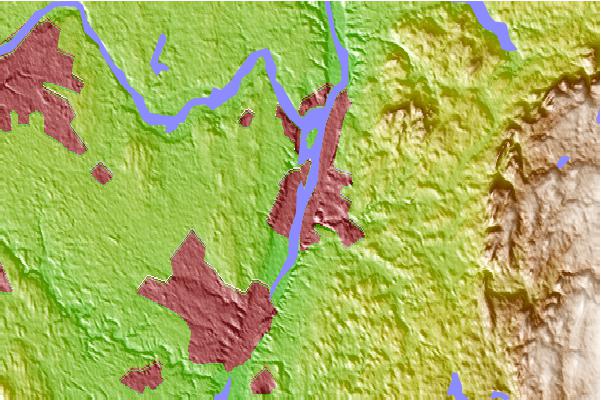
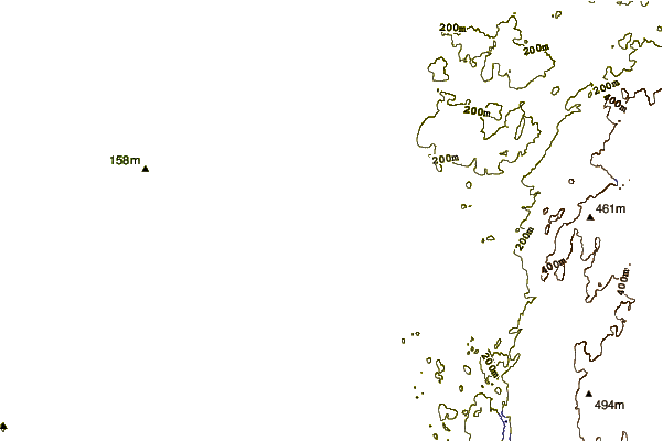
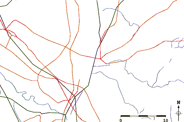
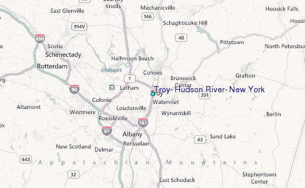
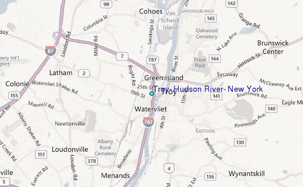
Use this relief map to navigate to tide stations, surf breaks and cities that are in the area of Troy, Hudson River, New York.
Other Nearby Locations' tide tables and tide charts to Troy, Hudson River, New York:
click location name for more details
 Surf breaks close to Troy, Hudson River, New York:
|
||
|---|---|---|
| Closest surf break | Breachway | 136 mi |
| Second closest surf break | Napatree Jetty | 136 mi |
| Third closest surf break | East Beach Lighthouse | 137 mi |
| Fourth closest surf break | Misquamicut State Beach | 138 mi |
| Fifth closest surf break | Fenway Beach | 139 mi |


 Nearest
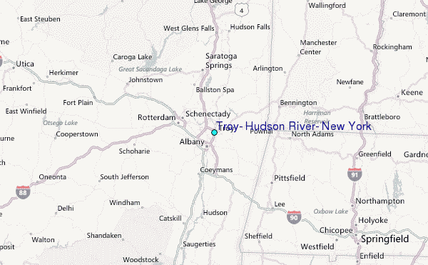