
| Distance / Altitude | Location | Report Date / Time | Live Weather | Wind | Gusts | Temp. | Visibility | Cloud |
|---|---|---|---|---|---|---|---|---|
| 56 km W / 2 m | Preguicas (Brazil) | 2026-05-14 09:00 local (2026/05/14 12:00 GMT) | no report | - (- km/h at -) | 27°C | - | - | |
| 57 km ESE / 502 m | Parnaiba Airport (Brazil) | 2026-05-14 09:00 local (2026/05/14 12:00 GMT) | Dry and partly cloudy | calm (4 km/h at 150) | 28°C | 10.0 | few broken | |
| 61 km SE / 58 m | Parnaiba (81752 -0) (Brazil) | 2026-05-14 09:00 local (2026/05/14 12:00 GMT) | no report | light winds from the ESE (7 km/h at 120) | 25°C | - | - | |
| 166 km SSW / 92 m | Chapadinha (Brazil) | 2026-05-14 09:00 local (2026/05/14 12:00 GMT) | no report | wind obs. (7 kph from 60 degs) was rejected (- km/h at -) | 25°C | - | - - - | |
| 166 km SSW / 92 m | Chapadinha (81749 -0) (Brazil) | 2026-05-14 09:00 local (2026/05/14 12:00 GMT) | no report | light winds from the ENE (7 km/h at 60) | 25°C | - | - | |
| 176 km SSE / 162 m | Piripiri (Brazil) | 2026-05-14 09:00 local (2026/05/14 12:00 GMT) | no report | calm (4 km/h at 30) | 23°C | - | - - - | |
| 176 km SSE / 162 m | Piripiri (81794 -0) (Brazil) | 2026-05-14 09:00 local (2026/05/14 12:00 GMT) | no report | calm (4 km/h at 30) | 23°C | - | - | |
| 209 km E / 27 m | Comte. Ariston Pessoa Regional Airport - Jericoacoara (Brazil) | 2026-05-14 09:30 local (2026/05/14 12:30 GMT) | - | light winds from the E (9 km/h at 100) | 27°C | 10.0 | few | |
| 221 km WSW / 216 m | Aeroporto Internacional de São Luís - Marechal (Brazil) | 2026-05-14 09:00 local (2026/05/14 12:00 GMT) | Dry and partly cloudy | light winds from the W (6 km/h at 280) | 27°C | 10.0 | scattered scattered broken | |
| 222 km WSW / 58 m | São Luís (Brazil) | 2026-05-14 09:00 local (2026/05/14 12:00 GMT) | no report | calm (4 km/h at 300) | 25°C | - | - |
| Contours: | Roads & Rivers: | Select a
tide station / surf break / city |
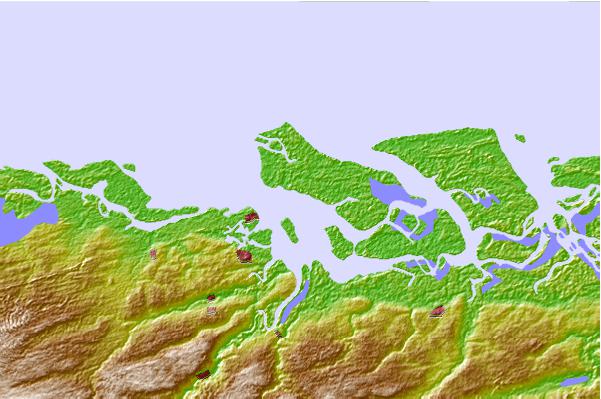
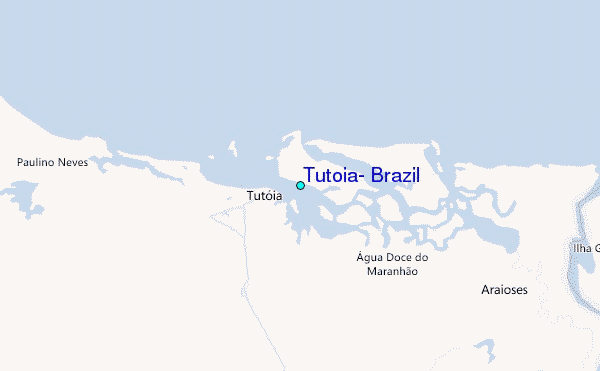
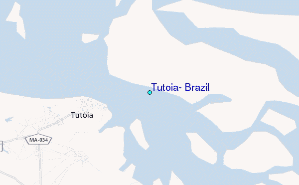
Use this relief map to navigate to tide stations, surf breaks and cities that are in the area of Tutoia, Brazil.
Other Nearby Locations' tide tables and tide charts to Tutoia, Brazil:
click location name for more details
 Surf breaks close to Tutoia, Brazil:
|
||
|---|---|---|
| Closest surf break | Pontal | 30 mi |
| Second closest surf break | Curvao | 34 mi |
| Third closest surf break | Mar Bravo | 35 mi |
| Fourth closest surf break | Atins | 37 mi |
| Fifth closest surf break | Casa Verde | 43 mi |


 Nearest
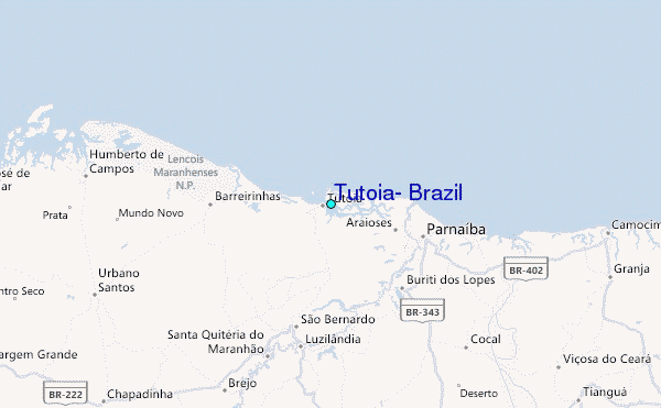