
| Distance / Altitude | Location | Report Date / Time | Live Weather | Wind | Gusts | Temp. | Visibility | Cloud |
|---|---|---|---|---|---|---|---|---|
| 21 km W / 3 m | BUOY-DPLA2 (Marine) | 2026-06-30 17:02 local (2026/07/01 01:02 GMT) | moderate winds from the SSW (28 km/h at 210) | 13°C | - | |||
| 22 km W / 209 m | Dutch Harbor Airport (Alaska) | 2026-06-30 15:56 local (2026/06/30 23:56 GMT) | Dry and partly cloudy | wind obs. (11 kph from 90 degs) was rejected (- km/h at -) | 12°C | 16 | broken | |
| 22 km W / 3 m | BUOY-UNLA2 (Marine) | 2026-06-30 16:48 local (2026/07/01 00:48 GMT) | light winds from the SW (17 km/h at 220) | — | - | |||
| 22 km W / 3 m | BUOY-DPXA2 (Marine) | 2026-06-30 17:02 local (2026/07/01 01:02 GMT) | light winds from the SW (17 km/h at 220) | 14°C | - | |||
| 24 km WSW / 3 m | BUOY-CPXA2 (Marine) | 2026-06-30 17:02 local (2026/07/01 01:02 GMT) | fresh winds from the S (33 km/h at 190) | 13°C | - | |||
| 44 km NE / 3 m | BUOY-AKXA2 (Marine) | 2026-06-30 17:02 local (2026/07/01 01:02 GMT) | light winds from the E (9 km/h at 80) | 9°C | - | |||
| 200 km SW / 3 m | BUOY-NKLA2 (Marine) | 2026-06-30 17:02 local (2026/07/01 01:02 GMT) | strong winds from the SW (42 km/h at 220) | 7°C | - | |||
| 203 km SW / 3 m | BUOY-OLSA2 (Marine) | 2026-06-30 16:48 local (2026/07/01 00:48 GMT) | strong winds from the WSW (41 km/h at 240) | 10°C | - | |||
| 214 km ENE / 6 m | False Pass Airport (Alaska) | 2026-06-30 16:24 local (2026/07/01 00:24 GMT) | Light rain | light winds from the SSE.(Wind varies from 004 to 008 degs) (19 km/h at 150) | 10°C | 6 | overcast | |
| 273 km NE / 161 m | Cold Bay Airport (Alaska) | 2026-06-30 15:53 local (2026/06/30 23:53 GMT) | Dry and cloudy | strong winds from the SSE (41 km/h at 160) | 13°C | 16 | few scattered overcast |
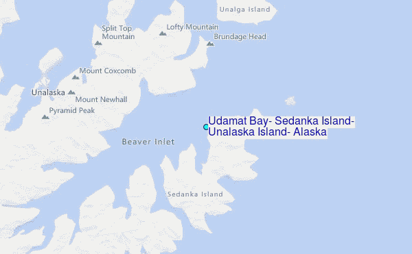
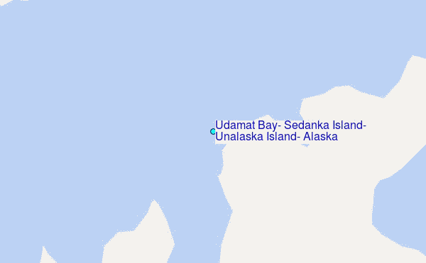
Choose Udamat Bay, Sedanka Island, Unalaska Island, Alaska Location Map Zoom:
| Contours: | Roads & Rivers: | Select a
tide station / surf break / city |
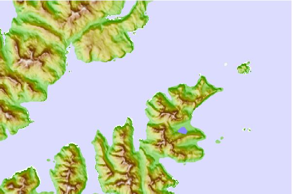
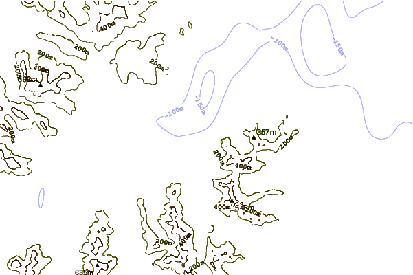
Use this relief map to navigate to tide stations, surf breaks and cities that are in the area of Udamat Bay, Sedanka Island, Unalaska Island, Alaska.
Other Nearby Locations' tide tables and tide charts to Udamat Bay, Sedanka Island, Unalaska Island, Alaska:
click location name for more details
 Surf breaks close to Udamat Bay, Sedanka Island, Unalaska Island, Alaska:
|
||
|---|---|---|
| Closest surf break | Fossil Beach Kodiak | 594 mi |
| Second closest surf break | Monashka Bay | 601 mi |
| Third closest surf break | Termination Point | 602 mi |
| Fourth closest surf break | Mill Bay | 603 mi |
| Fifth closest surf break | Bird Point (Tidal Bore) | 728 mi |


 Nearest
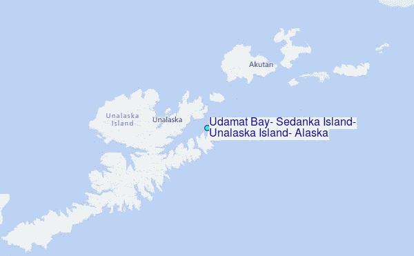