
| Distance / Altitude | Location | Report Date / Time | Live Weather | Wind | Gusts | Temp. | Visibility | Cloud |
|---|---|---|---|---|---|---|---|---|
| 17 km ENE / 217 m | Hasanuddin/Ujung Airport (Indonesia) | 2026-04-01 21:30 local (2026/04/01 13:30 GMT) | - | light winds from the E (9 km/h at 100) | 27°C | 8.0 | few | |
| 19 km ENE / 14 m | UjungPandangHasanuddin (Indonesia) | 2026-04-01 22:00 local (2026/04/01 14:00 GMT) | - | calm (2 km/h at 100) | 28°C | 28 km | scattered | |
| 81 km SSW / 15 m | ASCATB119E6S (Marine) | 2026-04-01 20:46 local (2026/04/01 12:46 GMT) | fresh winds from the SE (30 km/h at 131) | — | - km | |||
| 113 km SE / 15 m | ASCATB120E6S (Marine) | 2026-04-01 20:46 local (2026/04/01 12:46 GMT) | moderate winds from the E (22 km/h at 85) | — | - km | |||
| 113 km WNW / 15 m | ASCATB119E5S (Marine) | 2026-04-01 20:46 local (2026/04/01 12:46 GMT) | light winds from the S (19 km/h at 171) | — | - km | |||
| 151 km S / 15 m | ASCATB119E7S (Marine) | 2026-04-01 20:46 local (2026/04/01 12:46 GMT) | moderate winds from the ESE (25 km/h at 101) | — | - km | |||
| 167 km SSE / 15 m | ASCATB120E7S (Marine) | 2026-04-01 20:46 local (2026/04/01 12:46 GMT) | moderate winds from the ESE (21 km/h at 101) | — | - km | |||
| 196 km NW / 15 m | ASCATB119E4S (Marine) | 2026-04-01 20:47 local (2026/04/01 12:47 GMT) | light winds from the S (18 km/h at 173) | — | - km | |||
| 209 km SW / 15 m | ASCATB118E6S (Marine) | 2026-04-01 20:46 local (2026/04/01 12:46 GMT) | moderate winds from the SE (24 km/h at 129) | — | - km | |||
| 215 km W / 15 m | ASCATB118E5S (Marine) | 2026-04-01 20:46 local (2026/04/01 12:46 GMT) | moderate winds from the SE (23 km/h at 143) | — | - km |
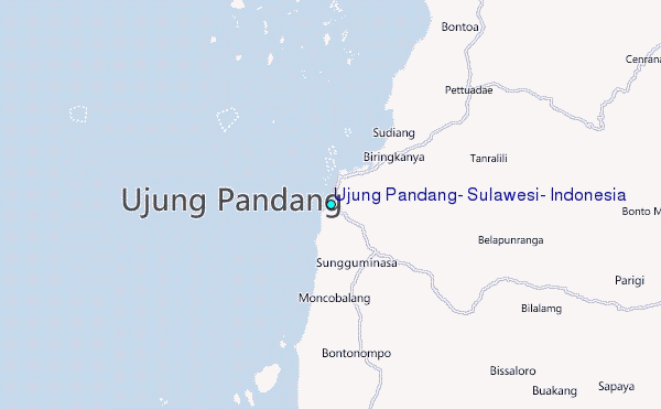
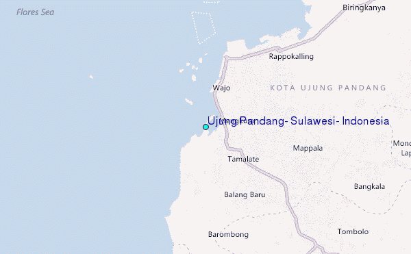
Choose Ujung Pandang, Sulawesi, Indonesia Location Map Zoom:
| Contours: | Roads & Rivers: | Select a
tide station / surf break / city |
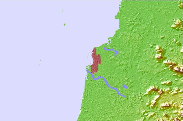
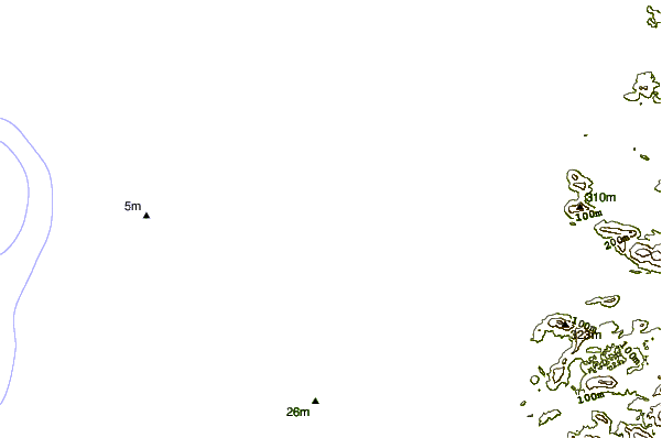
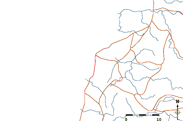
Use this relief map to navigate to tide stations, surf breaks and cities that are in the area of Ujung Pandang, Sulawesi, Indonesia.
Other Nearby Locations' tide tables and tide charts to Ujung Pandang, Sulawesi, Indonesia:
click location name for more details
 Surf breaks close to Ujung Pandang, Sulawesi, Indonesia:
|
||
|---|---|---|
| Closest surf break | Periscope Point | 260 mi |
| Second closest surf break | Nungas | 261 mi |
| Third closest surf break | Lakey Peak | 262 mi |
| Fourth closest surf break | Lakey Pipe | 262 mi |
| Fifth closest surf break | Cobblestones | 264 mi |


 Nearest