
| Distance / Altitude | Location | Report Date / Time | Live Weather | Wind | Gusts | Temp. | Visibility | Cloud |
|---|---|---|---|---|---|---|---|---|
| 17 km N / 15 m | SHIP8737 (Marine) | 2026-05-03 15:00 local (2026/05/03 23:00 GMT) | light winds from the ESE (11.16 km/h at 120) | — | - km | |||
| 17 km S / 3 m | BUOY-SPXA2 (Marine) | 2026-05-03 16:32 local (2026/05/04 00:32 GMT) | moderate winds from the NW (26 km/h at 310) | 12°C | - | |||
| 39 km SSE / 3 m | BUOY-GIXA2 (Marine) | 2026-05-03 16:32 local (2026/05/04 00:32 GMT) | light winds from the W (11 km/h at 270) | 12°C | - | |||
| 46 km WNW / 3 m | BUOY-LCNA2 (Marine) | 2026-05-03 16:10 local (2026/05/04 00:10 GMT) | light winds from the NW (13 km/h at 310) | 13°C | - | |||
| 49 km SE / 3 m | BUOY-WCXA2 (Marine) | 2026-05-03 16:32 local (2026/05/04 00:32 GMT) | light winds from the SW (11 km/h at 230) | 15°C | - | |||
| 18 km NW / 15 m | SHIP3323 (Marine) | 2026-05-03 14:00 local (2026/05/03 22:00 GMT) | light winds from the E (9.360000000000001 km/h at 90) | — | - km | |||
| 18 km NW / 15 m | SHIP7956 (Marine) | 2026-05-03 14:00 local (2026/05/03 22:00 GMT) | light winds from the SE (7.5600000000000005 km/h at 130) | — | - km | |||
| 18 km NW / 15 m | SHIP9078 (Marine) | 2026-05-03 14:00 local (2026/05/03 22:00 GMT) | light winds from the SE (7.5600000000000005 km/h at 130) | — | - km | |||
| 18 km NW / 15 m | SHIP4891 (Marine) | 2026-05-03 14:00 local (2026/05/03 22:00 GMT) | light winds from the SE (7.5600000000000005 km/h at 130) | — | - km | |||
| 29 km SSE / 15 m | SHIP3861 (Marine) | 2026-05-03 15:00 local (2026/05/03 23:00 GMT) | fresh winds from the WNW (38.88 km/h at 300) | — | - km |
| Contours: | Roads & Rivers: | Select a
tide station / surf break / city |
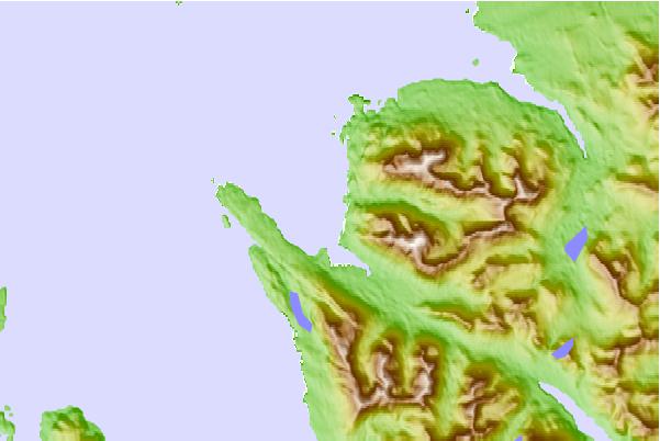
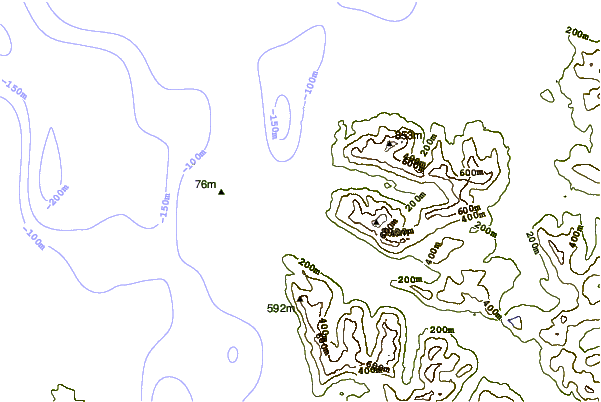
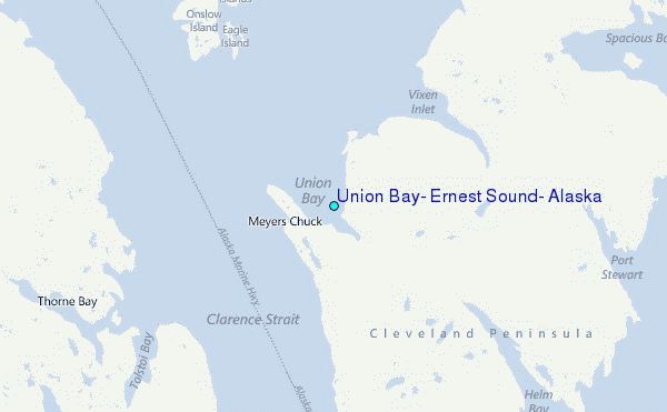
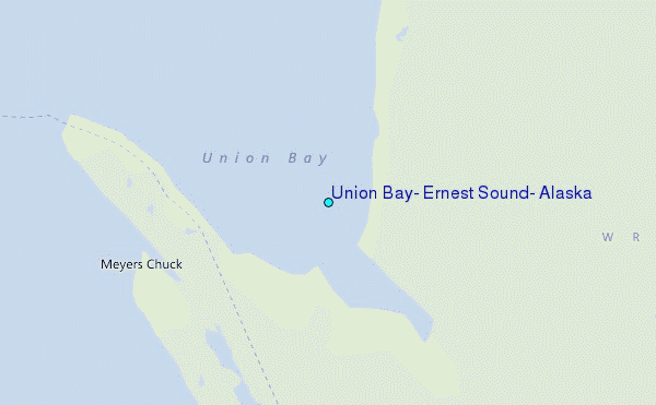
Use this relief map to navigate to tide stations, surf breaks and cities that are in the area of Union Bay, Ernest Sound, Alaska.
Other Nearby Locations' tide tables and tide charts to Union Bay, Ernest Sound, Alaska:
click location name for more details
 Surf breaks close to Union Bay, Ernest Sound, Alaska:
|
||
|---|---|---|
| Closest surf break | Lepus Beach (Haida-Gwaii) | 114 mi |
| Second closest surf break | Tow Hill Beach | 117 mi |
| Third closest surf break | Cannon Beach | 381 mi |
| Fourth closest surf break | Graveyards | 385 mi |
| Fifth closest surf break | Ocean Cape | 386 mi |


 Nearest
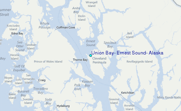