
| Distance / Altitude | Location | Report Date / Time | Live Weather | Wind | Gusts | Temp. | Visibility | Cloud |
|---|---|---|---|---|---|---|---|---|
| 10 km SSE / 3 m | BUOY-NCDV2 (Marine) | 2026-05-03 09:30 local (2026/05/03 13:30 GMT) | light winds from the NNW (8 km/h at 330) | 10°C | - | |||
| 21 km W / 219 m | Quantico Marine Corps Air Facility Airport (Virginia) | 2026-05-03 08:56 local (2026/05/03 12:56 GMT) | Clear | light winds from the WNW (17 km/h at 300) | 9°C | 14 | ||
| 32 km WSW / 217 m | Stafford Regional Airport (Virginia) | 2026-05-03 09:35 local (2026/05/03 13:35 GMT) | Dry and partly cloudy | light winds from the NW (13 km/h at 320) | 10°C | 16 | scattered | |
| 35 km SW / 219 m | Fredericksburg/Shannon Airport (Virginia) | 2026-05-03 09:35 local (2026/05/03 13:35 GMT) | Dry and partly cloudy | light winds from the NNW.(Wind varies from 300 to 360 degs) (15 km/h at 330) | 10°C | 16 | scattered scattered | |
| 36 km NW / 218 m | Fort Belvoir/Davison Airport (Virginia) | 2026-05-03 08:55 local (2026/05/03 12:55 GMT) | Clear | light winds from the NW (15 km/h at 320) | 10°C | 16 | ||
| 48 km E / 44 m | St. Mary's County Regional Airport (Maryland) (Maryland) | 2026-05-03 09:35 local (2026/05/03 13:35 GMT) | Clear | light winds from the NW.(Wind varies from 270 to 360 degs) (15 km/h at 310) | 9°C | 13 | ||
| 50 km N / 218 m | Washington/National Airport (Washington D.c.) | 2026-05-03 08:52 local (2026/05/03 12:52 GMT) | - | fresh winds from the NNW (30 km/h at 330) | 9°C | 16 | few | |
| 50 km NNE / 217 m | Andrews Air Force Base Airport (Maryland) | 2026-05-03 08:55 local (2026/05/03 12:55 GMT) | Clear | moderate winds from the NW (26 km/h at 310) | 10°C | 16 | ||
| 52 km N / 3 m | BUOY-WASD2 (Marine) | 2026-05-03 09:30 local (2026/05/03 13:30 GMT) | light winds from the WNW (15 km/h at 300) | 10°C | - | |||
| 52 km WNW / 206 m | Manassas Municipal Airport (Virginia) | 2026-05-03 08:56 local (2026/05/03 12:56 GMT) | - | moderate winds from the WNW (22 km/h at 300) | 10°C | 16 | few |
| Contours: | Roads & Rivers: | Select a
tide station / surf break / city |
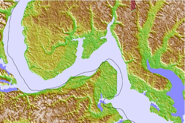
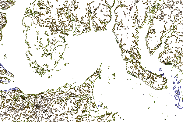
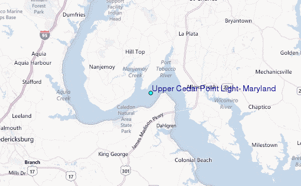
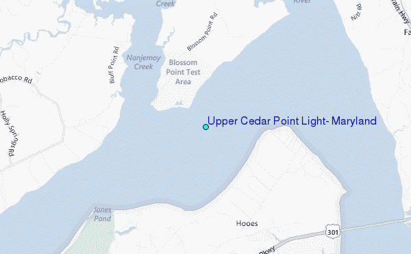
Use this relief map to navigate to tide stations, surf breaks and cities that are in the area of Upper Cedar Point Light, Maryland.
Other Nearby Locations' tide tables and tide charts to Upper Cedar Point Light, Maryland:
click location name for more details
 Surf breaks close to Upper Cedar Point Light, Maryland:
|
||
|---|---|---|
| Closest surf break | Chincoteague | 101 mi |
| Second closest surf break | Grandview | 101 mi |
| Third closest surf break | Out Front | 101 mi |
| Fourth closest surf break | Assateague | 106 mi |
| Fifth closest surf break | North Assateague (The Wedge) | 108 mi |


 Nearest
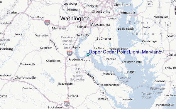