
| Distance / Altitude | Location | Report Date / Time | Live Weather | Wind | Gusts | Temp. | Visibility | Cloud |
|---|---|---|---|---|---|---|---|---|
| 12 km WSW / 3 m | BUOY-PKYF1 (Marine) | 2026-02-20 17:00 local (2026/02/20 22:00 GMT) | - (- km/h at -) | — | - | |||
| 14 km NW / 3 m | BUOY-BOBF1 (Marine) | 2026-02-20 17:00 local (2026/02/20 22:00 GMT) | - (- km/h at -) | — | - | |||
| 20 km NW / 3 m | BUOY-WRBF1 (Marine) | 2026-02-20 17:00 local (2026/02/20 22:00 GMT) | - (5 km/h at -) | — | - | |||
| 21 km W / 3 m | BUOY-LRKF1 (Marine) | 2026-02-20 17:00 local (2026/02/20 22:00 GMT) | - (- km/h at -) | — | - | |||
| 22 km NNE / 3 m | BUOY-BNKF1 (Marine) | 2026-02-20 17:00 local (2026/02/20 22:00 GMT) | - (- km/h at -) | — | - | |||
| 25 km SW / 3 m | BUOY-LONF1 (Marine) | 2026-02-20 19:20 local (2026/02/21 00:20 GMT) | - (- km/h at -) | 24°C | - | |||
| 29 km N / 3 m | BUOY-LMDF1 (Marine) | 2026-02-20 17:00 local (2026/02/20 22:00 GMT) | - (- km/h at -) | — | - | |||
| 29 km NW / 3 m | BUOY-TBYF1 (Marine) | 2026-02-20 17:00 local (2026/02/20 22:00 GMT) | - (- km/h at -) | — | - | |||
| 30 km WNW / 3 m | BUOY-BKYF1 (Marine) | 2026-02-20 17:00 local (2026/02/20 22:00 GMT) | - (- km/h at -) | — | - | |||
| 31 km W / 3 m | BUOY-JKYF1 (Marine) | 2026-02-20 17:00 local (2026/02/20 22:00 GMT) | - (- km/h at -) | — | - |
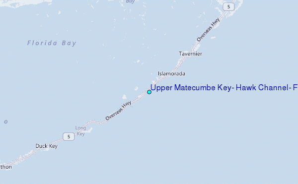
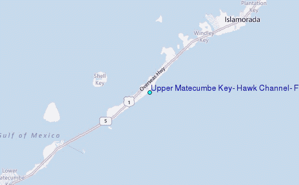
Choose Upper Matecumbe Key, Hawk Channel, Florida Location Map Zoom:
| Contours: | Roads & Rivers: | Select a
tide station / surf break / city |
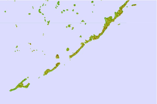
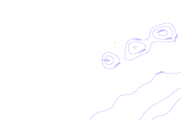
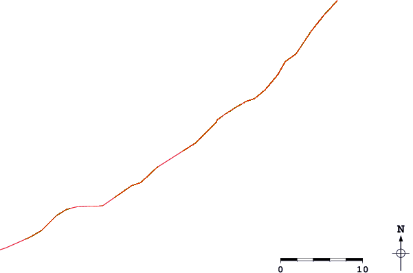
Use this relief map to navigate to tide stations, surf breaks and cities that are in the area of Upper Matecumbe Key, Hawk Channel, Florida.
Other Nearby Locations' tide tables and tide charts to Upper Matecumbe Key, Hawk Channel, Florida:
click location name for more details
 Surf breaks close to Upper Matecumbe Key, Hawk Channel, Florida:
|
||
|---|---|---|
| Closest surf break | South Beach (Miami) | 67 mi |
| Second closest surf break | Fifth Street (Miami) | 68 mi |
| Third closest surf break | 21st Street (Miami) | 69 mi |
| Fourth closest surf break | Dunes Hotel (Miami) | 70 mi |
| Fifth closest surf break | Harbor House | 75 mi |


 Nearest
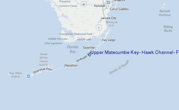