
| Distance / Altitude | Location | Report Date / Time | Live Weather | Wind | Gusts | Temp. | Visibility | Cloud |
|---|---|---|---|---|---|---|---|---|
| 31 km NNE / 34 m | Shark Bay Airport (Australia) | 2026-02-07 08:00 local (2026/02/07 00:00 GMT) | - | wind obs. (13 kph from 110 degs) was rejected (- km/h at -) | — | - | - | |
| 141 km ESE / 117 m | Billabong Asa (Australia) | 2026-02-07 08:00 local (2026/02/07 00:00 GMT) | no report | - (- km/h at -) | — | - | - | |
| 142 km N / 7 m | Carnarvon Airport (Australia) | 2026-02-07 08:00 local (2026/02/07 00:00 GMT) | no report | light winds from the ESE (17 km/h at 120) | 18°C | - | - | |
| 242 km S / 3 m | North Island (Australia) | 2026-02-07 08:00 local (2026/02/07 00:00 GMT) | no report | light winds from the E (19 km/h at 100) | 18°C | - | - | |
| 286 km S / 15 m | SHIP3693 (Marine) | 2026-02-07 06:00 local (2026/02/06 22:00 GMT) | strong winds from the S (50.04 km/h at 170) | — | - km | |||
| 285 km S / 15 m | SHIP8025 (Marine) | 2026-02-07 06:00 local (2026/02/06 22:00 GMT) | strong winds from the S (50.04 km/h at 170) | — | - km | |||
| 285 km S / 15 m | SHIP8511 (Marine) | 2026-02-07 06:00 local (2026/02/06 22:00 GMT) | strong winds from the S (50.04 km/h at 170) | — | - km | |||
| 285 km S / 15 m | SHIP4187 (Marine) | 2026-02-07 06:00 local (2026/02/06 22:00 GMT) | strong winds from the S (50.04 km/h at 170) | — | - km | |||
| 285 km S / 15 m | SHIP3170 (Marine) | 2026-02-07 06:00 local (2026/02/06 22:00 GMT) | strong winds from the S (50.04 km/h at 170) | — | - km | |||
| 320 km SSE / 34 m | Geraldton Airport (Australia) | 2026-02-07 07:00 local (2026/02/06 23:00 GMT) | no report | light winds from the SSE (17 km/h at 160) | 23°C | - | - no observation - |
| Contours: | Roads & Rivers: | Select a
tide station / surf break / city |
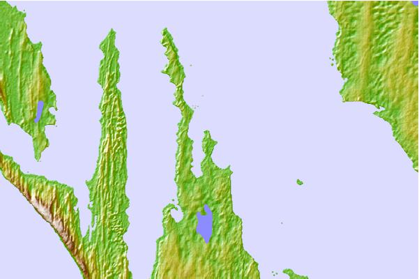
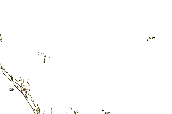
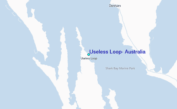
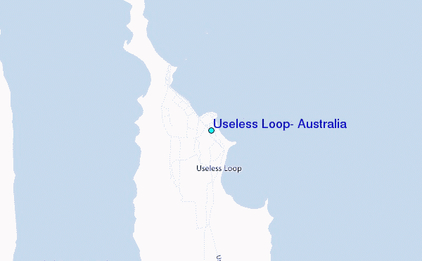
Use this relief map to navigate to tide stations, surf breaks and cities that are in the area of Useless Loop, Australia.
Other Nearby Locations' tide tables and tide charts to Useless Loop, Australia:
click location name for more details
 Surf breaks close to Useless Loop, Australia:
|
||
|---|---|---|
| Closest surf break | Dirk Hartog Island | 12 mi |
| Second closest surf break | Steep Point | 16 mi |
| Third closest surf break | Blue Holes | 119 mi |
| Fourth closest surf break | Jakes | 119 mi |
| Fifth closest surf break | Red Bluff | 145 mi |


 Nearest
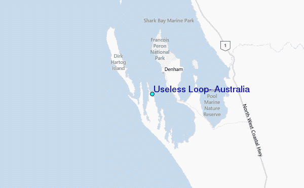