
| Distance / Altitude | Location | Report Date / Time | Live Weather | Wind | Gusts | Temp. | Visibility | Cloud |
|---|---|---|---|---|---|---|---|---|
| 39 km NNE / 3 m | BUOY-CPXA2 (Marine) | 2026-04-19 17:32 local (2026/04/20 01:32 GMT) | strong winds from the SSW (41 km/h at 200) | 6°C | - | |||
| 44 km NNE / 3 m | BUOY-DPLA2 (Marine) | 2026-04-19 17:32 local (2026/04/20 01:32 GMT) | strong winds from the SSW (39 km/h at 210) | 6°C | - | |||
| 44 km NNE / 3 m | BUOY-UNLA2 (Marine) | 2026-04-19 17:00 local (2026/04/20 01:00 GMT) | fresh winds from the WSW (32 km/h at 240) | — | - | |||
| 45 km NNE / 3 m | BUOY-DPXA2 (Marine) | 2026-04-19 17:32 local (2026/04/20 01:32 GMT) | moderate winds from the S (21 km/h at 180) | 7°C | - | |||
| 46 km NNE / 209 m | Dutch Harbor Airport (Alaska) | 2026-04-19 16:14 local (2026/04/20 00:14 GMT) | Light rain | fresh winds from the S (35 km/h at 180) | 6°C | 16 | overcast | |
| 96 km NE / 3 m | BUOY-AKXA2 (Marine) | 2026-04-19 17:32 local (2026/04/20 01:32 GMT) | light winds from the WSW (15 km/h at 240) | 5°C | - | |||
| 325 km NE / 161 m | Cold Bay Airport (Alaska) | 2026-04-19 15:53 local (2026/04/19 23:53 GMT) | Dry and cloudy | light winds from the SW (17 km/h at 220) | 7°C | 16 | broken overcast | |
| 338 km ENE / 3 m | BUOY-KGCA2 (Marine) | 2026-04-19 17:00 local (2026/04/20 01:00 GMT) | fresh winds from the S (37 km/h at 170) | 4°C | - | |||
| 345 km ENE / 47 m | King Cove Airport (Alabama) (Alaska) | 2026-04-19 15:56 local (2026/04/19 23:56 GMT) | Dry and cloudy | fresh winds from the SSW (35 km/h at 210) | 4°C | 13 | overcast | |
| 385 km NW / 3 m | BUOY-SGXA2 (Marine) | 2026-04-19 17:32 local (2026/04/20 01:32 GMT) | near gales from the SSW (55 km/h at 210) | 3°C | - |
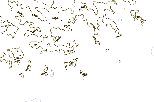
| Contours: | Roads & Rivers: | Select a
tide station / surf break / city |
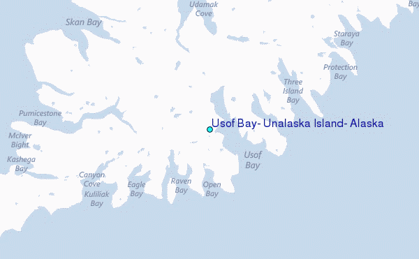
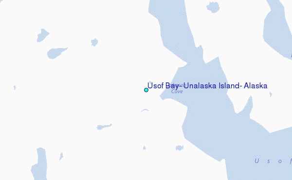
Use this relief map to navigate to tide stations, surf breaks and cities that are in the area of Usof Bay, Unalaska Island, Alaska.
Other Nearby Locations' tide tables and tide charts to Usof Bay, Unalaska Island, Alaska:
click location name for more details
 Surf breaks close to Usof Bay, Unalaska Island, Alaska:
|
||
|---|---|---|
| Closest surf break | Fossil Beach Kodiak | 626 mi |
| Second closest surf break | Monashka Bay | 633 mi |
| Third closest surf break | Termination Point | 635 mi |
| Fourth closest surf break | Mill Bay | 635 mi |
| Fifth closest surf break | Bird Point (Tidal Bore) | 760 mi |


 Nearest
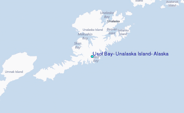