
| Distance / Altitude | Location | Report Date / Time | Live Weather | Wind | Gusts | Temp. | Visibility | Cloud |
|---|---|---|---|---|---|---|---|---|
| 45 km NNE / 2 m | Muan International Airport (Korea) | 2025-12-21 04:00 local (2025/12/20 19:00 GMT) | - | fresh winds from the N (30 km/h at 350) | 5°C | 10.0 | ||
| 50 km W / 15 m | SHIP7794 (Marine) | 2025-12-21 03:00 local (2025/12/20 18:00 GMT) | strong winds from the N (50.4 km/h at 350) | 11°C | - km | |||
| 50 km W / 3 m | West of Biguemodo- South Korea (Marine) | 2025-12-21 04:00 local (2025/12/20 19:00 GMT) | strong winds from the N (47 km/h at 350) | 6°C | - | |||
| 123 km S / 217 m | Cheju International Airport (Korea) | 2025-12-21 04:00 local (2025/12/20 19:00 GMT) | Dry and partly cloudy | light winds from the NNW (19 km/h at 330) | 9°C | 10.0 | broken | |
| 148 km NNE / 124 m | Kunsan Air Base Airport (Korea) | 2025-12-21 03:57 local (2025/12/20 18:57 GMT) | Dry and cloudy | moderate winds from the NNE (26 km/h at 20) | 4°C | 16 | overcast | |
| 50 km W / 3 m | West of Biguemodo- South Korea (Marine) | 2025-12-21 04:00 local (2025/12/20 19:00 GMT) | strong winds from the N (47 km/h at 350) | 6°C | - | |||
| 50 km W / 15 m | SHIP6887 (Marine) | 2025-12-21 04:00 local (2025/12/20 19:00 GMT) | strong winds from the N (46.800000000000004 km/h at 350) | 11°C | - km | |||
| 122 km S / 217 m | Cheju International Airport (Korea) | 2025-12-21 04:00 local (2025/12/20 19:00 GMT) | Dry and partly cloudy | light winds from the NNW (19 km/h at 330) | 9°C | 10.0 | broken | |
| 147 km NNE / 124 m | Kunsan Air Base Airport (Korea) | 2025-12-21 03:57 local (2025/12/20 18:57 GMT) | Dry and cloudy | moderate winds from the NNE (26 km/h at 20) | 4°C | 16 | overcast | |
| 167 km S / 15 m | SHIP2386 (Marine) | 2025-12-21 04:00 local (2025/12/20 19:00 GMT) | near gales from the N (61.2 km/h at 360) | — | - km |
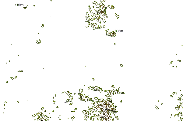
| Contours: | Roads & Rivers: | Select a
tide station / surf break / city |
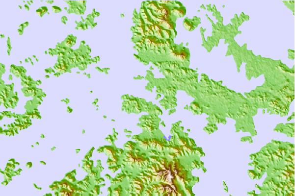
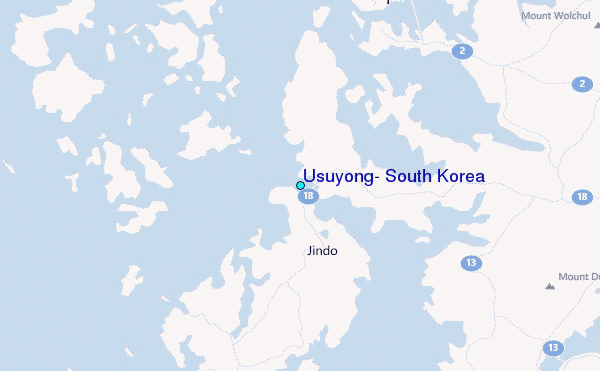
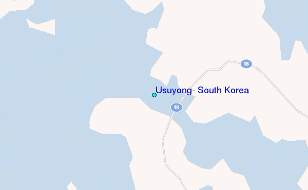
Use this relief map to navigate to tide stations, surf breaks and cities that are in the area of Usuyong, South Korea.
Other Nearby Locations' tide tables and tide charts to Usuyong, South Korea:
click location name for more details
 Surf breaks close to Usuyong, South Korea:
|
||
|---|---|---|
| Closest surf break | Jungmun Beach (Jeju Island) | 93 mi |
| Second closest surf break | Kangjeong (Jejudo Island) | 94 mi |
| Third closest surf break | Busan (Haeundae Beach) | 168 mi |
| Fourth closest surf break | Fukuoka | 227 mi |
| Fifth closest surf break | Nomozaki | 231 mi |


 Nearest
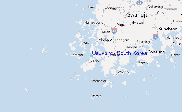