
| Distance / Altitude | Location | Report Date / Time | Live Weather | Wind | Gusts | Temp. | Visibility | Cloud |
|---|---|---|---|---|---|---|---|---|
| 1 km N / 3 m | BUOY-VDZA2 (Marine) | 2026-06-01 15:48 local (2026/06/01 23:48 GMT) | light winds from the W (8 km/h at 260) | — | - | |||
| 1 km ENE / 3 m | BUOY-VDXA2 (Marine) | 2026-06-01 16:02 local (2026/06/02 00:02 GMT) | light winds from the SSW (9 km/h at 200) | 13°C | - | |||
| 2 km NW / 1 m | Valdez wx (United States) | 2026-06-01 15:10 local (2026/06/01 23:10 GMT) | - | calm (3 km/h at 237) | — | - | - - 0 | |
| 6 km E / 217 m | Valdez Pioneer Field Airport (Alaska) | 2026-06-01 14:56 local (2026/06/01 22:56 GMT) | - | calm (0 km/h at 0) | — | 16 | few few overcast | |
| 14 km S / 15 m | SHIP8269 (Marine) | 2026-06-01 15:00 local (2026/06/01 23:00 GMT) | - (- km/h at -) | — | - km | |||
| 14 km S / 3 m | SHIP6995 (Marine) | 2026-06-01 14:00 local (2026/06/01 22:00 GMT) | - (- km/h at -) | 19°C | - | |||
| 14 km S / 15 m | SHIP4291 (Marine) | 2026-06-01 15:00 local (2026/06/01 23:00 GMT) | - (- km/h at -) | — | - km | |||
| 14 km S / 15 m | SHIP2397 (Marine) | 2026-06-01 14:00 local (2026/06/01 22:00 GMT) | - (- km/h at -) | — | - km | |||
| 14 km S / 15 m | SHIP4867 (Marine) | 2026-06-01 14:00 local (2026/06/01 22:00 GMT) | - (- km/h at -) | — | - km | |||
| 14 km S / 15 m | SHIP8592 (Marine) | 2026-06-01 14:00 local (2026/06/01 22:00 GMT) | - (- km/h at -) | — | - km |
| Contours: | Roads & Rivers: | Select a
tide station / surf break / city |
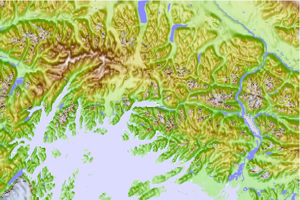
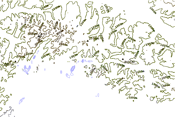
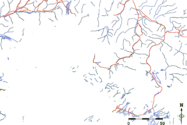
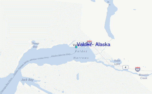
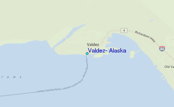
Use this relief map to navigate to tide stations, surf breaks and cities that are in the area of Valdez, Alaska.
Other Nearby Locations' tide tables and tide charts to Valdez, Alaska:
click location name for more details
 Surf breaks close to Valdez, Alaska:
|
||
|---|---|---|
| Closest surf break | Bird Point (Tidal Bore) | 171 mi |
| Second closest surf break | Ocean Cape | 247 mi |
| Third closest surf break | Graveyards | 249 mi |
| Fourth closest surf break | Cannon Beach | 252 mi |
| Fifth closest surf break | Termination Point | 310 mi |


 Nearest
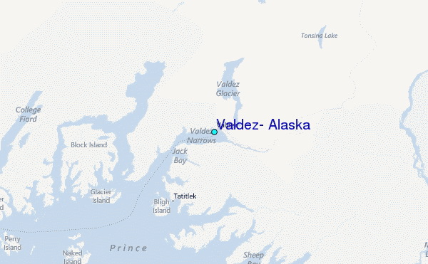