
| Distance / Altitude | Location | Report Date / Time | Live Weather | Wind | Gusts | Temp. | Visibility | Cloud |
|---|---|---|---|---|---|---|---|---|
| 11 km NE / 22 m | Bronshoj (Denmark) | 2025-12-20 17:20 local (2025/12/20 16:20 GMT) | dry | - (- km/h at ) | — | - | - - 0 | |
| 17 km SW / 216 m | Koebenhavnroskilde (Denmark) | 2025-12-20 18:00 local (2025/12/20 17:00 GMT) | - | light winds from the SW (11 km/h at 230) | 4°C | 27 km | - mostly cloudy - | |
| 17 km SW / 216 m | Roskilde Airport (Denmark) | 2025-12-20 16:00 local (2025/12/20 15:00 GMT) | no report | light winds from the SW (13 km/h at 230) | 19°C | 10.0 | no cloud mostly cloudy - | |
| 18 km E / 5 m | KoebenhavnsLufthavn (Denmark) | 2025-12-20 18:00 local (2025/12/20 17:00 GMT) | - | light winds from the SW (9 km/h at 230) | 5°C | 35 km | mostly cloudy | |
| 18 km NE / 42 m | Koebenhavn/Jaegersb (Denmark) | 2025-12-20 18:00 local (2025/12/20 17:00 GMT) | Clear skies | calm (2 km/h at 190) | 6°C | 36 km | no observation | |
| 19 km E / 220 m | Copenhagen/Kastrup Airport (Denmark) | 2025-12-20 17:20 local (2025/12/20 16:20 GMT) | - | light winds from the SW (9 km/h at 220) | 4°C | 10.0 | ||
| 24 km ESE / 14 m | Drogden lighthouse (Denmark) | 2025-12-20 18:00 local (2025/12/20 17:00 GMT) | Clear skies | light winds from the SW (19 km/h at 230) | 6°C | 39 km | no observation | |
| 27 km N / 41 m | Sjaelsmark (Denmark and Faroe Islands) | 2025-12-20 16:00 local (2025/12/20 15:00 GMT) | - | light winds from the W (19 km/h at 270) | — | 50 | - - - | |
| 30 km S / 22 m | Tesseboelle (Denmark and Faroe Islands) | 2025-12-20 16:00 local (2025/12/20 15:00 GMT) | - | light winds from the WSW (13 km/h at 250) | — | 35 | - | |
| 33 km WNW / 23 m | Over Dråby wx (Denmark) | 2025-12-20 17:33 local (2025/12/20 16:33 GMT) | dry | calm (3 km/h at 206) | 4°C | - | - - 0 |
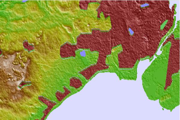
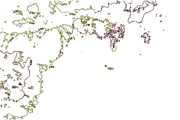
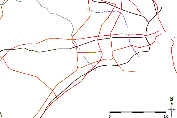
| Contours: | Roads & Rivers: | Select a
tide station / surf break / city |
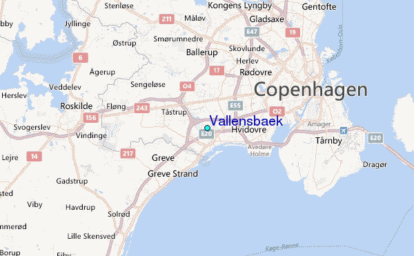
Use this relief map to navigate to tide stations, surf breaks and cities that are in the area of Vallensbaek.
Other Nearby Locations' tide tables and tide charts to Vallensbaek:
click location name for more details
 Surf breaks close to Vallensbaek:
|
||
|---|---|---|
| Closest surf break | Alogarde | 32 mi |
| Second closest surf break | Hornhole | 32 mi |
| Third closest surf break | Gilleleje | 34 mi |
| Fourth closest surf break | Smidstrop | 34 mi |
| Fifth closest surf break | Kåseberga | 68 mi |


 Nearest
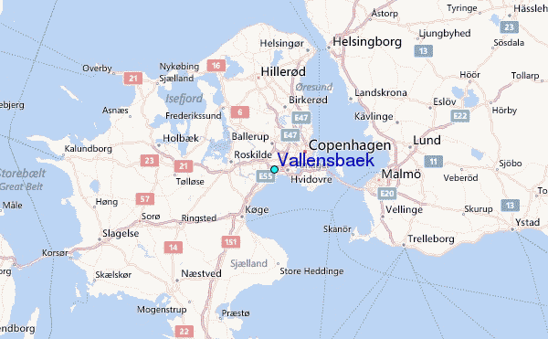