
| Distance / Altitude | Location | Report Date / Time | Live Weather | Wind | Gusts | Temp. | Visibility | Cloud |
|---|---|---|---|---|---|---|---|---|
| 8 km ESE / 191 m | Seychelles International Airport (Seychelles) | 2025-12-25 01:00 local (2025/12/24 21:00 GMT) | Clouds dissolving | calm (4 km/h at 990) | 24°C | 30 km | few scattered - | |
| 559 km NNE / 15 m | SHIP2886 (Marine) | 2025-12-25 01:00 local (2025/12/24 21:00 GMT) | moderate winds from the NNW (27.720000000000002 km/h at 340) | — | 8.1 km | |||
| 1185 km SSW / 4 m | Iles Glorieuses (France) | 2025-12-25 00:00 local (2025/12/24 20:00 GMT) | no report | light winds from the ESE (11 km/h at 110) | 30°C | - | - | |
| 1315 km ENE / 3 m | BUOY-23016 (Marine) | 2025-12-25 00:00 local (2025/12/24 20:00 GMT) | moderate winds from the W (20 km/h at 265) | 29°C | - | |||
| 556 km NNE / 3 m | SHIP4553 (Marine) | 2025-12-25 01:00 local (2025/12/24 21:00 GMT) | moderate winds from the NNW (28 km/h at 340) | 25°C | 9.3 | |||
| 1183 km SSW / 4 m | Iles Glorieuses (France) | 2025-12-25 00:00 local (2025/12/24 20:00 GMT) | no report | light winds from the ESE (11 km/h at 110) | 30°C | - | - | |
| 1298 km NNE / 3 m | SHIP4711 (Marine) | 2025-12-25 02:00 local (2025/12/24 22:00 GMT) | - (- km/h at -) | 26°C | - | |||
| 1316 km ENE / 3 m | BUOY-23016 (Marine) | 2025-12-25 00:00 local (2025/12/24 20:00 GMT) | moderate winds from the W (20 km/h at 265) | 29°C | - | |||
| 1324 km NNE / 15 m | SHIP3082 (Marine) | 2025-12-25 01:00 local (2025/12/24 21:00 GMT) | - (- km/h at -) | — | - km | |||
| 1324 km NNE / 3 m | SHIP4557 (Marine) | 2025-12-25 01:00 local (2025/12/24 21:00 GMT) | - (- km/h at -) | 26°C | - |
| Contours: | Roads & Rivers: | Select a
tide station / surf break / city |
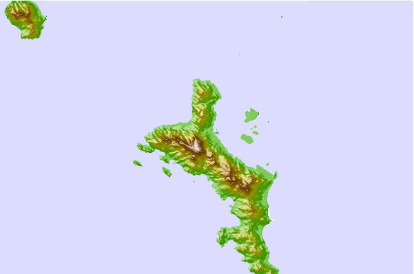
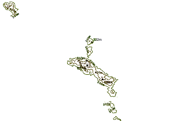
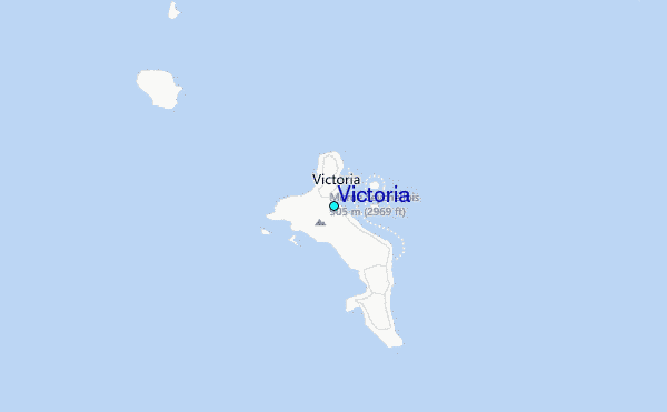
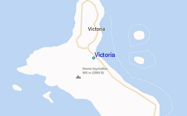
Use this relief map to navigate to tide stations, surf breaks and cities that are in the area of Victoria.
Other Nearby Locations' tide tables and tide charts to Victoria:
click location name for more details
 Surf breaks close to Victoria:
|
||
|---|---|---|
| Closest surf break | Beau Vallon Beach | 2 mi |
| Second closest surf break | Bel Ombre | 2 mi |
| Third closest surf break | Grande Anse (Mahe) | 3 mi |
| Fourth closest surf break | North East Point | 4 mi |
| Fifth closest surf break | Carana | 5 mi |


 Nearest
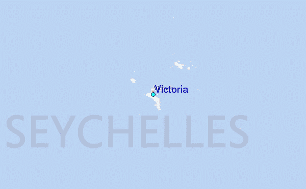